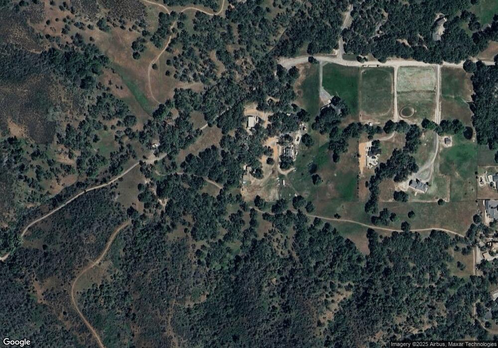
1501 Sandy Ln Lakeport, CA 95453
Estimated Value: $487,389 - $549,000
4
Beds
2
Baths
1,938
Sq Ft
$268/Sq Ft
Est. Value
About This Home
This home is located at 1501 Sandy Ln, Lakeport, CA 95453 and is currently estimated at $519,097, approximately $267 per square foot. 1501 Sandy Ln is a home located in Lake County with nearby schools including Lakeport Elementary School, Terrace Middle School, and Clear Lake High School.
Ownership History
Date
Name
Owned For
Owner Type
Purchase Details
Closed on
Feb 19, 2021
Sold by
Knight Richard A
Bought by
Knight Michael Alan and Knight Caitlyn Bridget
Current Estimated Value
Home Financials for this Owner
Home Financials are based on the most recent Mortgage that was taken out on this home.
Original Mortgage
$375,000
Outstanding Balance
$335,106
Interest Rate
2.65%
Mortgage Type
Seller Take Back
Estimated Equity
$183,991
Create a Home Valuation Report for This Property
The Home Valuation Report is an in-depth analysis detailing your home's value as well as a comparison with similar homes in the area
Home Values in the Area
Average Home Value in this Area
Purchase History
| Date | Buyer | Sale Price | Title Company |
|---|---|---|---|
| Knight Michael Alan | $375,000 | None Available |
Source: Public Records
Mortgage History
| Date | Status | Borrower | Loan Amount |
|---|---|---|---|
| Open | Knight Michael Alan | $375,000 |
Source: Public Records
Tax History Compared to Growth
Tax History
| Year | Tax Paid | Tax Assessment Tax Assessment Total Assessment is a certain percentage of the fair market value that is determined by local assessors to be the total taxable value of land and additions on the property. | Land | Improvement |
|---|---|---|---|---|
| 2025 | $5,899 | $514,153 | $216,485 | $297,668 |
| 2024 | $5,751 | $504,073 | $212,241 | $291,832 |
| 2023 | $5,651 | $494,190 | $208,080 | $286,110 |
| 2022 | $5,560 | $484,500 | $204,000 | $280,500 |
| 2021 | $3,744 | $318,958 | $115,090 | $203,868 |
| 2020 | $3,623 | $315,688 | $113,910 | $201,778 |
| 2019 | $3,605 | $309,499 | $111,677 | $197,822 |
| 2018 | $3,345 | $303,432 | $109,488 | $193,944 |
| 2017 | $3,327 | $297,484 | $107,342 | $190,142 |
| 2016 | $3,258 | $291,652 | $105,238 | $186,414 |
| 2015 | $3,218 | $287,272 | $103,658 | $183,614 |
| 2014 | $2,977 | $281,646 | $101,628 | $180,018 |
Source: Public Records
Map
Nearby Homes
- 2110 Diane Way
- 501 Island View Dr
- 8155 California 29
- 8205 California 29
- 2441 Parallel Dr
- 440 Campbell Ln
- 205 Kimberly Ln
- 333 Grace Ln
- 2023 Hampton Park
- 2021 Hampton Park
- 1900 S Main St Unit 52
- 1524 Martin St
- 60 Shirley Ct
- 608 Dixon Dr
- 1025 Martin St Unit 32
- 1025 Martin St Unit 2
- 1025 Martin St Unit 13
- 1800 S Main St
- 1800 S Main St Unit 16
- 1800 S Main St Unit 19
- 1493 Sandy Ln
- 1487 Sandy Ln
- 1479 Sandy Ln
- 1449 Sandy Ln
- 1855 Creekside Dr
- 1419 Sandy Ln
- 1482 Sandy Ln
- 1755 Creekside Dr
- 2333 Diane Way
- 2251 Diane Way
- 2403 Diane Way
- 1205 Sandy Ln
- 2117 Diane Way
- 1760 Creekside Dr
- 2445 Diane Way
- 2202 Diane Way
- 2246 Diane Way
- 2356 Diane Way
- 2286 Diane Way
- 1472 Creekside Dr
