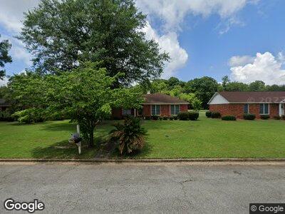
1501 Westwood Dr Albany, GA 31721
Westwood NeighborhoodEstimated Value: $176,000 - $210,000
3
Beds
2
Baths
1,695
Sq Ft
$115/Sq Ft
Est. Value
About This Home
This home is located at 1501 Westwood Dr, Albany, GA 31721 and is currently estimated at $195,337, approximately $115 per square foot. 1501 Westwood Dr is a home located in Dougherty County with nearby schools including Lake Park Elementary School, Merry Acres Middle School, and Westover High School.
Ownership History
Date
Name
Owned For
Owner Type
Purchase Details
Closed on
Aug 3, 2022
Sold by
Askew Frederick
Bought by
Askew Willie Kate
Current Estimated Value
Purchase Details
Closed on
Jun 9, 1997
Sold by
Slaughter Patricia Harris and Slaughter James E
Bought by
Askew Frederick and Askew Mary
Purchase Details
Closed on
Jun 4, 1993
Sold by
Slaughter Patricia H
Bought by
Slaughter James E
Purchase Details
Closed on
Jul 18, 1978
Sold by
Harris Catherine and Harris P
Bought by
Harris Patricia E
Create a Home Valuation Report for This Property
The Home Valuation Report is an in-depth analysis detailing your home's value as well as a comparison with similar homes in the area
Home Values in the Area
Average Home Value in this Area
Purchase History
| Date | Buyer | Sale Price | Title Company |
|---|---|---|---|
| Askew Willie Kate | -- | -- | |
| Askew Frederick | $96,900 | -- | |
| Slaughter James E | -- | -- | |
| Harris Patricia E | -- | -- |
Source: Public Records
Mortgage History
| Date | Status | Borrower | Loan Amount |
|---|---|---|---|
| Previous Owner | Askew Frederick | $109,700 |
Source: Public Records
Tax History Compared to Growth
Tax History
| Year | Tax Paid | Tax Assessment Tax Assessment Total Assessment is a certain percentage of the fair market value that is determined by local assessors to be the total taxable value of land and additions on the property. | Land | Improvement |
|---|---|---|---|---|
| 2024 | -- | $47,324 | $7,520 | $39,804 |
| 2023 | $2,205 | $47,324 | $7,520 | $39,804 |
| 2022 | $2,052 | $47,324 | $7,520 | $39,804 |
| 2021 | $2,052 | $47,324 | $7,520 | $39,804 |
| 2020 | $2,057 | $47,324 | $7,520 | $39,804 |
| 2019 | $2,064 | $47,324 | $7,520 | $39,804 |
| 2018 | $2,073 | $47,324 | $7,520 | $39,804 |
| 2017 | $1,931 | $47,324 | $7,520 | $39,804 |
| 2016 | $1,932 | $47,324 | $7,520 | $39,804 |
| 2015 | $1,938 | $47,324 | $7,520 | $39,804 |
| 2014 | $1,913 | $47,324 | $7,520 | $39,804 |
Source: Public Records
Map
Nearby Homes
- 2811 Stonewater Dr
- 2613 Partridge Dr
- 2203 Hanover St
- 2303 Pineridge Ln
- 1604 Westfield Ct
- 465 Kingswood Ct Unit 4465
- 479 Kingswood Ct
- 418 Partridge Dr
- 427 Forest Glen Dr
- 514 N Audubon Dr
- 444 Kingswood Ct
- 2205 Star Ln
- 2310 Pineridge Ln
- 1813 Gillionville Rd
- 427 S Audubon Dr
- 2202 Hutchison Ln
- 3106 Wax Myrtle Ln
- 2506 Fairfax Dr
- 1930 Beattie Rd
- 2500 Fairfax Dr
- 1501 Westwood Dr
- 1503 Westwood Dr
- 1409 Westwood Dr
- 0 Westwood Dr Unit 7334689
- 0 Westwood Dr Unit 7523968
- 0 Westwood Dr Unit 7519972
- 0 Westwood Dr
- 1505 Westwood Dr
- 1407 Westwood Dr
- 2821 Reeves Ln
- 1507 Westwood Dr
- 2822 Reeves Ln
- 1405 Westwood Dr
- 2819 Reeves Ln
- 1506 Westwood Dr
- 1509 Westwood Dr
- 1403 Westwood Dr
- 2820 Reeves Ln
- 2819 Falcon Ln
- 2817 Reeves Ln