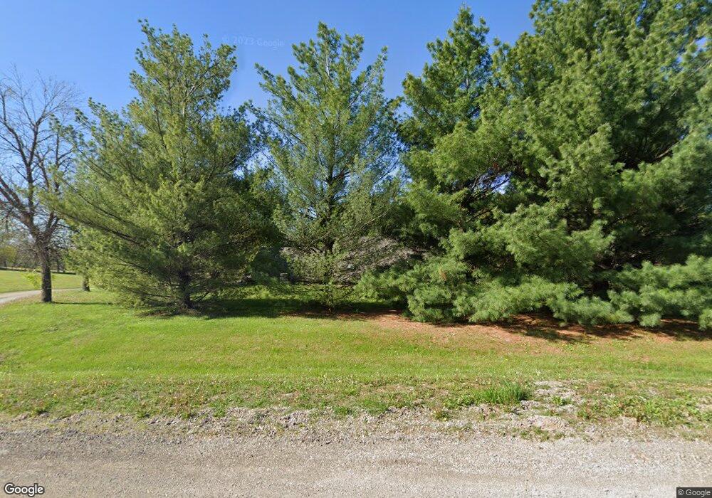
15010 Woodcliff Cir Kearney, MO 64060
Estimated Value: $402,000 - $428,000
2
Beds
2
Baths
1,600
Sq Ft
$260/Sq Ft
Est. Value
About This Home
This home is located at 15010 Woodcliff Cir, Kearney, MO 64060 and is currently estimated at $415,555, approximately $259 per square foot. 15010 Woodcliff Cir is a home located in Clay County with nearby schools including Kearney Junior High School and Kearney High School.
Ownership History
Date
Name
Owned For
Owner Type
Purchase Details
Closed on
Dec 5, 2002
Sold by
Franks Jerry and Franks Kathy
Bought by
Franks Jerry L and Franks Kathy E
Current Estimated Value
Home Financials for this Owner
Home Financials are based on the most recent Mortgage that was taken out on this home.
Original Mortgage
$119,500
Interest Rate
6.05%
Purchase Details
Closed on
Dec 30, 1997
Sold by
Thomas Dale L and Thomas Beth A
Bought by
Franks Jerry and Franks Jerry Lynn
Home Financials for this Owner
Home Financials are based on the most recent Mortgage that was taken out on this home.
Original Mortgage
$129,690
Interest Rate
7.15%
Purchase Details
Closed on
Jun 25, 1997
Sold by
Zajac Helmut and Zajac Linda C
Bought by
Thomas Dale and Thomas Beth
Home Financials for this Owner
Home Financials are based on the most recent Mortgage that was taken out on this home.
Original Mortgage
$165,000
Interest Rate
8.5%
Create a Home Valuation Report for This Property
The Home Valuation Report is an in-depth analysis detailing your home's value as well as a comparison with similar homes in the area
Home Values in the Area
Average Home Value in this Area
Purchase History
| Date | Buyer | Sale Price | Title Company |
|---|---|---|---|
| Franks Jerry L | -- | Old Republic Title | |
| Franks Jerry | -- | -- | |
| Thomas Dale | -- | Chicago Title Insurance Co |
Source: Public Records
Mortgage History
| Date | Status | Borrower | Loan Amount |
|---|---|---|---|
| Closed | Franks Jerry L | $119,500 | |
| Closed | Franks Jerry | $129,690 | |
| Previous Owner | Thomas Dale | $165,000 |
Source: Public Records
Tax History Compared to Growth
Tax History
| Year | Tax Paid | Tax Assessment Tax Assessment Total Assessment is a certain percentage of the fair market value that is determined by local assessors to be the total taxable value of land and additions on the property. | Land | Improvement |
|---|---|---|---|---|
| 2025 | $2,516 | $45,700 | -- | -- |
| 2024 | $2,516 | $39,770 | -- | -- |
| 2023 | $2,507 | $39,770 | $0 | $0 |
| 2022 | $2,314 | $35,550 | $0 | $0 |
| 2021 | $2,264 | $35,549 | $9,101 | $26,448 |
| 2020 | $2,171 | $30,970 | $0 | $0 |
| 2019 | $2,159 | $30,970 | $0 | $0 |
| 2018 | $2,336 | $32,380 | $0 | $0 |
| 2017 | $2,307 | $32,380 | $7,410 | $24,970 |
| 2016 | $2,307 | $32,380 | $7,410 | $24,970 |
| 2015 | $2,308 | $32,380 | $7,410 | $24,970 |
| 2014 | $2,234 | $31,180 | $7,410 | $23,770 |
Source: Public Records
Map
Nearby Homes
- 15025 Jesse James Farm Rd
- 21619 NE 150th St
- 1210 E 15th St
- 1610 Renea Ct
- 1812 Lauren Ln
- 1043 E 14th St
- 1300 Melissa Ct
- 1302 Melissa Ct
- 1710 Clear Creek Dr
- 804 Southbrook Pkwy
- 808 E 16th St
- 1307 Stonecrest Dr
- 1204 Susan St
- 806 E 18th St
- 1205 Noah's Ln
- 1207 Noah's Ln
- 1209 Noah's Ln
- 625 E 13th St
- 14117 Homestead Rd
- 1102 Noah's Ln
- 15016 Woodcliffe Cir
- 15016 Woodcliff Cir
- 15008 Woodcliff Cir
- 15017 Woodcliff Cir
- 15022 Woodcliffe Cir
- 15022 Woodcliff Cir
- 15009 Woodcliffe Cir
- 15009 Woodcliff Cir
- 15104 Woodcliff Cir
- 15106 Woodcliff Cir
- 20600 State Route 92
- 20600 Missouri 92
- 15124 Woodcliff Cir
- 15103 Woodcliff Cir
- 15103 Woodcliffe Cir
- 15121 Woodcliff Cir
- 15120 Woodcliff Cir
- 20411 State Route 92
- 15117 Woodcliff Cir
- 20411 Missouri 92
