15011 State Route 301 Lagrange, OH 44050
Estimated Value: $177,000 - $282,000
2
Beds
1
Bath
942
Sq Ft
$237/Sq Ft
Est. Value
About This Home
This home is located at 15011 State Route 301, Lagrange, OH 44050 and is currently estimated at $223,013, approximately $236 per square foot. 15011 State Route 301 is a home located in Lorain County with nearby schools including Keystone Elementary School, Keystone Middle School, and Keystone High School.
Ownership History
Date
Name
Owned For
Owner Type
Purchase Details
Closed on
Nov 11, 2021
Sold by
C And R Karpinski Family Irrevocable Tru and Karpinski Craig A
Bought by
Price Madison P
Current Estimated Value
Home Financials for this Owner
Home Financials are based on the most recent Mortgage that was taken out on this home.
Original Mortgage
$160,050
Interest Rate
3.85%
Mortgage Type
New Conventional
Create a Home Valuation Report for This Property
The Home Valuation Report is an in-depth analysis detailing your home's value as well as a comparison with similar homes in the area
Home Values in the Area
Average Home Value in this Area
Purchase History
| Date | Buyer | Sale Price | Title Company |
|---|---|---|---|
| Price Madison P | -- | None Listed On Document |
Source: Public Records
Mortgage History
| Date | Status | Borrower | Loan Amount |
|---|---|---|---|
| Previous Owner | Price Madison P | $160,050 |
Source: Public Records
Tax History Compared to Growth
Tax History
| Year | Tax Paid | Tax Assessment Tax Assessment Total Assessment is a certain percentage of the fair market value that is determined by local assessors to be the total taxable value of land and additions on the property. | Land | Improvement |
|---|---|---|---|---|
| 2024 | $2,786 | $67,526 | $25,788 | $41,738 |
| 2023 | $2,646 | $53,645 | $25,193 | $28,452 |
| 2022 | $2,206 | $53,645 | $25,193 | $28,452 |
| 2021 | $2,206 | $53,645 | $25,193 | $28,452 |
| 2020 | $1,853 | $42,270 | $19,850 | $22,420 |
| 2019 | $1,841 | $42,270 | $19,850 | $22,420 |
| 2018 | $1,904 | $42,270 | $19,850 | $22,420 |
| 2017 | $2,013 | $44,050 | $20,770 | $23,280 |
| 2016 | $1,998 | $44,050 | $20,770 | $23,280 |
| 2015 | $1,994 | $44,050 | $20,770 | $23,280 |
| 2014 | $1,613 | $41,550 | $19,590 | $21,960 |
| 2013 | $1,564 | $41,550 | $19,590 | $21,960 |
Source: Public Records
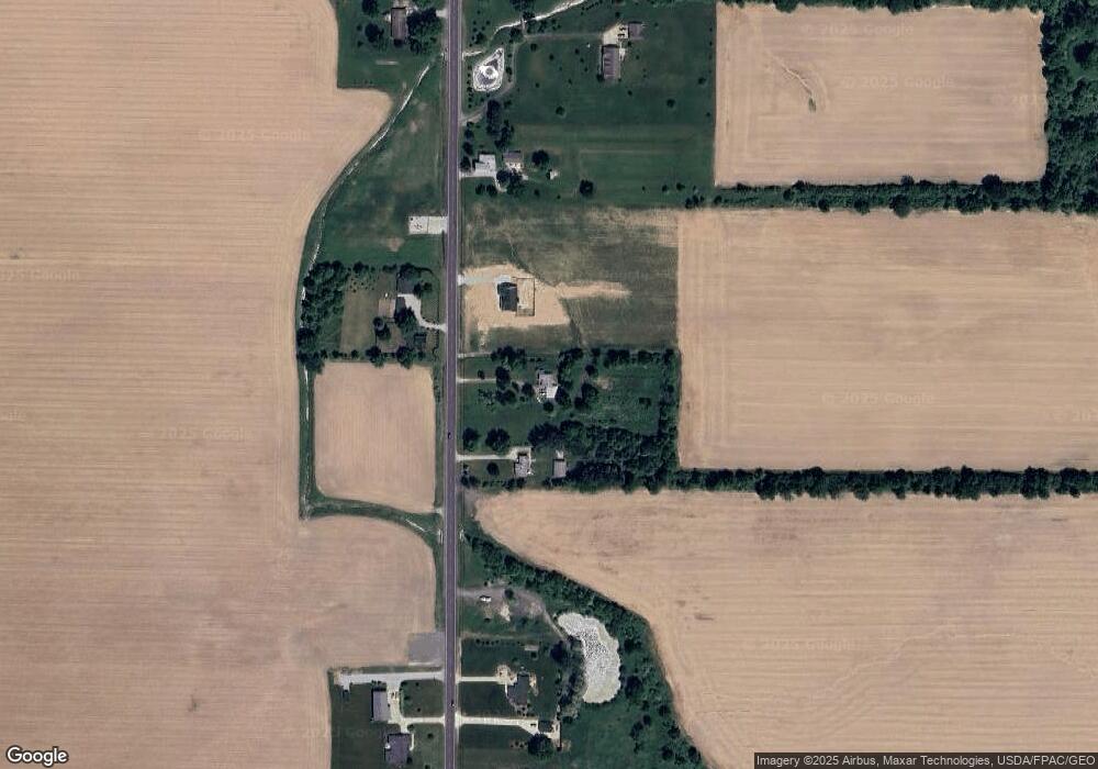
Map
Nearby Homes
- 41635 Parsons Rd
- 756 N Center St
- 40725 Biggs Rd
- 829 Robinson Dr
- 831 Robinson Dr
- 822 Robinson Dr
- 808 Buckingham Dr
- 800 Buckingham Dr
- 40175 Banks Rd
- 40185 Banks Rd
- 630 Rundle St
- 128 Harvest Ct
- 548 William St
- 40163 Banks Rd
- 607 Rundle St
- 516 Appomattox Ct
- 171 Keywood Blvd
- 433 N Center St
- 0 Dill Ct Unit 5072837
- 194 Railroad St
- 15055 State Route 301
- 14945 State Route 301
- 14996 State Route 301
- 14907 State Route 301
- 15157 Lagrange Rd
- 14871 State Route 301
- 14809 Lagrange Rd
- 15186 State Route 301
- 15197 Lagrange Rd
- 15197 State Route 301
- 14838 State Route 301
- 14809 State Route 301
- 14791 State Route 301
- 14773 State Route 301
- 14802 State Route 301
- 14762 State Route 301
- 14737 State Route 301
- 14740 State Route 301
- 14720 State Route 301
- 14697 State Route 301