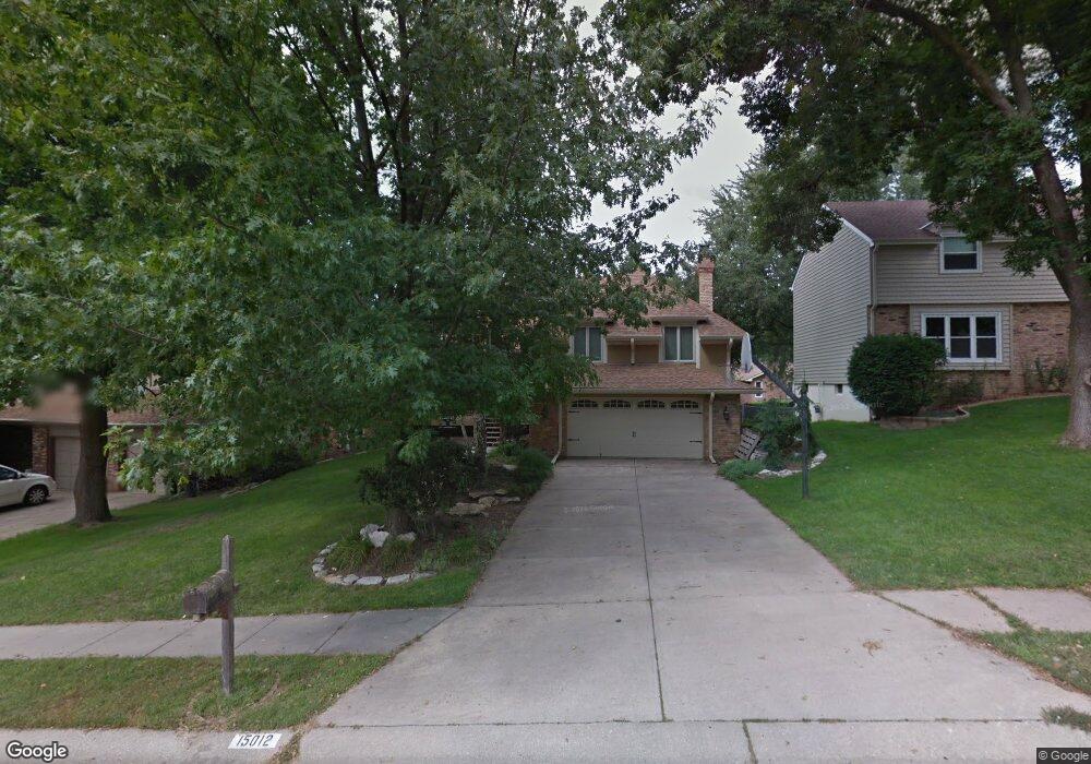
15012 Brookside Cir Omaha, NE 68144
Harvey Oaks NeighborhoodEstimated Value: $406,077 - $483,000
4
Beds
3
Baths
3,440
Sq Ft
$127/Sq Ft
Est. Value
About This Home
This home is located at 15012 Brookside Cir, Omaha, NE 68144 and is currently estimated at $436,019, approximately $126 per square foot. 15012 Brookside Cir is a home located in Douglas County with nearby schools including Harvey Oaks Elementary School, Millard North Middle School, and Millard North High School.
Ownership History
Date
Name
Owned For
Owner Type
Purchase Details
Closed on
Apr 21, 2011
Sold by
Kloster Jeffrey M and Kloster Deborah
Bought by
Girthoffer Zachary J and Girthoffer Genelle A
Current Estimated Value
Home Financials for this Owner
Home Financials are based on the most recent Mortgage that was taken out on this home.
Original Mortgage
$212,473
Outstanding Balance
$145,347
Interest Rate
4.62%
Mortgage Type
FHA
Estimated Equity
$290,672
Create a Home Valuation Report for This Property
The Home Valuation Report is an in-depth analysis detailing your home's value as well as a comparison with similar homes in the area
Home Values in the Area
Average Home Value in this Area
Purchase History
| Date | Buyer | Sale Price | Title Company |
|---|---|---|---|
| Girthoffer Zachary J | $218,000 | Nlta |
Source: Public Records
Mortgage History
| Date | Status | Borrower | Loan Amount |
|---|---|---|---|
| Open | Girthoffer Zachary J | $212,473 |
Source: Public Records
Tax History
| Year | Tax Paid | Tax Assessment Tax Assessment Total Assessment is a certain percentage of the fair market value that is determined by local assessors to be the total taxable value of land and additions on the property. | Land | Improvement |
|---|---|---|---|---|
| 2025 | $6,251 | $368,800 | $33,000 | $335,800 |
| 2024 | $6,070 | $368,800 | $33,000 | $335,800 |
| 2023 | $6,070 | $304,900 | $33,000 | $271,900 |
| 2022 | $6,444 | $304,900 | $33,000 | $271,900 |
| 2021 | $5,587 | $265,700 | $33,000 | $232,700 |
| 2020 | $5,633 | $265,700 | $33,000 | $232,700 |
| 2019 | $5,055 | $237,700 | $33,000 | $204,700 |
| 2018 | $5,125 | $237,700 | $33,000 | $204,700 |
| 2017 | $4,758 | $224,200 | $33,000 | $191,200 |
| 2016 | $5,235 | $246,400 | $17,000 | $229,400 |
Source: Public Records
Map
Nearby Homes
- 2534 S 148 Avenue Cir
- 14555 Harvey Oaks Ave
- 1716 S 150th St
- 15355 Shirley St
- 2519 S 154th Cir
- 1702 S 150th Ave Unit Lot 22
- 2006 S 143rd St
- 1558 S 150th Ave Unit Lot 7
- 1636 S 152nd St
- 1544 S 150th Ave
- 14210 Woolworth Cir
- 15355 Mason Plaza
- 1425 S 158th Cir
- 14006 Poppleton Cir
- 13818 Marinda Cir
- 15231 Grover St
- 13910 Shirley St
- 904 S 152nd Cir
- 13968 William Cir
- 1811 S 139th St
- 15018 Brookside Cir
- 15006 Brookside Cir
- 15017 Cedar Cir
- 15011 Cedar Cir
- 15024 Brookside Cir
- 14924 Brookside Cir
- 15023 Cedar Cir
- 15013 Brookside Cir
- 15007 Brookside Cir
- 15019 Brookside Cir
- 15027 Cedar Cir
- 14925 Brookside Cir
- 15036 Brookside Cir
- 14920 Brookside Cir
- 14935 Cedar Cir
- 14917 Brookside Cir
- 15031 Brookside Cir
- 15018 Cedar Cir
- 14918 Dorcas Cir
- 14916 Brookside Cir
Your Personal Tour Guide
Ask me questions while you tour the home.