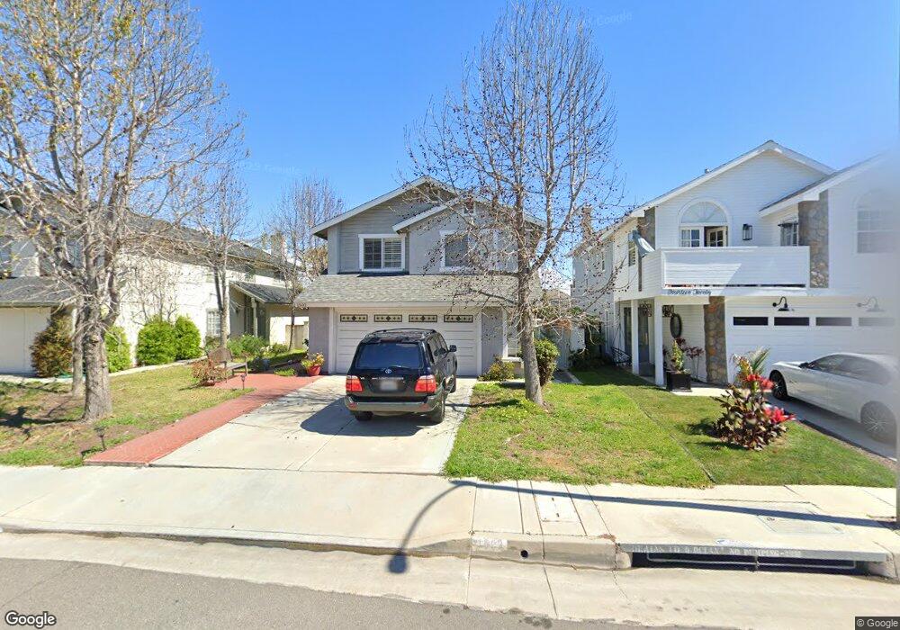
1502 Lakeside Ln Huntington Beach, CA 92648
Estimated Value: $1,275,000 - $1,439,435
3
Beds
3
Baths
1,987
Sq Ft
$676/Sq Ft
Est. Value
About This Home
This home is located at 1502 Lakeside Ln, Huntington Beach, CA 92648 and is currently estimated at $1,344,109, approximately $676 per square foot. 1502 Lakeside Ln is a home located in Orange County with nearby schools including John R. Peterson Elementary, Ethel Dwyer Middle, and Huntington Beach High School.
Ownership History
Date
Name
Owned For
Owner Type
Purchase Details
Closed on
Feb 2, 2007
Sold by
Ring Dennis J
Bought by
Ring Dennis John and Goodhart Norma Altagracia
Current Estimated Value
Create a Home Valuation Report for This Property
The Home Valuation Report is an in-depth analysis detailing your home's value as well as a comparison with similar homes in the area
Home Values in the Area
Average Home Value in this Area
Purchase History
| Date | Buyer | Sale Price | Title Company |
|---|---|---|---|
| Ring Dennis John | -- | None Available |
Source: Public Records
Tax History Compared to Growth
Tax History
| Year | Tax Paid | Tax Assessment Tax Assessment Total Assessment is a certain percentage of the fair market value that is determined by local assessors to be the total taxable value of land and additions on the property. | Land | Improvement |
|---|---|---|---|---|
| 2025 | $6,420 | $564,846 | $352,548 | $212,298 |
| 2024 | $6,420 | $553,771 | $345,635 | $208,136 |
| 2023 | $6,274 | $542,913 | $338,858 | $204,055 |
| 2022 | $6,108 | $532,268 | $332,214 | $200,054 |
| 2021 | $5,994 | $521,832 | $325,700 | $196,132 |
| 2020 | $5,954 | $516,482 | $322,361 | $194,121 |
| 2019 | $5,883 | $506,355 | $316,040 | $190,315 |
| 2018 | $5,792 | $496,427 | $309,843 | $186,584 |
| 2017 | $5,714 | $486,694 | $303,768 | $182,926 |
| 2016 | $5,462 | $477,151 | $297,811 | $179,340 |
| 2015 | $5,408 | $469,984 | $293,337 | $176,647 |
| 2014 | $5,294 | $460,778 | $287,591 | $173,187 |
Source: Public Records
Map
Nearby Homes
- 20251 Cape Coral Ln Unit 315
- 609 Amber Dr
- 20301 Bluffside Cir Unit D312
- 20301 Bluffside Cir Unit D401
- 8122 Seawater Dr
- 20331 Bluffside Cir Unit 417
- 20331 Bluffside Cir Unit 411
- 20331 Bluffside Cir Unit 222
- 20331 Bluffside Cir Unit A320
- 20331 Bluffside Cir Unit A108
- 1425 Alpine Ln
- 20371 Bluffside Cir Unit B214
- 1015 Georgia St
- 20302 Tidepool Cir Unit 204
- 344 Portland Cir Unit 342
- 1208 California St
- 20401 Somerville Ln
- 20162 S New Britain Ln
- 1017 Delaware St
- 219 Portland Ave
- 1420 Lakeside Ln
- 1504 Lakeside Ln
- 1506 Lakeside Ln
- 1416 Lakeside Ln
- 1508 Lakeside Ln
- 1414 Lakeside Ln
- 1510 Lakeside Ln
- 1412 Lakeside Ln
- 1419 Lakeside Ln
- 1501 Lakeside Ln
- 1503 Lakeside Ln
- 1417 Lakeside Ln
- 1505 Lakeside Ln
- 1512 Lakeside Ln
- 1415 Lakeside Ln
- 1408 Lakeside Ln
- 1509 Lakeside Ln
- 1413 Lakeside Ln
- 1511 Lakeside Ln
- 1514 Lakeside Ln