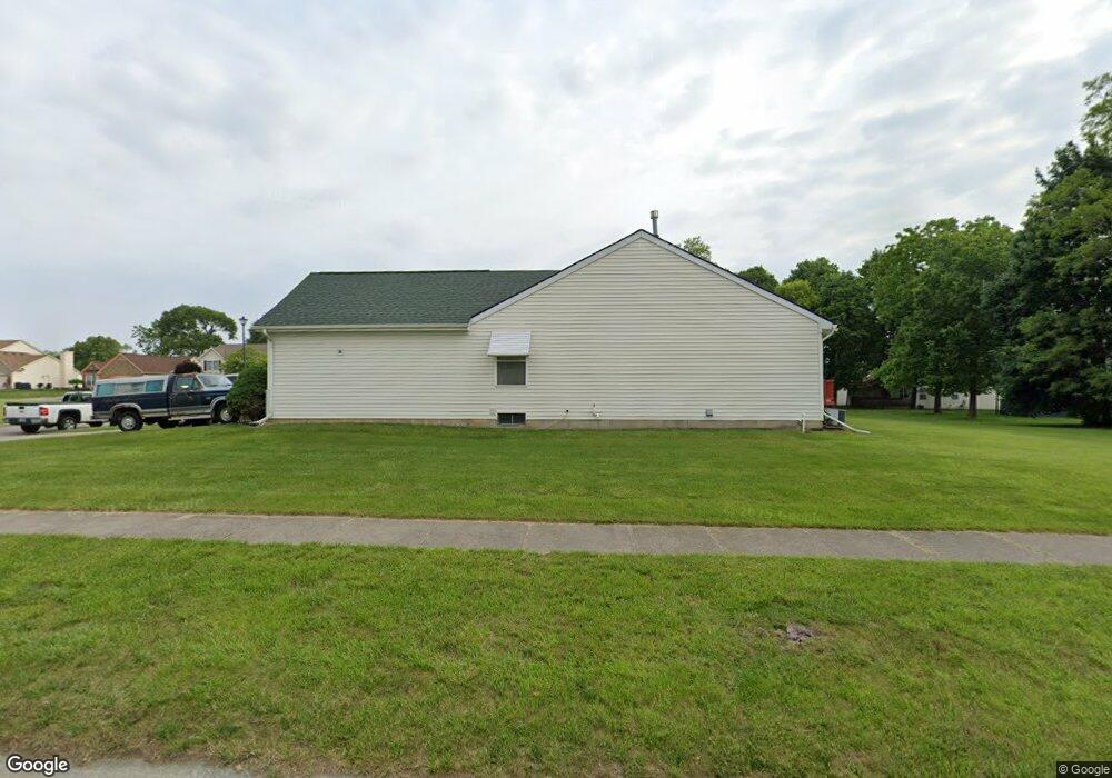
1502 Loyola Ln Flint, MI 48503
Downtown Flint NeighborhoodEstimated Value: $138,000 - $207,000
3
Beds
2
Baths
1,400
Sq Ft
$124/Sq Ft
Est. Value
About This Home
This home is located at 1502 Loyola Ln, Flint, MI 48503 and is currently estimated at $173,887, approximately $124 per square foot. 1502 Loyola Ln is a home located in Genesee County with nearby schools including Doyle/Ryder School, Flint Cultural Center Academy, and WAY Academy of Flint.
Ownership History
Date
Name
Owned For
Owner Type
Purchase Details
Closed on
Dec 28, 2015
Sold by
Miscisin Samuel A
Bought by
Miscisin Samuel A
Current Estimated Value
Purchase Details
Closed on
Dec 29, 2000
Sold by
Charter Oak Homes Inc
Bought by
Miscisin Samuel A
Home Financials for this Owner
Home Financials are based on the most recent Mortgage that was taken out on this home.
Original Mortgage
$80,000
Interest Rate
7.1%
Create a Home Valuation Report for This Property
The Home Valuation Report is an in-depth analysis detailing your home's value as well as a comparison with similar homes in the area
Home Values in the Area
Average Home Value in this Area
Purchase History
| Date | Buyer | Sale Price | Title Company |
|---|---|---|---|
| Miscisin Samuel A | -- | Attorney | |
| Miscisin Samuel A | $150,496 | Lawyers Title |
Source: Public Records
Mortgage History
| Date | Status | Borrower | Loan Amount |
|---|---|---|---|
| Previous Owner | Miscisin Samuel A | $80,000 |
Source: Public Records
Tax History Compared to Growth
Tax History
| Year | Tax Paid | Tax Assessment Tax Assessment Total Assessment is a certain percentage of the fair market value that is determined by local assessors to be the total taxable value of land and additions on the property. | Land | Improvement |
|---|---|---|---|---|
| 2025 | $1,613 | $69,800 | $0 | $0 |
| 2024 | $1,440 | $67,900 | $0 | $0 |
| 2023 | $1,401 | $63,900 | $0 | $0 |
| 2022 | $0 | $54,100 | $0 | $0 |
| 2021 | $1,471 | $47,600 | $0 | $0 |
| 2020 | $1,305 | $41,000 | $0 | $0 |
| 2019 | $1,298 | $31,300 | $0 | $0 |
| 2018 | $1,305 | $31,100 | $0 | $0 |
| 2017 | $1,264 | $0 | $0 | $0 |
| 2016 | $1,254 | $0 | $0 | $0 |
| 2015 | -- | $0 | $0 | $0 |
| 2014 | -- | $0 | $0 | $0 |
| 2012 | -- | $39,000 | $0 | $0 |
Source: Public Records
Map
Nearby Homes
- 805 Columbia Dr
- 1706 Wilberforce Cir
- 1303 Root St
- 562 E Witherbee St
- 329 E Wood St
- 235 Page St
- 1016 Garland St
- 217 W 7th Ave
- 1273 Broadway Blvd
- 1606 Garland St
- 1215 Bennett Ave
- 1379 Washington Ave
- 416 W 2nd Ave Unit 4
- 1445 Kearsley Park Kearsley Park
- 407 W 2nd Ave
- 620 E 2nd St
- 325 W Paterson St
- 607 East St
- 317 W Witherbee St
- 218 E Jackson Ave