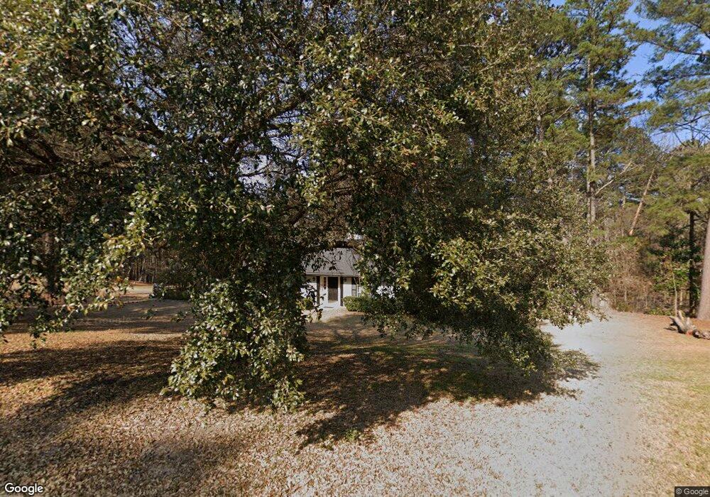
1502 Madera St Ruston, LA 71270
Estimated Value: $222,000 - $280,000
4
Beds
2
Baths
2,155
Sq Ft
$118/Sq Ft
Est. Value
About This Home
This home is located at 1502 Madera St, Ruston, LA 71270 and is currently estimated at $255,296, approximately $118 per square foot. 1502 Madera St is a home located in Lincoln Parish with nearby schools including Glen View Elementary School, Cypress Springs Elementary School, and Ruston Junior High School.
Ownership History
Date
Name
Owned For
Owner Type
Purchase Details
Closed on
Mar 1, 2019
Sold by
Payton Jeffrey S and Payton Michael L
Bought by
Payton-Hill Julie
Current Estimated Value
Home Financials for this Owner
Home Financials are based on the most recent Mortgage that was taken out on this home.
Original Mortgage
$70,000
Outstanding Balance
$60,913
Interest Rate
4.4%
Mortgage Type
New Conventional
Estimated Equity
$194,383
Purchase Details
Closed on
Oct 29, 2010
Sold by
Edwards Bennett Stanley and Bennett Lisa Carol Payton
Bought by
Payton Barney L and Payton Harriet P
Purchase Details
Closed on
May 6, 2005
Sold by
Hamm Reynolds Thomas Anthony and Hamm Reynolds Patricia Kay
Bought by
Edwards Bennett Stanley and Bennett Lisa Carol Payton
Home Financials for this Owner
Home Financials are based on the most recent Mortgage that was taken out on this home.
Original Mortgage
$156,320
Interest Rate
6.06%
Mortgage Type
Purchase Money Mortgage
Create a Home Valuation Report for This Property
The Home Valuation Report is an in-depth analysis detailing your home's value as well as a comparison with similar homes in the area
Purchase History
| Date | Buyer | Sale Price | Title Company |
|---|---|---|---|
| Payton-Hill Julie | $120,000 | -- | |
| Payton Barney L | $169,500 | None Available | |
| Edwards Bennett Stanley | $156,000 | None Available |
Source: Public Records
Mortgage History
| Date | Status | Borrower | Loan Amount |
|---|---|---|---|
| Open | Payton-Hill Julie | $70,000 | |
| Previous Owner | Edwards Bennett Stanley | $156,320 |
Source: Public Records
Tax History
| Year | Tax Paid | Tax Assessment Tax Assessment Total Assessment is a certain percentage of the fair market value that is determined by local assessors to be the total taxable value of land and additions on the property. | Land | Improvement |
|---|---|---|---|---|
| 2025 | $1,920 | $22,490 | $2,905 | $19,585 |
| 2024 | $1,920 | $22,490 | $2,905 | $19,585 |
| 2023 | $1,796 | $20,208 | $3,150 | $17,058 |
| 2022 | $1,805 | $20,208 | $3,150 | $17,058 |
| 2021 | $1,671 | $20,208 | $3,150 | $17,058 |
| 2020 | $1,627 | $19,575 | $3,150 | $16,425 |
| 2019 | $1,589 | $19,575 | $3,150 | $16,425 |
| 2018 | $1,523 | $19,273 | $3,150 | $16,123 |
| 2017 | $1,526 | $19,273 | $3,150 | $16,123 |
| 2016 | $1,520 | $0 | $0 | $0 |
| 2015 | $1,459 | $16,987 | $2,880 | $14,107 |
| 2013 | $1,482 | $16,987 | $2,880 | $14,107 |
Source: Public Records
Map
Nearby Homes
- 1804 Corley St
- 1904 Mimosa Cir
- S Service Rd
- 1322 Cooktown Rd
- 1507 Dauphine Dr
- 1201 Gains Ave
- Lot 10 King Estate Ln
- 1112 Wedgewood Dr
- 1508 Bonaparte Dr
- 000 W Alabama Ave
- 1111 Rita Ln
- 904 Sherwood Dr
- 1113 Lisa Ln
- 2111 W Kentucky Ave
- 902 Arnold St
- 901 Pennington Ln
- 1114 Abby Ln
- Kavanaugh Rd
- 0 Gordon Dr
- 516 Glendale Dr
Your Personal Tour Guide
Ask me questions while you tour the home.