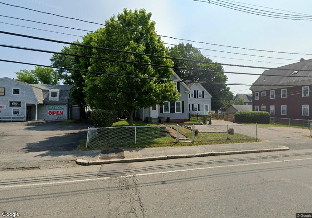
1502 Main St Brockton, MA 02301
Campello NeighborhoodEstimated Value: $533,665 - $663,000
2
Beds
2
Baths
1,223
Sq Ft
$503/Sq Ft
Est. Value
About This Home
This home is located at 1502 Main St, Brockton, MA 02301 and is currently estimated at $614,666, approximately $502 per square foot. 1502 Main St is a home located in Plymouth County with nearby schools including Gilmore Elementary School, Davis K-8 School, and John F. Kennedy Elementary School.
Ownership History
Date
Name
Owned For
Owner Type
Purchase Details
Closed on
Jul 31, 2000
Sold by
Wilcox Douglas M and Wilcox Michelle
Bought by
Clakr Christopher L
Current Estimated Value
Purchase Details
Closed on
Jul 31, 1995
Sold by
Jec Rt
Bought by
Wilcox Douglas M
Create a Home Valuation Report for This Property
The Home Valuation Report is an in-depth analysis detailing your home's value as well as a comparison with similar homes in the area
Home Values in the Area
Average Home Value in this Area
Purchase History
| Date | Buyer | Sale Price | Title Company |
|---|---|---|---|
| Clakr Christopher L | $96,000 | -- | |
| Wilcox Douglas M | $59,900 | -- |
Source: Public Records
Mortgage History
| Date | Status | Borrower | Loan Amount |
|---|---|---|---|
| Open | Wilcox Douglas M | $55,000 | |
| Open | Wilcox Douglas M | $142,000 | |
| Closed | Wilcox Douglas M | $127,000 |
Source: Public Records
Tax History
| Year | Tax Paid | Tax Assessment Tax Assessment Total Assessment is a certain percentage of the fair market value that is determined by local assessors to be the total taxable value of land and additions on the property. | Land | Improvement |
|---|---|---|---|---|
| 2025 | $6,357 | $524,900 | $134,100 | $390,800 |
| 2024 | $6,116 | $508,800 | $134,100 | $374,700 |
| 2023 | $5,232 | $403,100 | $100,800 | $302,300 |
| 2022 | $5,359 | $383,600 | $91,400 | $292,200 |
| 2021 | $4,721 | $325,600 | $75,400 | $250,200 |
| 2020 | $3,983 | $262,900 | $71,300 | $191,600 |
| 2019 | $4,145 | $266,700 | $68,500 | $198,200 |
| 2018 | $3,705 | $230,700 | $68,500 | $162,200 |
| 2017 | $3,209 | $199,300 | $68,500 | $130,800 |
| 2016 | $3,248 | $187,100 | $66,400 | $120,700 |
| 2015 | $2,508 | $138,200 | $66,400 | $71,800 |
| 2014 | $2,500 | $137,900 | $66,400 | $71,500 |
Source: Public Records
Map
Nearby Homes
- 35 Longworth Ave Unit 25
- 25 Longworth Ave Unit 4
- 15 Longworth Ave Unit 226
- 9 Longworth Ave Unit 135
- 34 South St
- 326 Copeland St
- 223 Clinton St Unit 16
- 47 Southworth St
- 115 Market St
- 23 E Chestnut St
- 41 Riverview St
- 60 Tremont St
- 25 Tremont St
- 65 Tremont St
- 12 Finny's Way
- 111 Riverview St
- 100 Concord St
- 103 Clinton St
- 936 Warren Ave
- 82 Carroll Ave
- 1 Watson St
- 1508 Main St
- 1490 Main St
- 1512 Main St
- 13 Watson St
- 16 Holmes St
- 10 Watson St
- 19 Watson St
- 11 Holmes St
- 11 Holmes St Unit 3
- 11 Holmes St Unit 2
- 11 Holmes St Unit 1
- 17 Holmes St
- 24 Holmes St
- 15 Holmes St
- 12 Watson St Unit 3
- 12 Watson St Unit 2
- 12 Watson St Unit 1
- 12 Watson St Unit 2,12
- 12 Watson St
Your Personal Tour Guide
Ask me questions while you tour the home.