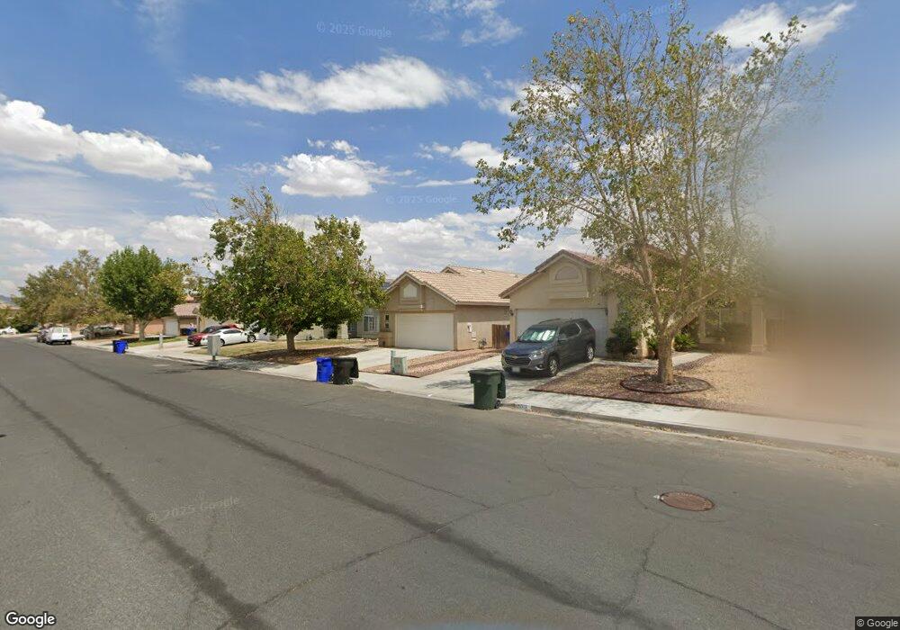
15021 Brown Ln Victorville, CA 92394
Estimated Value: $368,696 - $384,000
3
Beds
2
Baths
1,277
Sq Ft
$295/Sq Ft
Est. Value
About This Home
This home is located at 15021 Brown Ln, Victorville, CA 92394 and is currently estimated at $376,174, approximately $294 per square foot. 15021 Brown Ln is a home located in San Bernardino County with nearby schools including Brentwood Elementary School, Village Elementary School, and Challenger School Of Sports And Fitness.
Ownership History
Date
Name
Owned For
Owner Type
Purchase Details
Closed on
Jun 11, 2024
Sold by
Walton Family 1997 Living Trust and Walton Jane M
Bought by
Walton Family 1997 Living Trust and Walton
Current Estimated Value
Purchase Details
Closed on
Dec 4, 1997
Sold by
Walton William B
Bought by
Walton William B and Walton Jane M
Purchase Details
Closed on
Jun 24, 1996
Sold by
Fn Development Company Alpha
Bought by
Walton William B and Walton Jane M
Home Financials for this Owner
Home Financials are based on the most recent Mortgage that was taken out on this home.
Original Mortgage
$53,100
Interest Rate
8.09%
Create a Home Valuation Report for This Property
The Home Valuation Report is an in-depth analysis detailing your home's value as well as a comparison with similar homes in the area
Home Values in the Area
Average Home Value in this Area
Purchase History
| Date | Buyer | Sale Price | Title Company |
|---|---|---|---|
| Walton Family 1997 Living Trust | -- | None Listed On Document | |
| Walton William B | -- | -- | |
| Walton William B | $76,000 | Continental Lawyers Title Co |
Source: Public Records
Mortgage History
| Date | Status | Borrower | Loan Amount |
|---|---|---|---|
| Previous Owner | Walton William B | $53,100 |
Source: Public Records
Tax History Compared to Growth
Tax History
| Year | Tax Paid | Tax Assessment Tax Assessment Total Assessment is a certain percentage of the fair market value that is determined by local assessors to be the total taxable value of land and additions on the property. | Land | Improvement |
|---|---|---|---|---|
| 2025 | $1,574 | $126,241 | $31,565 | $94,676 |
| 2024 | $1,574 | $123,766 | $30,946 | $92,820 |
| 2023 | $1,558 | $121,339 | $30,339 | $91,000 |
| 2022 | $1,531 | $118,960 | $29,744 | $89,216 |
| 2021 | $1,505 | $116,628 | $29,161 | $87,467 |
| 2020 | $1,479 | $115,432 | $28,862 | $86,570 |
| 2019 | $1,456 | $113,169 | $28,296 | $84,873 |
| 2018 | $1,546 | $110,950 | $27,741 | $83,209 |
| 2017 | $1,515 | $108,774 | $27,197 | $81,577 |
| 2016 | $1,487 | $106,641 | $26,664 | $79,977 |
| 2015 | $1,437 | $105,039 | $26,263 | $78,776 |
| 2014 | $1,546 | $102,982 | $25,749 | $77,233 |
Source: Public Records
Map
Nearby Homes
- 14993 Brown Ln
- 14115 Buckskin Ct
- 14304 Gray Fox Ln
- 14358 Jackrabbit Ln
- 14117 Gopher Canyon Rd
- 14416 Honeyhill St
- 14199 Estate Way
- 14049 Estate Way
- 14096 Estate Way
- 15115 Fresh Water Way
- 14780 Butterfly Ct
- 13986 Estate Way
- 15121 Sorrel Rd
- 13971 Clydesdale Run Ln
- 14470 Green River Rd
- 14582 Hidden Canyon Ln
- 14433 El Grande Way
- 14031 Horseshoe Way
- 14577 Crossing Trail
- 15255 Sunray Ct
- 15013 Brown Ln
- 15029 Brown Ln
- 15005 Brown Ln
- 15037 Brown Ln
- 14999 Brown Ln
- 15039 Brown Ln
- 15020 Brown Ln
- 15024 Salamander Ln
- 15028 Brown Ln
- 15034 Brown Ln
- 15012 Salamander Ln
- 15036 Salamander Ln
- 15045 Brown Ln
- 15002 Salamander Ln
- 15042 Brown Ln
- 15044 Salamander Ln
- 14194 Auburn Ct
- 14994 Salamander Ln
- 15052 Salamander Ln
- 14985 Brown Ln