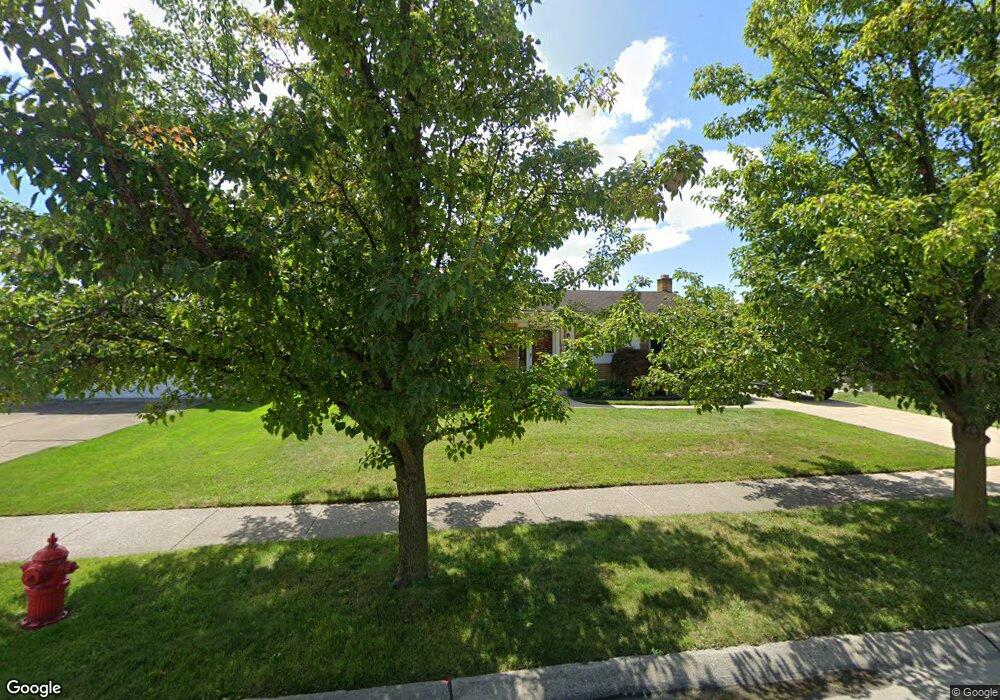
15025 Yorkshire St Southgate, MI 48195
Estimated Value: $246,000 - $274,000
3
Beds
2
Baths
1,372
Sq Ft
$189/Sq Ft
Est. Value
About This Home
This home is located at 15025 Yorkshire St, Southgate, MI 48195 and is currently estimated at $258,777, approximately $188 per square foot. 15025 Yorkshire St is a home located in Wayne County with nearby schools including Shelters Elementary School, Davidson Middle School, and Southgate Anderson High School.
Ownership History
Date
Name
Owned For
Owner Type
Purchase Details
Closed on
Mar 24, 2010
Sold by
Lewis Tammy and Newell Freda
Bought by
Lewis Tammy
Current Estimated Value
Purchase Details
Closed on
Sep 21, 2005
Sold by
Lewis Adrin Claud
Bought by
Lewis Adrin Claud
Purchase Details
Closed on
Jun 2, 2005
Sold by
Lewis Adrin Claud and Lewis Juanita V
Bought by
Lewis Adrin Claud
Purchase Details
Closed on
Apr 9, 2005
Sold by
Lewis Adrin Claud and Lewis Juanita V
Bought by
Lewis Adrin Claud
Create a Home Valuation Report for This Property
The Home Valuation Report is an in-depth analysis detailing your home's value as well as a comparison with similar homes in the area
Home Values in the Area
Average Home Value in this Area
Purchase History
| Date | Buyer | Sale Price | Title Company |
|---|---|---|---|
| Lewis Tammy | -- | None Available | |
| Lewis Adrin Claud | -- | None Available | |
| Lewis Adrin Claud | -- | None Available | |
| Lewis Adrin Claud | -- | -- |
Source: Public Records
Tax History Compared to Growth
Tax History
| Year | Tax Paid | Tax Assessment Tax Assessment Total Assessment is a certain percentage of the fair market value that is determined by local assessors to be the total taxable value of land and additions on the property. | Land | Improvement |
|---|---|---|---|---|
| 2025 | $2,983 | $117,300 | $0 | $0 |
| 2024 | $2,983 | $113,000 | $0 | $0 |
| 2023 | $2,856 | $104,300 | $0 | $0 |
| 2022 | $3,327 | $96,200 | $0 | $0 |
| 2021 | $3,235 | $85,400 | $0 | $0 |
| 2020 | $3,179 | $79,100 | $0 | $0 |
| 2019 | $3,137 | $75,800 | $0 | $0 |
| 2018 | $2,364 | $71,300 | $0 | $0 |
| 2017 | $1,463 | $67,500 | $0 | $0 |
| 2016 | $2,893 | $64,900 | $0 | $0 |
| 2015 | $5,172 | $55,100 | $0 | $0 |
| 2013 | $5,010 | $51,400 | $0 | $0 |
| 2012 | $2,019 | $49,200 | $5,700 | $43,500 |
Source: Public Records
Map
Nearby Homes
- 15048 Yorkshire St
- 12215 Manor Dr
- 15405 Wesley St
- 15455 Wesley St
- 12395 Timber Ct
- 12485 Timber Ct
- 12503 Timber Ct
- 12420 Churchill Ave
- 12200 Helen St
- 12450 Churchill Ave
- 12480 Churchill Ave
- 12510 Churchill Ave
- 12540 Churchill Ave
- 4241 Fordline Rd
- 12125 Helen St
- 12792 Elaine Dr
- 12720 Elaine Dr Unit 31
- ESSEX Plan at Woodland Ridge
- DUPONT Plan at Woodland Ridge
- 15308 Woodland Ridge Dr
- 15045 Yorkshire St
- 15024 Coventry Dr
- 14985 Yorkshire St
- 15006 Coventry Dr
- 15044 Coventry Dr
- 3084 Shery Ln
- 14982 Coventry Dr
- 15026 Yorkshire St
- 14963 Yorkshire St
- 15002 Yorkshire St
- 14984 Yorkshire St
- 14964 Coventry Dr
- 12188 Buckingham St
- 15062 Yorkshire St
- 12202 Buckingham St
- 12178 Buckingham St
- 14943 Yorkshire St
- 14962 Yorkshire St
- 12234 Buckingham St
- 12166 Buckingham St