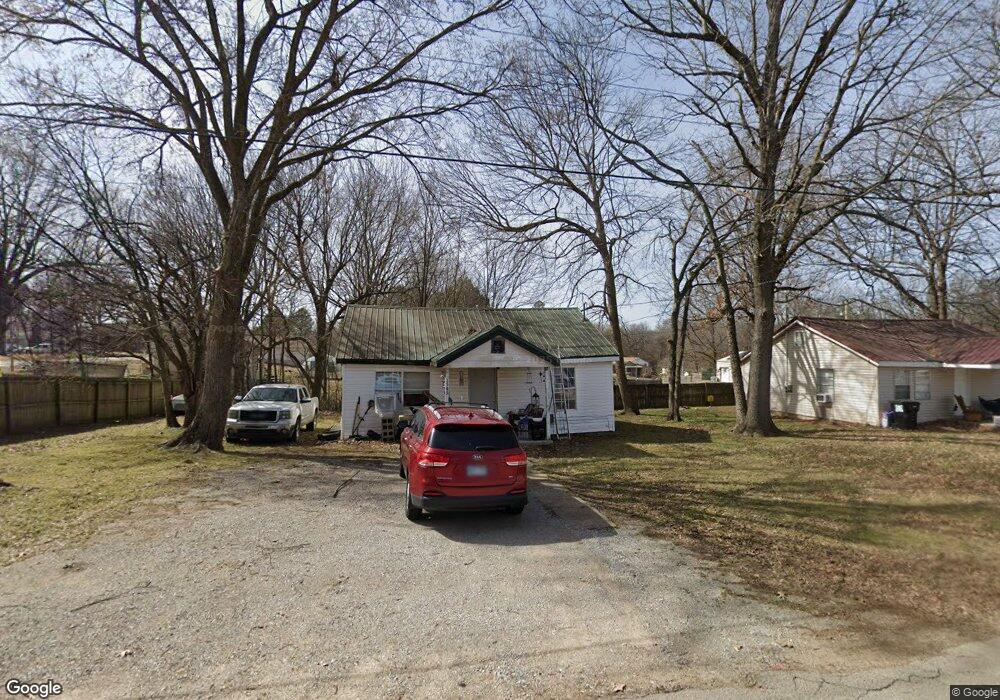
1503 Carter St Pocahontas, AR 72455
Estimated Value: $46,105 - $74,000
2
Beds
1
Bath
780
Sq Ft
$76/Sq Ft
Est. Value
About This Home
This home is located at 1503 Carter St, Pocahontas, AR 72455 and is currently estimated at $59,368, approximately $76 per square foot. 1503 Carter St is a home located in Randolph County with nearby schools including Pocahontas Elementary School, M.D. Williams Middle School, and Pocahontas Junior High School.
Ownership History
Date
Name
Owned For
Owner Type
Purchase Details
Closed on
Jun 29, 2021
Sold by
Parsons Douglas and Parsons Brenda
Bought by
Ford And Smith Rentals Llc
Current Estimated Value
Purchase Details
Closed on
Mar 25, 1999
Bought by
Vankirk To Parsons
Purchase Details
Closed on
Jan 1, 1989
Bought by
Randolph Frank and Randolph Sharon
Purchase Details
Closed on
Jan 1, 1988
Bought by
Ring To Randolph
Purchase Details
Closed on
Jan 1, 1987
Bought by
Walls To Ring
Purchase Details
Closed on
Jan 1, 1985
Bought by
Jones To Jones
Create a Home Valuation Report for This Property
The Home Valuation Report is an in-depth analysis detailing your home's value as well as a comparison with similar homes in the area
Home Values in the Area
Average Home Value in this Area
Purchase History
| Date | Buyer | Sale Price | Title Company |
|---|---|---|---|
| Ford And Smith Rentals Llc | -- | None Available | |
| Ford And Smith Llc | -- | None Available | |
| Vankirk To Parsons | $15,000 | -- | |
| Sanders To Vankirk | $17,000 | -- | |
| Randolph Frank | -- | -- | |
| Ring To Randolph | -- | -- | |
| Walls To Ring | -- | -- | |
| Jones To Walls | -- | -- | |
| Jones To Jones | -- | -- |
Source: Public Records
Tax History
| Year | Tax Paid | Tax Assessment Tax Assessment Total Assessment is a certain percentage of the fair market value that is determined by local assessors to be the total taxable value of land and additions on the property. | Land | Improvement |
|---|---|---|---|---|
| 2025 | $245 | $6,050 | $1,000 | $5,050 |
| 2024 | $239 | $6,050 | $1,000 | $5,050 |
| 2023 | $222 | $6,050 | $1,000 | $5,050 |
| 2022 | $205 | $6,050 | $1,000 | $5,050 |
| 2021 | $188 | $6,050 | $1,000 | $5,050 |
| 2020 | $171 | $4,220 | $1,000 | $3,220 |
| 2019 | $171 | $4,220 | $1,000 | $3,220 |
| 2018 | $171 | $4,220 | $1,000 | $3,220 |
| 2017 | $156 | $4,220 | $1,000 | $3,220 |
| 2016 | $156 | $4,220 | $1,000 | $3,220 |
| 2015 | $156 | $4,220 | $1,000 | $3,220 |
| 2014 | $148 | $4,220 | $1,000 | $3,220 |
Source: Public Records
Map
Nearby Homes
- 415 W Pine St
- 104 Olive St
- 102 Olive St
- 1302 Dunn St
- 613 W Pine St
- Haynes St
- 607 Schoonover St
- 801 Dalton St
- 909 N Van Bibber St
- 800 Pauline St Unit 1 of 31
- 601 W Black St
- TBD U S Highway 67
- 1903 U S Highway 67
- tbd U S Highway 62
- 513 N Marr St
- 501 N Marr St
- 702 Burrow St
- 113 W Pyburn St
- 1108 Wilson Dr
- 214 N Marr St
Your Personal Tour Guide
Ask me questions while you tour the home.