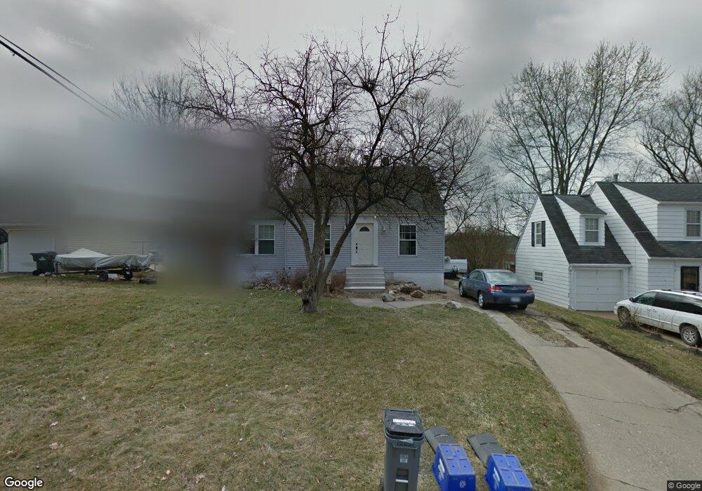
1503 Elmhurst Dr NE Cedar Rapids, IA 52402
Mound View NeighborhoodEstimated Value: $157,000 - $160,288
3
Beds
1
Bath
1,238
Sq Ft
$128/Sq Ft
Est. Value
About This Home
This home is located at 1503 Elmhurst Dr NE, Cedar Rapids, IA 52402 and is currently estimated at $158,072, approximately $127 per square foot. 1503 Elmhurst Dr NE is a home located in Linn County with nearby schools including Franklin Middle School, George Washington High School, and Isaac Newton Christian Academy.
Ownership History
Date
Name
Owned For
Owner Type
Purchase Details
Closed on
Aug 24, 2006
Sold by
Wells Fargo Bank Na
Bought by
Crosby John P
Current Estimated Value
Home Financials for this Owner
Home Financials are based on the most recent Mortgage that was taken out on this home.
Original Mortgage
$87,000
Outstanding Balance
$52,290
Interest Rate
6.78%
Mortgage Type
Unknown
Estimated Equity
$105,782
Purchase Details
Closed on
May 23, 2006
Sold by
Kies Kay and Kies Kay A
Bought by
Wells Fargo Bank Na and Option One Mortgage Loan Trust 2004-2 As
Purchase Details
Closed on
Jan 2, 2004
Sold by
Treacy Jamie and Borcherding Darryl
Bought by
Kies Kay A
Home Financials for this Owner
Home Financials are based on the most recent Mortgage that was taken out on this home.
Original Mortgage
$101,555
Interest Rate
6.6%
Mortgage Type
Unknown
Create a Home Valuation Report for This Property
The Home Valuation Report is an in-depth analysis detailing your home's value as well as a comparison with similar homes in the area
Home Values in the Area
Average Home Value in this Area
Purchase History
| Date | Buyer | Sale Price | Title Company |
|---|---|---|---|
| Crosby John P | $86,500 | None Available | |
| Wells Fargo Bank Na | $97,750 | None Available | |
| Kies Kay A | $106,500 | -- |
Source: Public Records
Mortgage History
| Date | Status | Borrower | Loan Amount |
|---|---|---|---|
| Open | Crosby John P | $87,000 | |
| Previous Owner | Kies Kay A | $101,555 |
Source: Public Records
Tax History Compared to Growth
Tax History
| Year | Tax Paid | Tax Assessment Tax Assessment Total Assessment is a certain percentage of the fair market value that is determined by local assessors to be the total taxable value of land and additions on the property. | Land | Improvement |
|---|---|---|---|---|
| 2025 | $2,170 | $148,800 | $28,600 | $120,200 |
| 2024 | $2,572 | $128,600 | $26,000 | $102,600 |
| 2023 | $2,572 | $133,100 | $26,000 | $107,100 |
| 2022 | $2,340 | $130,800 | $26,000 | $104,800 |
| 2021 | $2,228 | $121,900 | $26,000 | $95,900 |
| 2020 | $2,228 | $109,600 | $20,800 | $88,800 |
| 2019 | $2,178 | $109,600 | $20,800 | $88,800 |
| 2018 | $2,016 | $109,600 | $20,800 | $88,800 |
| 2017 | $2,028 | $101,600 | $20,800 | $80,800 |
| 2016 | $2,197 | $103,400 | $22,100 | $81,300 |
| 2015 | $2,155 | $101,288 | $26,024 | $75,264 |
| 2014 | $1,970 | $105,992 | $26,024 | $79,968 |
| 2013 | $2,022 | $105,992 | $26,024 | $79,968 |
Source: Public Records
Map
Nearby Homes
- 2935 Wildwood Ct NE
- 2944 Oakland Rd NE
- 3028 Center Point Rd NE Unit 202
- 3050 Center Point Rd NE
- 1115 27th St NE
- 1522 J Ave NE
- 1047 27th St NE
- 1721 34th St NE
- 2962 Circle Dr NE
- 1839 K Ave NE
- 1046 12th St NE
- 3008 Circle Hill Ct NE
- 1051 35th St NE
- 1114 35th St NE
- 2000 Sierra Cir NE
- 3630 Oakland Rd NE
- 2019 G Ave NE
- 2006 Sierra Cir NE
- 2012 Sierra Cir NE
- 2018 Sierra Cir NE
- 1507 Elmhurst Dr NE
- 1515 Elmhurst Dr NE
- 1645 Wildwood Dr NE
- 1637 Wildwood Dr NE
- 1633 Wildwood Dr NE
- 1519 Elmhurst Dr NE
- 1629 Wildwood Dr NE
- 1627 Wildwood Dr NE
- 1500 Elmhurst Dr NE
- 1523 Elmhurst Dr NE
- 1506 Elmhurst Dr NE
- 1412 Elmhurst Dr NE
- 1510 Elmhurst Dr NE
- 1623 Wildwood Dr NE
- 1400 Elmhurst Dr NE
- 1518 Elmhurst Dr NE
- 1527 Elmhurst Dr NE
- 1524 Elmhurst Dr NE
- 1398 Elmhurst Dr NE
- 1531 Elmhurst Dr NE