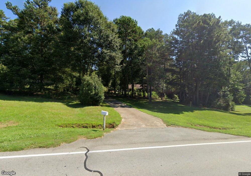
1503 Highway 17 S Royston, GA 30662
Estimated Value: $401,000 - $651,000
3
Beds
2
Baths
4,206
Sq Ft
$116/Sq Ft
Est. Value
About This Home
This home is located at 1503 Highway 17 S, Royston, GA 30662 and is currently estimated at $489,952, approximately $116 per square foot. 1503 Highway 17 S is a home with nearby schools including Hart County High School, Grace Ranch Academy, and Cornerstone Christian Academy.
Ownership History
Date
Name
Owned For
Owner Type
Purchase Details
Closed on
Dec 21, 2011
Bought by
Boleman Jeffery Neal
Current Estimated Value
Home Financials for this Owner
Home Financials are based on the most recent Mortgage that was taken out on this home.
Original Mortgage
$124,100
Outstanding Balance
$87,129
Interest Rate
4.07%
Mortgage Type
New Conventional
Estimated Equity
$402,823
Purchase Details
Closed on
Apr 1, 1970
Create a Home Valuation Report for This Property
The Home Valuation Report is an in-depth analysis detailing your home's value as well as a comparison with similar homes in the area
Home Values in the Area
Average Home Value in this Area
Purchase History
| Date | Buyer | Sale Price | Title Company |
|---|---|---|---|
| Boleman Jeffery Neal | $159,500 | -- | |
| -- | $3,000 | -- |
Source: Public Records
Mortgage History
| Date | Status | Borrower | Loan Amount |
|---|---|---|---|
| Open | Boleman Jeffery Neal | $124,100 |
Source: Public Records
Tax History Compared to Growth
Tax History
| Year | Tax Paid | Tax Assessment Tax Assessment Total Assessment is a certain percentage of the fair market value that is determined by local assessors to be the total taxable value of land and additions on the property. | Land | Improvement |
|---|---|---|---|---|
| 2024 | $2,361 | $154,855 | $33,728 | $121,127 |
| 2023 | $2,168 | $132,172 | $26,603 | $105,569 |
| 2022 | $1,983 | $121,114 | $26,079 | $95,035 |
| 2021 | $1,814 | $99,804 | $17,890 | $81,914 |
| 2020 | $1,809 | $95,423 | $17,410 | $78,013 |
| 2019 | $1,774 | $92,761 | $17,410 | $75,351 |
| 2018 | $1,626 | $84,229 | $17,410 | $66,819 |
| 2017 | $1,620 | $83,485 | $17,410 | $66,075 |
| 2016 | $1,593 | $79,663 | $12,976 | $66,687 |
| 2015 | $1,565 | $82,388 | $16,176 | $66,211 |
| 2014 | $1,462 | $75,588 | $10,771 | $64,818 |
| 2013 | -- | $76,478 | $10,770 | $65,708 |
Source: Public Records
Map
Nearby Homes
- 233 Duncan Rd
- 406 Abc Farm Rd
- 384 Freedom Church Rd
- 40 Burch St
- 2695 Wildcat Bridge Rd
- 2246 Wildcat Bridge Rd
- 256 Adams Place Rd
- 464 Church St
- 527 Daniel St
- 1398 Vanna Rd
- 0 Wildcat Bridge Rd Unit 23872265
- 0 Wildcat Bridge Rd Unit 10544672
- 70 Bowers St
- 44 Bond St
- 00 Georgia 17
- 5.88 Royston Bypass
- 401 Georgia 17
- 231 Bowers St
- 121 Cook St
- 240 Bowers St
- 291 Parker Rd
- 1591 Highway 17 S
- 1591 Georgia 17
- 400 Parker Rd
- 442 Parker Rd
- 0 Country Ridge Dr Unit 8358633
- 0 Country Ridge Dr Unit LOT 10 7283437
- 0 Country Ridge Dr Unit Lot 10 8029573
- 0 Country Ridge Dr Unit 2918394
- 26 Country Ridge Dr
- 1659 Highway 17 S
- 1372 Highway 17 S
- 1372 Georgia 17
- 43 Country Ridge Dr
- 60 Country Ridge Dr
- 1360 Georgia 17
- 1360 Highway 17 S
- 100 Country Ridge Dr
- 168 Freedom Church Rd
- 105 Country Ridge Dr