15030 Skyview Ave Smithville, MO 64089
Estimated Value: $564,654 - $587,000
3
Beds
1
Bath
3,960
Sq Ft
$144/Sq Ft
Est. Value
About This Home
This home is located at 15030 Skyview Ave, Smithville, MO 64089 and is currently estimated at $572,218, approximately $144 per square foot. 15030 Skyview Ave is a home located in Platte County with nearby schools including Horizon Elementary School, Smithville Middle School, and Smithville High School.
Ownership History
Date
Name
Owned For
Owner Type
Purchase Details
Closed on
Jun 5, 2008
Sold by
Clites Steve K and Clites Sheryl L
Bought by
Wheeler Dustin D and Wheeler Shelley L
Current Estimated Value
Home Financials for this Owner
Home Financials are based on the most recent Mortgage that was taken out on this home.
Original Mortgage
$251,460
Outstanding Balance
$161,608
Interest Rate
6.08%
Mortgage Type
New Conventional
Estimated Equity
$410,610
Create a Home Valuation Report for This Property
The Home Valuation Report is an in-depth analysis detailing your home's value as well as a comparison with similar homes in the area
Home Values in the Area
Average Home Value in this Area
Purchase History
| Date | Buyer | Sale Price | Title Company |
|---|---|---|---|
| Wheeler Dustin D | -- | None Available |
Source: Public Records
Mortgage History
| Date | Status | Borrower | Loan Amount |
|---|---|---|---|
| Open | Wheeler Dustin D | $251,460 |
Source: Public Records
Tax History Compared to Growth
Tax History
| Year | Tax Paid | Tax Assessment Tax Assessment Total Assessment is a certain percentage of the fair market value that is determined by local assessors to be the total taxable value of land and additions on the property. | Land | Improvement |
|---|---|---|---|---|
| 2024 | $2,119 | $31,084 | $3,158 | $27,926 |
| 2023 | $2,119 | $31,084 | $3,158 | $27,926 |
| 2022 | $2,190 | $31,084 | $3,158 | $27,926 |
| 2021 | $2,202 | $31,084 | $3,158 | $27,926 |
| 2020 | $2,235 | $31,353 | $3,427 | $27,926 |
| 2019 | $2,235 | $31,353 | $3,427 | $27,926 |
| 2018 | $2,277 | $31,353 | $3,427 | $27,926 |
| 2017 | $2,286 | $31,353 | $3,427 | $27,926 |
| 2016 | $2,020 | $31,353 | $3,427 | $27,926 |
| 2015 | $2,010 | $31,353 | $3,427 | $27,926 |
| 2013 | -- | $31,325 | $0 | $0 |
Source: Public Records
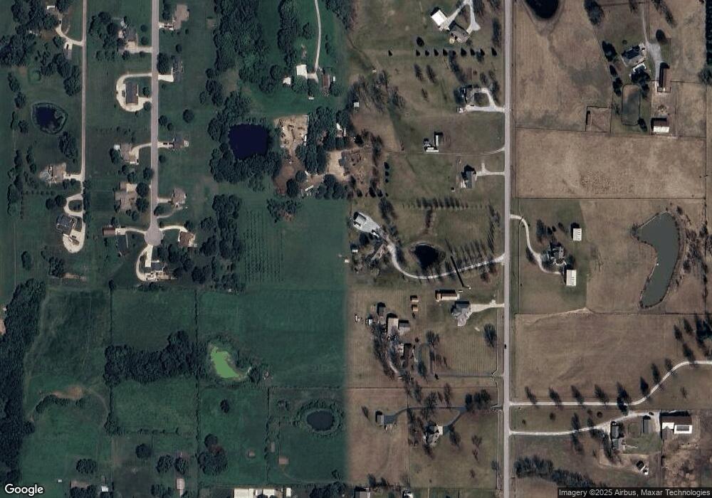
Map
Nearby Homes
- 707 Ridge Dr
- 3910 Carter Dr
- 5500 W Gale Rd
- 6645 NW State Route 92
- 14005 Supreme Ct
- 205 Double Tree Ln
- 104 S Prairie Rose Cir
- 16695 B Hwy
- 8422 Hoover Rd
- 4 State Route 92
- 169 County Road F
- 3 State Route 92
- 14816 Ashmont Ln
- 14620 Shamrock Way
- 0 169 & Commercial Ave N A Unit HMS2563488
- 1 Acre Lot Stonebridge Ln
- 0 NW 136 St
- Lots 3-7 Stonebridge Ln
- 0 Smith Rd
- 709 Ridge Dr
- 14960 Skyview Ave
- 15090 Skyview Ave
- 15025 Lakeport Ln
- 15055 Lakeport Ln
- 4665 NW State Route 92
- 15085 Lakeport Ln
- 14900 Skyview Ave
- 15010 Lakeport Ln
- 15140 Skyview Ave
- 14965 Skyview Ave
- 4455 NW State Route 92
- 15020 Lakeport Ln
- 15145 Lakeport Ln
- 15050 Lakeport Ln
- 15080 Lakeport Ln
- 0 92 Hwy Unit 2096866
- 4700 NW State Route 92
- 4580 W Gale Rd
- 4580 W Gale Rd
- 15130 Lakeport Ln