1504 Birchwood Dr Red Wing, MN 55066
Estimated Value: $216,000 - $239,000
3
Beds
2
Baths
960
Sq Ft
$241/Sq Ft
Est. Value
About This Home
This home is located at 1504 Birchwood Dr, Red Wing, MN 55066 and is currently estimated at $231,554, approximately $241 per square foot. 1504 Birchwood Dr is a home located in Goodhue County with nearby schools including Sunnyside Elementary School, Burnside Elementary School, and Twin Bluff Middle School.
Ownership History
Date
Name
Owned For
Owner Type
Purchase Details
Closed on
Aug 19, 2015
Sold by
Wells Fargo Bank Na
Bought by
Bodin Brooke A and Bodin Robert F
Current Estimated Value
Purchase Details
Closed on
Jul 20, 2011
Sold by
Hoeft Brian J and Hoeft Rachel C
Bought by
Hubble Charles and Hubble Griffith Jessia
Purchase Details
Closed on
Dec 10, 2004
Sold by
Short Thomas J and Wolf Jessica C
Bought by
Hoeft Brian and Kehren Rachel C
Purchase Details
Closed on
May 15, 2002
Sold by
Estabrooks Kelly B and Estabrooks Kimberly A
Bought by
Short Thomas J
Purchase Details
Closed on
Jan 28, 1997
Sold by
Estabrooks Ronald B
Bought by
Estabrooks Kelly B
Create a Home Valuation Report for This Property
The Home Valuation Report is an in-depth analysis detailing your home's value as well as a comparison with similar homes in the area
Home Values in the Area
Average Home Value in this Area
Purchase History
| Date | Buyer | Sale Price | Title Company |
|---|---|---|---|
| Bodin Brooke A | $85,000 | Attorney | |
| Hubble Charles | $142,925 | -- | |
| Hoeft Brian | $157,000 | -- | |
| Short Thomas J | $135,000 | -- | |
| Estabrooks Kelly B | $95,000 | -- |
Source: Public Records
Tax History Compared to Growth
Tax History
| Year | Tax Paid | Tax Assessment Tax Assessment Total Assessment is a certain percentage of the fair market value that is determined by local assessors to be the total taxable value of land and additions on the property. | Land | Improvement |
|---|---|---|---|---|
| 2025 | $2,949 | $220,000 | $69,200 | $150,800 |
| 2024 | $2,949 | $217,700 | $69,200 | $148,500 |
| 2023 | $1,450 | $207,300 | $69,000 | $138,300 |
| 2022 | $2,242 | $192,200 | $55,000 | $137,200 |
| 2021 | $2,106 | $168,700 | $55,000 | $113,700 |
| 2020 | $2,112 | $161,600 | $55,000 | $106,600 |
| 2019 | $2,116 | $152,700 | $55,000 | $97,700 |
| 2018 | $1,716 | $154,500 | $53,100 | $101,400 |
| 2017 | $1,678 | $138,300 | $53,100 | $85,200 |
| 2016 | $1,568 | $137,100 | $53,100 | $84,000 |
| 2015 | $1,512 | $134,900 | $53,100 | $81,800 |
| 2014 | -- | $130,200 | $53,100 | $77,100 |
Source: Public Records
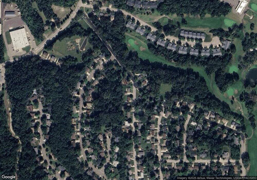
Map
Nearby Homes
- 1632 Spruce Dr
- 1733 W 6th St
- 528 Buchanan St
- 1224 Tee Up Ln
- 1706 Siewert St
- 1728 W 6th St
- 1505 Hillside Dr
- 1715 W 5th St
- 504 Buchanan St Unit 506
- 1978 Neal St
- 425 Minnesota St
- 1164 Hawthorn St
- 319 Buchanan St
- 314 Washington St
- 1606 Reichert Ave
- 1838 Spruce Dr
- 1062 Putnam Ave
- 1029 Putnam Ave
- 1846 Twin Bluff Rd
- 1012 West Ave
- 1516 Birchwood Dr
- 1605 W Maple Ave
- 1525 W Maple Ave
- 1524 Birchwood Dr
- 1538 W Maple Ave
- 1530 W Maple Ave
- 1520 W Maple Ave
- 1534 Birchwood Dr
- 1515 W Maple Ave
- 1529 Birchwood Dr
- 1515 Woodland Dr
- 1525 Woodland Dr
- 1539 Birchwood Dr
- 1542 Birchwood Dr
- 1547 Woodland Dr
- 1503 W Maple Ave
- 1503 1503 Maple Ave W
- 1516 Poplar Dr
- 1555 Woodland Dr
- 1545 Birchwood Dr