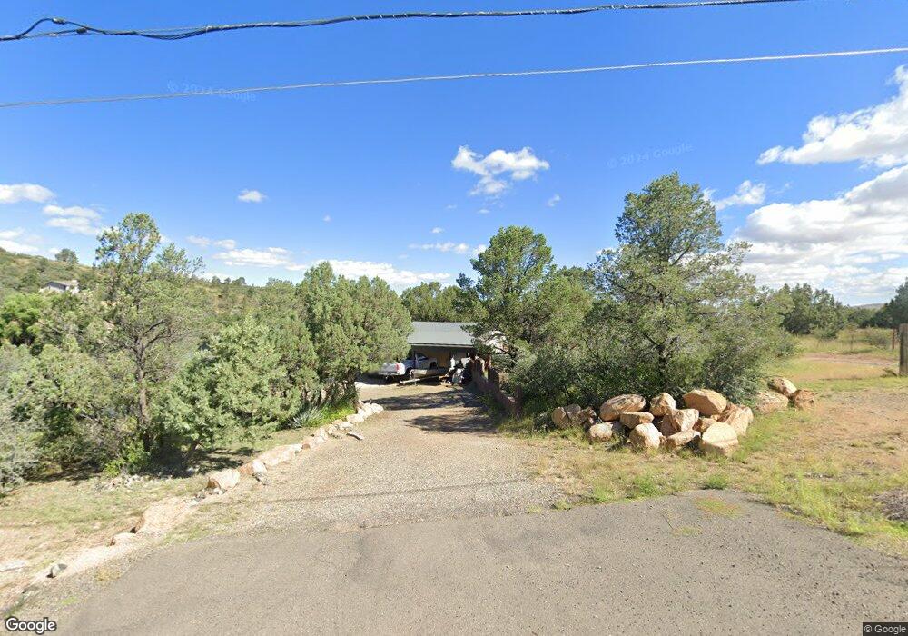
1504 E Central Trace Ln Prescott, AZ 86303
Estimated Value: $412,000 - $518,000
Studio
--
Bath
1,649
Sq Ft
$271/Sq Ft
Est. Value
About This Home
This home is located at 1504 E Central Trace Ln, Prescott, AZ 86303 and is currently estimated at $446,346, approximately $270 per square foot. 1504 E Central Trace Ln is a home located in Yavapai County with nearby schools including Taylor Hicks School, Granite Mountain Middle School, and Prescott Mile High Middle School.
Ownership History
Date
Name
Owned For
Owner Type
Purchase Details
Closed on
Oct 18, 2025
Sold by
Crocker Diane Patrice
Bought by
Crocker Jerry Joshua
Current Estimated Value
Purchase Details
Closed on
Oct 28, 2008
Sold by
Hollowell Peter J
Bought by
Crocker Diane Patrice
Home Financials for this Owner
Home Financials are based on the most recent Mortgage that was taken out on this home.
Original Mortgage
$104,619
Interest Rate
5.49%
Mortgage Type
FHA
Create a Home Valuation Report for This Property
The Home Valuation Report is an in-depth analysis detailing your home's value as well as a comparison with similar homes in the area
Purchase History
| Date | Buyer | Sale Price | Title Company |
|---|---|---|---|
| Crocker Jerry Joshua | -- | None Listed On Document | |
| Crocker Diane Patrice | $106,000 | Pioneer Title Agency Inc |
Source: Public Records
Mortgage History
| Date | Status | Borrower | Loan Amount |
|---|---|---|---|
| Previous Owner | Crocker Diane Patrice | $104,619 |
Source: Public Records
Tax History
| Year | Tax Paid | Tax Assessment Tax Assessment Total Assessment is a certain percentage of the fair market value that is determined by local assessors to be the total taxable value of land and additions on the property. | Land | Improvement |
|---|---|---|---|---|
| 2026 | $1,771 | $39,541 | -- | -- |
| 2024 | $1,709 | $37,889 | -- | -- |
| 2023 | $1,709 | $31,267 | $0 | $0 |
| 2022 | $1,652 | $26,120 | $4,107 | $22,013 |
| 2021 | $1,699 | $25,972 | $4,152 | $21,820 |
| 2020 | $1,678 | $0 | $0 | $0 |
| 2019 | $1,646 | $0 | $0 | $0 |
| 2018 | $1,569 | $0 | $0 | $0 |
| 2017 | $1,502 | $0 | $0 | $0 |
| 2016 | $1,471 | $0 | $0 | $0 |
| 2015 | $1,417 | $0 | $0 | $0 |
| 2014 | $1,379 | $0 | $0 | $0 |
Source: Public Records
Map
Nearby Homes
- 1502 E Butterfield Rd
- 202 N Cactus Dr Unit 23
- 1288 Newport Ridge Dr
- 1252 Newport Ridge Dr
- 215 Rhonda Dr
- 1300 Newport Ridge Dr Unit 116
- 1300 Newport Ridge Dr
- 1230 Stetson Rd Unit 9
- 1205 Overstreet Dr
- 1336 Newport Ridge Dr Unit 113
- 300 Newport Dr
- 695 E Robinson Dr
- 455 Newport Dr
- 259 Looking Glass Dr Unit Lot8
- 251 Looking Glass Dr
- 247 Looking Glass Dr
- 303 Double d Dr
- 200 Echo Hills Cir
- 000 S Canyon Dr
- 231 Echo Hills Cir
- 1506 E Central Trace Ln
- 1505 E Central Trace Ln
- 1503 E Central Trace Ln
- 1509 E Butterfield Rd
- 1501 E Butterfield Rd
- 0 Butterfield Rd
- 1497 E Butterfield Rd
- 1508 E Butterfield Rd
- 1508 E Central Trace Ln
- 1506 E Butterfield Rd
- 1504 E Wells Fargo Rd
- 150 E Wells Fargo Rd
- 1510 E Butterfield Rd
- 1506 E Wells Fargo Rd
- 0 Wells Fargo Rd
- 1509 E Central Trace Ln
- 1504 E Butterfield Rd
- 1424 E Wells Fargo Rd
- 1508 E Wells Fargo Rd
- 1512 E Butterfield Rd
Your Personal Tour Guide
Ask me questions while you tour the home.