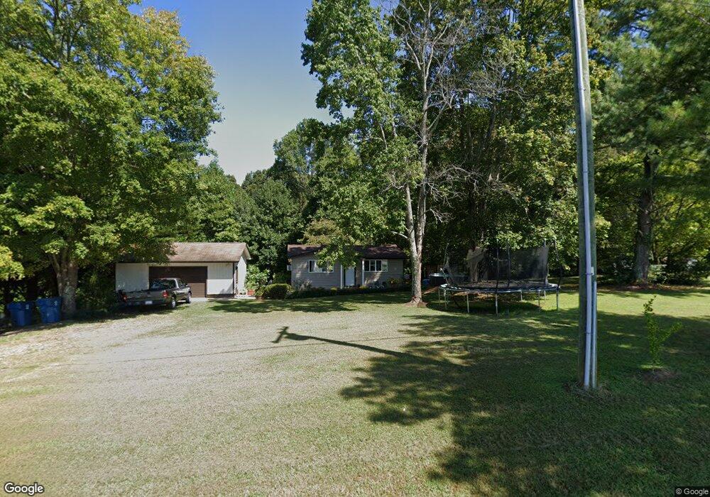
1504 Houston Mill Rd Conover, NC 28613
Estimated Value: $100,000 - $206,000
2
Beds
1
Bath
609
Sq Ft
$248/Sq Ft
Est. Value
About This Home
This home is located at 1504 Houston Mill Rd, Conover, NC 28613 and is currently estimated at $151,292, approximately $248 per square foot. 1504 Houston Mill Rd is a home located in Catawba County with nearby schools including Lyle Creek Elementary School, River Bend Middle School, and Bunker Hill High School.
Ownership History
Date
Name
Owned For
Owner Type
Purchase Details
Closed on
Sep 12, 2023
Sold by
Story Brian S
Bought by
Brock Darlene
Current Estimated Value
Home Financials for this Owner
Home Financials are based on the most recent Mortgage that was taken out on this home.
Original Mortgage
$38,400
Outstanding Balance
$34,688
Interest Rate
6.34%
Mortgage Type
New Conventional
Estimated Equity
$116,604
Purchase Details
Closed on
Aug 6, 2001
Create a Home Valuation Report for This Property
The Home Valuation Report is an in-depth analysis detailing your home's value as well as a comparison with similar homes in the area
Home Values in the Area
Average Home Value in this Area
Purchase History
| Date | Buyer | Sale Price | Title Company |
|---|---|---|---|
| Brock Darlene | $55,000 | None Listed On Document | |
| Brock Darlene | $55,000 | None Listed On Document | |
| -- | $55,000 | -- |
Source: Public Records
Mortgage History
| Date | Status | Borrower | Loan Amount |
|---|---|---|---|
| Open | Brock Darlene | $38,400 | |
| Closed | Brock Darlene | $38,400 |
Source: Public Records
Tax History
| Year | Tax Paid | Tax Assessment Tax Assessment Total Assessment is a certain percentage of the fair market value that is determined by local assessors to be the total taxable value of land and additions on the property. | Land | Improvement |
|---|---|---|---|---|
| 2025 | $583 | $111,500 | $8,900 | $102,600 |
| 2024 | $583 | $111,500 | $8,900 | $102,600 |
| 2023 | $560 | $59,100 | $8,900 | $50,200 |
| 2022 | $411 | $59,100 | $8,900 | $50,200 |
| 2021 | $411 | $59,100 | $8,900 | $50,200 |
| 2020 | $411 | $59,100 | $8,900 | $50,200 |
| 2019 | $411 | $59,100 | $0 | $0 |
| 2018 | $319 | $45,900 | $8,800 | $37,100 |
| 2017 | $319 | $0 | $0 | $0 |
| 2016 | $319 | $0 | $0 | $0 |
| 2015 | $287 | $45,900 | $8,800 | $37,100 |
| 2014 | $287 | $47,800 | $8,800 | $39,000 |
Source: Public Records
Map
Nearby Homes
- 1371 Millrace Dr
- 4932 Sandstone Dr
- 4874 Stone Dr Unit 125
- 1158 Sunset Ct
- 1113 Pecan St
- 1246 Houston Mill Rd
- 1098 Remington Dr
- 4645 Rifle Range Rd
- 5429 Buddy St Unit LOT 3
- 28.8 Acres +/- Carver House Rd
- 4484 Springs Rd
- 1581 Floyd Baker Rd
- 5613 Springs Rd
- 5217 Canterbury Dr
- 4768 Thoreau Dr
- 4120 Village Blvd NW
- 4111 Library Ln Unit 48
- 1805 Edgewater Dr NW
- 4138 Village Blvd NW Unit 97
- 4142 Village Blvd NW Unit 98
- 1490 Houston Mill Rd
- 1518 Houston Mill Rd
- 1503 Houston Mill Rd
- 1515 Houston Mill Rd
- 1491 Houston Mill Rd
- 1525 Houston Mill Rd
- 5034 Stone Dr
- 5077 Grain Ct
- 1470 Houston Mill Rd
- 5065 Grain Ct
- 1533 Houston Mill Rd
- 5022 Stone Dr
- 1350 Millrace Dr
- 1340 Millrace Dr
- 1362 Millrace Dr
- 1370 Millrace Dr
- 1541 Houston Mill Rd
- 5014 Stone Dr
- 5080 Grain Ct
- 5080 Grain Ct Unit 3
Your Personal Tour Guide
Ask me questions while you tour the home.