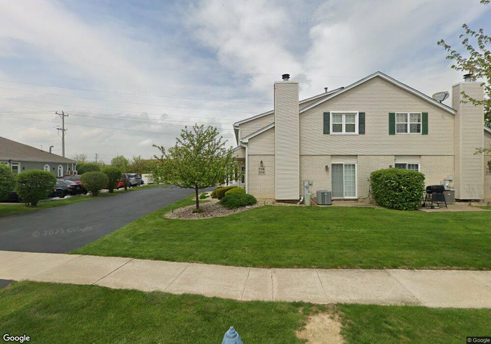
1504 Root St Crest Hill, IL 60403
Estimated Value: $211,000 - $250,000
2
Beds
2
Baths
--
Sq Ft
3,920
Sq Ft Lot
About This Home
This home is located at 1504 Root St, Crest Hill, IL 60403 and is currently estimated at $233,754. 1504 Root St is a home located in Will County with nearby schools including Richland Elementary School, Richland Jr High School, and Lockport Township High School East.
Ownership History
Date
Name
Owned For
Owner Type
Purchase Details
Closed on
Aug 5, 2010
Sold by
Short Mary Ellen
Bought by
Thomas Craig W
Current Estimated Value
Purchase Details
Closed on
Jan 21, 1997
Sold by
State Bank Of Countryside
Bought by
Short Mary Ellen
Create a Home Valuation Report for This Property
The Home Valuation Report is an in-depth analysis detailing your home's value as well as a comparison with similar homes in the area
Home Values in the Area
Average Home Value in this Area
Purchase History
| Date | Buyer | Sale Price | Title Company |
|---|---|---|---|
| Thomas Craig W | $105,000 | First American Title Company | |
| Short Mary Ellen | -- | Chicago Title Insurance Co |
Source: Public Records
Tax History
| Year | Tax Paid | Tax Assessment Tax Assessment Total Assessment is a certain percentage of the fair market value that is determined by local assessors to be the total taxable value of land and additions on the property. | Land | Improvement |
|---|---|---|---|---|
| 2024 | $4,223 | $60,311 | $17,934 | $42,377 |
| 2023 | $4,223 | $54,144 | $16,100 | $38,044 |
| 2022 | $3,812 | $50,507 | $15,019 | $35,488 |
| 2021 | $3,596 | $47,464 | $14,114 | $33,350 |
| 2020 | $3,491 | $45,903 | $13,650 | $32,253 |
| 2019 | $3,292 | $43,510 | $12,938 | $30,572 |
| 2018 | $3,235 | $41,824 | $12,437 | $29,387 |
| 2017 | $3,047 | $39,483 | $11,741 | $27,742 |
| 2016 | $2,904 | $37,004 | $11,004 | $26,000 |
| 2015 | $2,604 | $33,215 | $9,877 | $23,338 |
| 2014 | $2,604 | $32,247 | $9,589 | $22,658 |
| 2013 | $2,604 | $33,245 | $9,886 | $23,359 |
Source: Public Records
Map
Nearby Homes
- 1424 Root St
- 2117 Leness Ln
- Vacant Heiden Ave
- 1824 Plainfield Rd
- LOTS 4 & 5 Plainfield Rd
- Vacant Lot Parcel 04 Heiden Ave
- 17104 Weber Rd
- 1905 Innercircle Dr
- 1235 Norley Ave
- 1229 Norley Ave
- 1811 N Raynor Ave
- 1523 N May St
- 21401 Prestwick Dr
- 1928 Sybil Dr
- 2317 Hess Dr
- 2357 Caton Farm Rd
- 1323 Coral Bell Dr
- 1412 Colorado Ave
- 1511 Waverly Place
- 1314 Catherine St
Your Personal Tour Guide
Ask me questions while you tour the home.