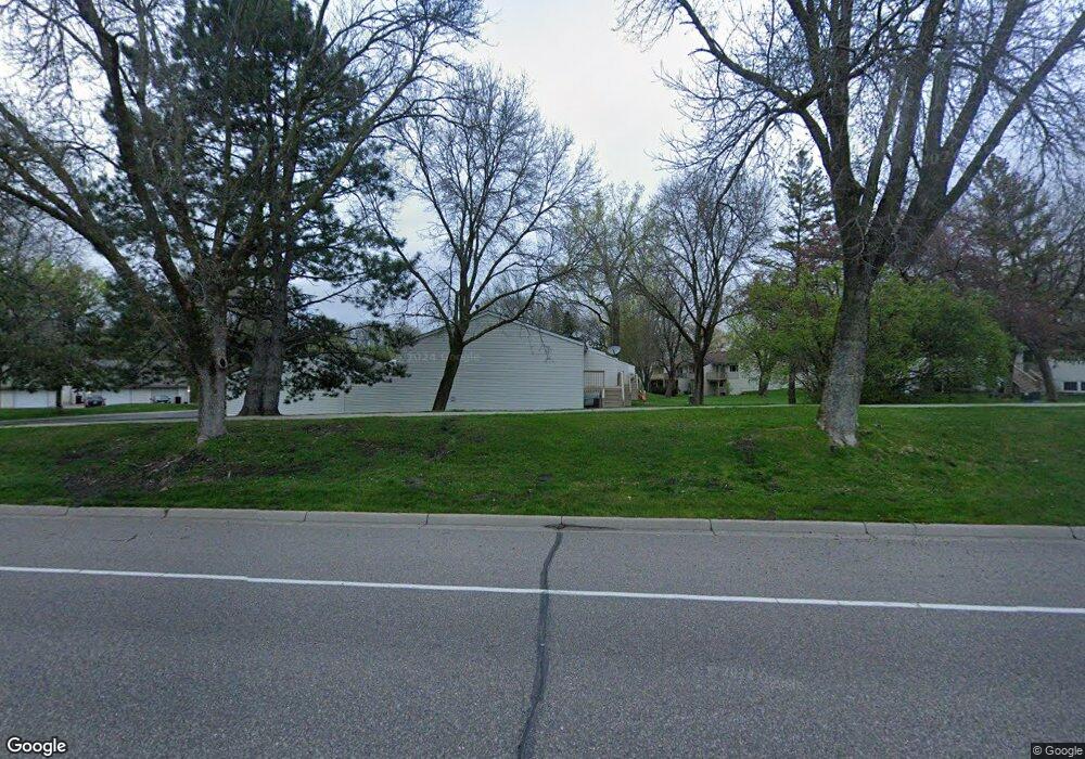
1505 121st Ave NW Coon Rapids, MN 55448
Estimated Value: $198,000 - $218,000
2
Beds
1
Bath
540
Sq Ft
$382/Sq Ft
Est. Value
About This Home
This home is located at 1505 121st Ave NW, Coon Rapids, MN 55448 and is currently estimated at $206,022, approximately $381 per square foot. 1505 121st Ave NW is a home located in Anoka County with nearby schools including Lucile Bruner Elementary School, Sand Creek Elementary School, and Laughlin Junior/Senior High School.
Ownership History
Date
Name
Owned For
Owner Type
Purchase Details
Closed on
Nov 6, 2008
Sold by
Federal National Mortgage Association
Bought by
Karq Llc
Current Estimated Value
Purchase Details
Closed on
Dec 14, 2001
Sold by
James Kristin A
Bought by
Bolduc Stefani J
Purchase Details
Closed on
Nov 29, 1995
Sold by
Longley Thomas R
Bought by
Jones Kipp A
Create a Home Valuation Report for This Property
The Home Valuation Report is an in-depth analysis detailing your home's value as well as a comparison with similar homes in the area
Home Values in the Area
Average Home Value in this Area
Purchase History
| Date | Buyer | Sale Price | Title Company |
|---|---|---|---|
| Karq Llc | $60,000 | -- | |
| Bolduc Stefani J | $113,000 | -- | |
| Jones Kipp A | $50,900 | -- |
Source: Public Records
Mortgage History
| Date | Status | Borrower | Loan Amount |
|---|---|---|---|
| Closed | Jones Kipp A | -- |
Source: Public Records
Tax History Compared to Growth
Tax History
| Year | Tax Paid | Tax Assessment Tax Assessment Total Assessment is a certain percentage of the fair market value that is determined by local assessors to be the total taxable value of land and additions on the property. | Land | Improvement |
|---|---|---|---|---|
| 2025 | $1,968 | $172,600 | $40,000 | $132,600 |
| 2024 | $1,968 | $172,100 | $40,000 | $132,100 |
| 2023 | $1,749 | $168,800 | $40,000 | $128,800 |
| 2022 | $1,660 | $166,000 | $35,000 | $131,000 |
| 2021 | $1,671 | $138,300 | $38,000 | $100,300 |
| 2020 | $1,553 | $135,800 | $25,000 | $110,800 |
| 2019 | $1,464 | $120,000 | $25,000 | $95,000 |
| 2018 | $1,443 | $109,100 | $0 | $0 |
| 2017 | $1,216 | $103,700 | $0 | $0 |
| 2016 | $1,190 | $80,200 | $0 | $0 |
| 2015 | -- | $80,200 | $16,200 | $64,000 |
| 2014 | -- | $63,600 | $6,000 | $57,600 |
Source: Public Records
Map
Nearby Homes
- 12010 Eagle St NW
- 1449 119th Ln NW
- 1727 121st Ln NW
- 11852 Yellow Pine St NW
- 12463 Drake St NW
- 1625 124th Ave NW
- 11923 Wintergreen St NW
- 12365 Jay St NW
- 1660 Northdale Blvd NW
- 1450 126th Ln NW
- 12554 Grouse St NW
- 1593 126th Ln NW
- 12488 Unity St NW
- 899 123rd Ln NW
- 2068 124th Ln NW
- 12796 Bluebird St NW
- 11350 Jay St NW
- 1234 128th Cir NW
- 1930 127th Cir NW
- 2147 125th Ln NW
- 1501 121st Ave NW
- 1509 121st Ave NW
- 1513 121st Ave NW
- 1517 121st Ave NW
- 1521 121st Ave NW
- 1525 121st Ave NW
- 1529 121st Ave NW
- 12114 Drake St NW
- 12108 Drake St NW
- 1533 121st Ave NW
- 12116 Drake St NW
- 12110 Drake St NW
- 12106 Drake St NW
- 12112 Drake St NW
- 12118 Drake St NW
- 1537 121st Ave NW
- 12128 Drake St NW
- 12130 Drake St NW
- 1541 121st Ave NW
- 12090 Drake St NW