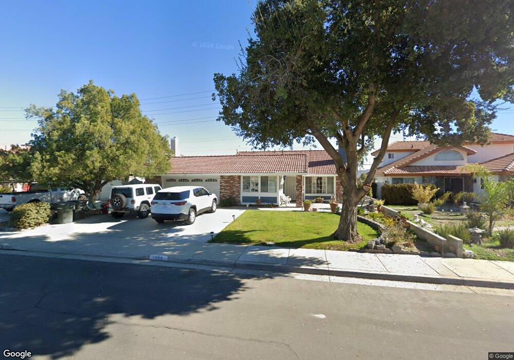
1505 Caron Ct Perris, CA 92571
Central Perris NeighborhoodEstimated Value: $413,000 - $511,000
4
Beds
2
Baths
1,525
Sq Ft
$312/Sq Ft
Est. Value
About This Home
This home is located at 1505 Caron Ct, Perris, CA 92571 and is currently estimated at $476,247, approximately $312 per square foot. 1505 Caron Ct is a home located in Riverside County with nearby schools including Sky View Elementary School, Pinacate Middle School, and Perris High School.
Ownership History
Date
Name
Owned For
Owner Type
Purchase Details
Closed on
Jul 12, 2024
Sold by
Soliz Baudelia
Bought by
Baudelia Soliz Living Trust and Soliz
Current Estimated Value
Purchase Details
Closed on
Feb 22, 2020
Sold by
Soliz Vanessssa Paola
Bought by
Soliz Baudelia
Purchase Details
Closed on
Jan 17, 2017
Sold by
Villa Francisco and Villa Eloisa
Bought by
Soliz Vanessa Paola
Purchase Details
Closed on
Apr 11, 2000
Sold by
Hud
Bought by
Villa Francisco and Villa Eloisa
Purchase Details
Closed on
Jul 28, 1999
Sold by
Countrywide Home Loans Inc
Bought by
Hud
Create a Home Valuation Report for This Property
The Home Valuation Report is an in-depth analysis detailing your home's value as well as a comparison with similar homes in the area
Home Values in the Area
Average Home Value in this Area
Purchase History
| Date | Buyer | Sale Price | Title Company |
|---|---|---|---|
| Baudelia Soliz Living Trust | -- | None Listed On Document | |
| Soliz Baudelia | -- | None Available | |
| Soliz Vanessa Paola | -- | Accommodation | |
| Villa Francisco | $96,500 | First Southwestern Title Co | |
| Hud | -- | Landsafe Title | |
| Countrywide Home Loans Inc | $136,624 | Landsafe Title |
Source: Public Records
Tax History
| Year | Tax Paid | Tax Assessment Tax Assessment Total Assessment is a certain percentage of the fair market value that is determined by local assessors to be the total taxable value of land and additions on the property. | Land | Improvement |
|---|---|---|---|---|
| 2025 | $3,709 | $320,433 | $43,743 | $276,690 |
| 2023 | $3,719 | $307,993 | $42,046 | $265,947 |
| 2022 | $3,669 | $301,955 | $41,222 | $260,733 |
| 2021 | $3,600 | $296,035 | $40,414 | $255,621 |
| 2020 | $3,173 | $259,995 | $42,448 | $217,547 |
| 2019 | $3,102 | $254,898 | $41,616 | $213,282 |
| 2018 | $2,966 | $249,900 | $40,800 | $209,100 |
| 2017 | $1,519 | $127,773 | $33,096 | $94,677 |
| 2016 | $1,490 | $125,269 | $32,448 | $92,821 |
| 2015 | $1,462 | $123,389 | $31,961 | $91,428 |
| 2014 | $1,430 | $120,974 | $31,336 | $89,638 |
Source: Public Records
Map
Nearby Homes
- 1462 Apple Creek Dr
- 558 Cherry Vista Dr
- 21500 Orange Creek Rd
- 1486 Olivecrest Way
- 544 Turquoise Dr
- 1562 Remembrance Dr
- 1121 Regala St
- 359 Bahia St
- 1102 Moraga Ave
- 1210 Trojan Cir
- 1942 Sandcastle Dr
- 1208 Kent Cir
- 1224 Trojan Cir
- 1684 Benton Way
- 1232 Trojan Cir
- 1564 Knott Ct
- 1223 Trojan Cir
- 1222 Kent Cir
- 338 Mildred St
- 1230 Kent Cir
Your Personal Tour Guide
Ask me questions while you tour the home.