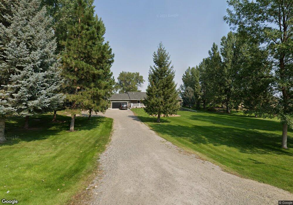
1505 Downy Rd Laurel, MT 59044
Estimated Value: $521,000 - $607,000
4
Beds
3
Baths
1,834
Sq Ft
$312/Sq Ft
Est. Value
About This Home
This home is located at 1505 Downy Rd, Laurel, MT 59044 and is currently estimated at $572,046, approximately $311 per square foot. 1505 Downy Rd is a home located in Yellowstone County with nearby schools including Fred W. Graff School, West School, and Laurel Middle School.
Ownership History
Date
Name
Owned For
Owner Type
Purchase Details
Closed on
Jun 10, 2008
Sold by
Thorson Kerry P and Thorson April L
Bought by
Arensmeyer Darrel S and Arensmeyer Anna M
Current Estimated Value
Home Financials for this Owner
Home Financials are based on the most recent Mortgage that was taken out on this home.
Original Mortgage
$279,835
Outstanding Balance
$179,110
Interest Rate
6%
Mortgage Type
FHA
Estimated Equity
$392,936
Create a Home Valuation Report for This Property
The Home Valuation Report is an in-depth analysis detailing your home's value as well as a comparison with similar homes in the area
Home Values in the Area
Average Home Value in this Area
Purchase History
| Date | Buyer | Sale Price | Title Company |
|---|---|---|---|
| Arensmeyer Darrel S | -- | St |
Source: Public Records
Mortgage History
| Date | Status | Borrower | Loan Amount |
|---|---|---|---|
| Open | Arensmeyer Darrel S | $279,835 |
Source: Public Records
Tax History
| Year | Tax Paid | Tax Assessment Tax Assessment Total Assessment is a certain percentage of the fair market value that is determined by local assessors to be the total taxable value of land and additions on the property. | Land | Improvement |
|---|---|---|---|---|
| 2025 | $2,890 | $482,700 | $109,980 | $372,720 |
| 2024 | $2,890 | $418,000 | $85,132 | $332,868 |
| 2023 | $2,914 | $418,000 | $85,132 | $332,868 |
| 2022 | $2,692 | $377,800 | $0 | $0 |
| 2021 | $2,683 | $377,800 | $0 | $0 |
| 2020 | $2,494 | $342,500 | $0 | $0 |
| 2019 | $2,401 | $342,500 | $0 | $0 |
| 2018 | $2,591 | $320,100 | $0 | $0 |
| 2017 | $2,364 | $320,100 | $0 | $0 |
| 2016 | $2,299 | $316,300 | $0 | $0 |
| 2015 | $2,265 | $316,300 | $0 | $0 |
| 2014 | $1,940 | $144,054 | $0 | $0 |
Source: Public Records
Map
Nearby Homes
- 1665 Wild Lupine Ln
- 1031 Fir Ave
- 1108 E 8th St
- 1104 E 8th St
- 605 Date Ave
- 809 Pennsylvania Ave
- 1319 Valley Dr
- 1627 Brookway Cir
- 1631 Valley Dr
- 717 E 5th, 506 Alder Ave
- 717 E 5th St
- 1906 Waterwood Dr
- 601 E 5th St
- 801 E 4th St
- 516 Pennsylvania Ave
- 414 Wyoming Ave
- 110 E 5th St
- 1254 W Beartooth Dr
- 1216 W 12th Street Cir
- 1735 Lobo Dr
Your Personal Tour Guide
Ask me questions while you tour the home.