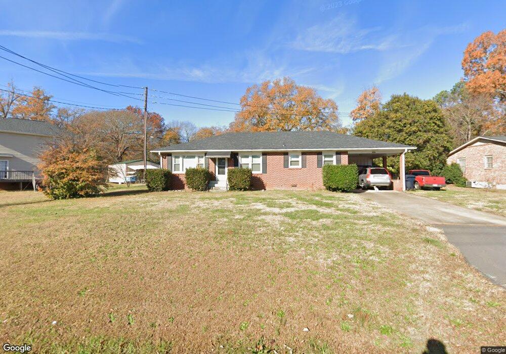
1505 E Calhoun St Anderson, SC 29621
Estimated Value: $216,880 - $268,000
3
Beds
2
Baths
1,400
Sq Ft
$176/Sq Ft
Est. Value
About This Home
This home is located at 1505 E Calhoun St, Anderson, SC 29621 and is currently estimated at $246,970, approximately $176 per square foot. 1505 E Calhoun St is a home located in Anderson County with nearby schools including Calhoun Academy of the Arts, McCants Middle School, and T.L. Hanna High School.
Ownership History
Date
Name
Owned For
Owner Type
Purchase Details
Closed on
Sep 29, 2015
Sold by
Estate Of Dennis Michael Mario Mattie and Mattie Celine
Bought by
Mattie Celine
Current Estimated Value
Purchase Details
Closed on
May 31, 2007
Sold by
3 Waynes Llc
Bought by
Mattie Dennis M and Mattie Celine
Purchase Details
Closed on
Mar 3, 2006
Sold by
Parks Leslie D
Bought by
3 Waynes Llc
Home Financials for this Owner
Home Financials are based on the most recent Mortgage that was taken out on this home.
Original Mortgage
$250,000
Interest Rate
6.19%
Mortgage Type
Future Advance Clause Open End Mortgage
Create a Home Valuation Report for This Property
The Home Valuation Report is an in-depth analysis detailing your home's value as well as a comparison with similar homes in the area
Home Values in the Area
Average Home Value in this Area
Purchase History
| Date | Buyer | Sale Price | Title Company |
|---|---|---|---|
| Mattie Celine | -- | -- | |
| Mattie Dennis M | $102,500 | None Available | |
| 3 Waynes Llc | $79,000 | None Available |
Source: Public Records
Mortgage History
| Date | Status | Borrower | Loan Amount |
|---|---|---|---|
| Previous Owner | 3 Waynes Llc | $250,000 |
Source: Public Records
Tax History
| Year | Tax Paid | Tax Assessment Tax Assessment Total Assessment is a certain percentage of the fair market value that is determined by local assessors to be the total taxable value of land and additions on the property. | Land | Improvement |
|---|---|---|---|---|
| 2025 | $661 | $5,220 | $910 | $4,310 |
| 2024 | $661 | $5,220 | $910 | $4,310 |
| 2023 | $666 | $5,220 | $910 | $4,310 |
| 2022 | $669 | $5,220 | $910 | $4,310 |
| 2021 | $552 | $4,330 | $660 | $3,670 |
| 2020 | $552 | $4,330 | $660 | $3,670 |
| 2019 | $552 | $4,330 | $660 | $3,670 |
| 2018 | $557 | $4,330 | $660 | $3,670 |
| 2017 | -- | $4,330 | $660 | $3,670 |
| 2016 | $504 | $4,070 | $640 | $3,430 |
| 2015 | $510 | $4,070 | $640 | $3,430 |
| 2014 | $510 | $4,070 | $640 | $3,430 |
Source: Public Records
Map
Nearby Homes
- 1519 E Calhoun St
- 2100 Marchbanks Ave
- 1509 Tindall Ave
- 1816 Marchbanks Ave
- 1207 Williamsburg Dr
- 611 Heyward Rd
- 16 Oleander Dr
- 315 Brighton Rd
- 105 Ashton Ln
- 36 Chalet Ct
- 24 Chalet Ct
- 215 Ligon Dr
- 405 Laurel Creek
- 1211 Melbourne Dr
- Lot 1-B E Greenville St
- 105 Nicklaus Dr
- 210 Ligon Dr
- 121 Ventura St
- 205 Durness Ln
- 122 Ventura St
- 1507 E Calhoun St
- 1998 Marchbanks Ave
- 2004 Marchbanks Ave
- 1509 E Calhoun St
- 1603 Rogers Rd
- 2006 Marchbanks Ave
- 1605 Rogers Rd
- 2008 Marchbanks Ave
- 1513 E Calhoun St
- 2003 Marchbanks Ave
- 2005 Bryson Rd
- 2011 Marchbanks Ave
- 1606 Chapman Rd
- 2010 Marchbanks Ave
- 1607 Rogers Rd
- 2007 Marchbanks Ave
- 1426 E Calhoun St
- 1425 E Calhoun St
- 6 Gabrielle St
- 6 Gabrielle St Unit Lot 4 Richmond Place
Your Personal Tour Guide
Ask me questions while you tour the home.