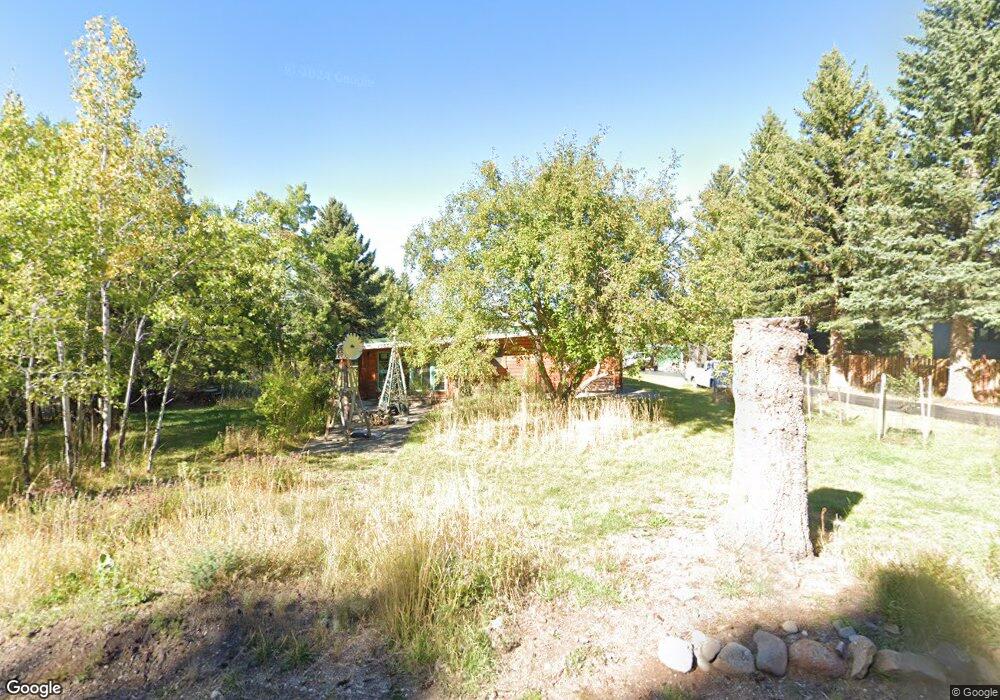
1505 Hillside Ln Bozeman, MT 59715
East Bozeman NeighborhoodEstimated Value: $742,000 - $1,251,000
2
Beds
1
Bath
2,288
Sq Ft
$420/Sq Ft
Est. Value
About This Home
This home is located at 1505 Hillside Ln, Bozeman, MT 59715 and is currently estimated at $961,106, approximately $420 per square foot. 1505 Hillside Ln is a home located in Gallatin County with nearby schools including Lincoln Titus Elementary School, Hawthorne Elementary School, and Van Cortlandtville School.
Ownership History
Date
Name
Owned For
Owner Type
Purchase Details
Closed on
Apr 28, 2006
Sold by
Morrow Arthur E
Bought by
Bird Elizabeth Ann R
Current Estimated Value
Home Financials for this Owner
Home Financials are based on the most recent Mortgage that was taken out on this home.
Original Mortgage
$199,200
Outstanding Balance
$113,376
Interest Rate
6.29%
Mortgage Type
Fannie Mae Freddie Mac
Estimated Equity
$847,730
Create a Home Valuation Report for This Property
The Home Valuation Report is an in-depth analysis detailing your home's value as well as a comparison with similar homes in the area
Home Values in the Area
Average Home Value in this Area
Purchase History
| Date | Buyer | Sale Price | Title Company |
|---|---|---|---|
| Bird Elizabeth Ann R | -- | American Land Title Company |
Source: Public Records
Mortgage History
| Date | Status | Borrower | Loan Amount |
|---|---|---|---|
| Open | Bird Elizabeth Ann R | $199,200 |
Source: Public Records
Tax History Compared to Growth
Tax History
| Year | Tax Paid | Tax Assessment Tax Assessment Total Assessment is a certain percentage of the fair market value that is determined by local assessors to be the total taxable value of land and additions on the property. | Land | Improvement |
|---|---|---|---|---|
| 2025 | $3,211 | $851,300 | $0 | $0 |
| 2024 | $4,337 | $819,200 | $0 | $0 |
| 2023 | $4,174 | $819,200 | $0 | $0 |
| 2022 | $2,889 | $432,800 | $0 | $0 |
| 2021 | $2,923 | $432,800 | $0 | $0 |
| 2020 | $2,695 | $369,600 | $0 | $0 |
| 2019 | $2,658 | $369,600 | $0 | $0 |
| 2018 | $2,412 | $302,147 | $0 | $0 |
| 2017 | $2,117 | $286,017 | $0 | $0 |
| 2016 | $1,978 | $252,100 | $0 | $0 |
| 2015 | $2,012 | $252,100 | $0 | $0 |
| 2014 | $2,032 | $167,586 | $0 | $0 |
Source: Public Records
Map
Nearby Homes
- TBD Story Mill Rd
- TBD Maiden Spirit St
- TBD Lucy Ln
- TBD Canyon Gate Blvd
- TBD Blvd
- 2402 Blue Silos Way
- 2434 Richau Ln
- 2506 Valhalla Ct
- 2503 Valhalla Ct
- 2403 Birdie Dr Unit A
- 1050 Boylan Rd Unit 4
- 18 Moon Shadow Dr
- 1031 Boylan Rd
- 1055 Caddie Ct
- 3107 Augusta Dr
- 805 N Ida Ave Unit 205
- 805 N Ida Ave Unit 203
- 805 N Ida Ave Unit 301
- 557 St Andrews Dr
- 620 E Cottonwood St Unit 203
- 1509 Hillside Ln
- 1409 Hillside Ln
- 1603 Hillside Ln
- 1405 Hillside Ln
- 2232 Bucks Run Ct
- 2237 Snow Flake Ct
- 2218 Snow Flake Ct
- 2224 Bucks Run Ct
- 1609 Hillside Ln
- lot 12 Headlands Sub
- 2256 Bucks Run Ct
- 2247 Bucks Run Ct
- 2254 Snow Flake Ct
- 1615 Hillside Ln
- - Bucks Run Ct
- LOT 6 Bucks Run Ct
- 2261 Bucks Run Ct
- 1317 Hillside Ln
- TBD Snow Flake Ct
- LOT 11 Snow Flake Ct