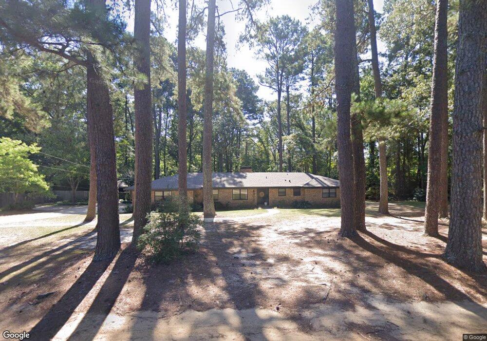
1505 Mimosa Dr Ruston, LA 71270
Estimated Value: $225,000 - $280,000
3
Beds
2
Baths
1,758
Sq Ft
$143/Sq Ft
Est. Value
About This Home
This home is located at 1505 Mimosa Dr, Ruston, LA 71270 and is currently estimated at $251,668, approximately $143 per square foot. 1505 Mimosa Dr is a home located in Lincoln Parish with nearby schools including Glen View Elementary School, Cypress Springs Elementary School, and Ruston Junior High School.
Ownership History
Date
Name
Owned For
Owner Type
Purchase Details
Closed on
Sep 21, 2007
Sold by
Sumlin Ann Riser and Lacroix Ellen Riser
Bought by
Fretwell Coleman Mark Eldridge and Fretwell Coleman Wendy
Current Estimated Value
Home Financials for this Owner
Home Financials are based on the most recent Mortgage that was taken out on this home.
Original Mortgage
$119,000
Outstanding Balance
$74,183
Interest Rate
6.63%
Mortgage Type
Purchase Money Mortgage
Estimated Equity
$177,485
Create a Home Valuation Report for This Property
The Home Valuation Report is an in-depth analysis detailing your home's value as well as a comparison with similar homes in the area
Purchase History
| Date | Buyer | Sale Price | Title Company |
|---|---|---|---|
| Fretwell Coleman Mark Eldridge | $140,000 | None Available |
Source: Public Records
Mortgage History
| Date | Status | Borrower | Loan Amount |
|---|---|---|---|
| Open | Fretwell Coleman Mark Eldridge | $119,000 |
Source: Public Records
Tax History
| Year | Tax Paid | Tax Assessment Tax Assessment Total Assessment is a certain percentage of the fair market value that is determined by local assessors to be the total taxable value of land and additions on the property. | Land | Improvement |
|---|---|---|---|---|
| 2025 | $1,839 | $21,549 | $4,393 | $17,156 |
| 2024 | $1,839 | $21,549 | $4,393 | $17,156 |
| 2023 | $1,802 | $20,280 | $3,670 | $16,610 |
| 2022 | $1,811 | $20,280 | $3,670 | $16,610 |
| 2021 | $1,677 | $20,280 | $3,670 | $16,610 |
| 2020 | $1,527 | $18,371 | $3,670 | $14,701 |
| 2019 | $1,492 | $18,371 | $3,670 | $14,701 |
| 2018 | $1,451 | $18,371 | $3,670 | $14,701 |
| 2017 | $1,455 | $18,371 | $3,670 | $14,701 |
| 2016 | $1,449 | $0 | $0 | $0 |
| 2015 | $1,397 | $16,267 | $3,340 | $12,927 |
| 2013 | $1,419 | $16,267 | $3,340 | $12,927 |
Source: Public Records
Map
Nearby Homes
- 1904 Mimosa Cir
- 1804 Corley St
- 1507 Dauphine Dr
- 1111 Rita Ln
- 1508 Bonaparte Dr
- 1113 Lisa Ln
- 1322 Cooktown Rd
- 904 Sherwood Dr
- 901 Pennington Ln
- 1114 Abby Ln
- 2158 Llangeler Dr
- Kavanaugh Rd
- 516 Glendale Dr
- 542 Toma Lodge Dr
- 1201 Gains Ave
- 0 Gordon Dr
- 902 Arnold St
- 218 Huey Ave
- 2111 W Kentucky Ave
- S Service Rd
- 1502 Mimosa Dr
- 1600 Mimosa Dr
- 1604 Mimosa Cir
- 1602 Mimosa Dr
- 1902 Dixie St
- 1500 Mimosa Dr
- 1501 Mimosa Dr
- 1903 Cooktown Rd
- 1904 Dixie St
- 1903 Mimosa Dr
- 1900 Mimosa Dr
- 1711 Cooktown Rd
- 1705 Cooktown Rd
- 1902 Cooktown Rd
- 1905 Cooktown Rd
- 1902 Mimosa Dr
- 1905 Mimosa Dr
- 1906 Dixie St
- 1704 Cooktown Rd
- 1709 Cooktown Rd
Your Personal Tour Guide
Ask me questions while you tour the home.