1505 S Kings Hwy Cushing, OK 74023
Estimated Value: $329,000 - $381,149
3
Beds
3
Baths
2,278
Sq Ft
$158/Sq Ft
Est. Value
About This Home
This home is located at 1505 S Kings Hwy, Cushing, OK 74023 and is currently estimated at $361,037, approximately $158 per square foot. 1505 S Kings Hwy is a home with nearby schools including Cushing Upper Elementary School, Cushing Lower Elementary School, and Cushing High School.
Ownership History
Date
Name
Owned For
Owner Type
Purchase Details
Closed on
Jul 23, 2010
Sold by
Bruner Bobby Brent
Bought by
Crapse Fred J and Crapse Karen R
Current Estimated Value
Home Financials for this Owner
Home Financials are based on the most recent Mortgage that was taken out on this home.
Original Mortgage
$140,000
Interest Rate
4.73%
Mortgage Type
Future Advance Clause Open End Mortgage
Create a Home Valuation Report for This Property
The Home Valuation Report is an in-depth analysis detailing your home's value as well as a comparison with similar homes in the area
Home Values in the Area
Average Home Value in this Area
Purchase History
| Date | Buyer | Sale Price | Title Company |
|---|---|---|---|
| Crapse Fred J | $235,000 | -- |
Source: Public Records
Mortgage History
| Date | Status | Borrower | Loan Amount |
|---|---|---|---|
| Closed | Crapse Fred J | $140,000 |
Source: Public Records
Tax History Compared to Growth
Tax History
| Year | Tax Paid | Tax Assessment Tax Assessment Total Assessment is a certain percentage of the fair market value that is determined by local assessors to be the total taxable value of land and additions on the property. | Land | Improvement |
|---|---|---|---|---|
| 2024 | $2,895 | $34,161 | $2,397 | $31,764 |
| 2023 | $2,895 | $32,535 | $1,768 | $30,767 |
| 2022 | $2,641 | $30,985 | $2,068 | $28,917 |
| 2021 | $2,449 | $29,510 | $2,152 | $27,358 |
| 2020 | $2,301 | $28,105 | $2,193 | $25,912 |
| 2019 | $2,336 | $27,292 | $2,360 | $24,932 |
| 2018 | $2,263 | $27,292 | $2,360 | $24,932 |
| 2017 | $2,246 | $27,292 | $2,360 | $24,932 |
| 2016 | $2,267 | $26,823 | $2,105 | $24,718 |
| 2015 | $2,212 | $25,546 | $1,411 | $24,135 |
| 2014 | $2,202 | $25,546 | $1,411 | $24,135 |
Source: Public Records
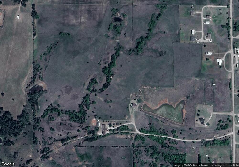
Map
Nearby Homes
- 1716 W 9th St
- 1145 S Little Ave
- 0 W Cherry St
- 228 S Central Ave
- 413 E 8th St
- 304 W Cherry St
- 103 E Cherry St
- 305 S Noble Ave
- 735 E 9th St
- 217 W Maple St
- 904 E 14th St
- 911 E 14th St
- 835 S Thompson Place
- 512 E Broadway St
- 828 E 6th St
- 0 W Main St
- 0 S Wilson Ave
- 744 S Wilson Ave
- 843 E 4th St
- 620 N Central Ave
- 1500 S Kings Hwy
- 1817 S Kings Hwy
- 1400 S Kings Hwy
- 1901 S Kings Hwy
- 1401 S Kings Hwy
- 1903 S Kings Hwy
- 1200 S Kings Hwy
- 1121 Sunnyside Dr
- 1122 Sunnyside Dr
- 1105 Sunnyside Dr
- 1148 S Kings St
- 1104 Sunnyside Dr
- 1146 S Kings St
- 1004 S Kings Hwy
- 2123 S Kings Hwy
- 2116 S Kings Hwy
- 1002 S Kings Hwy
- 2201 S Kings Hwy
- 1000 S Kings Hwy
- 1505 W 9th St