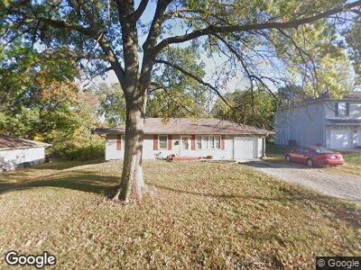
1505 Westwinds Dr Columbia, MO 65203
Westwinds Park NeighborhoodEstimated Value: $238,000 - $315,000
3
Beds
2
Baths
2,506
Sq Ft
$107/Sq Ft
Est. Value
About This Home
This home is located at 1505 Westwinds Dr, Columbia, MO 65203 and is currently estimated at $269,263, approximately $107 per square foot. 1505 Westwinds Dr is a home located in Boone County with nearby schools including Russell Boulevard Elementary School, West Middle School, and David H. Hickman High School.
Ownership History
Date
Name
Owned For
Owner Type
Purchase Details
Closed on
Jul 30, 2010
Sold by
Phifer Patricia and Phifer Stephen Bryan
Bought by
Phifer Patricia and Phifer Stephen Bryan
Current Estimated Value
Home Financials for this Owner
Home Financials are based on the most recent Mortgage that was taken out on this home.
Original Mortgage
$73,200
Interest Rate
4.54%
Mortgage Type
New Conventional
Create a Home Valuation Report for This Property
The Home Valuation Report is an in-depth analysis detailing your home's value as well as a comparison with similar homes in the area
Home Values in the Area
Average Home Value in this Area
Purchase History
| Date | Buyer | Sale Price | Title Company |
|---|---|---|---|
| Phifer Patricia | -- | Assured Title Company |
Source: Public Records
Mortgage History
| Date | Status | Borrower | Loan Amount |
|---|---|---|---|
| Closed | Phifer Patricia | $73,200 | |
| Closed | Bradley Patricia | $20,000 |
Source: Public Records
Tax History Compared to Growth
Tax History
| Year | Tax Paid | Tax Assessment Tax Assessment Total Assessment is a certain percentage of the fair market value that is determined by local assessors to be the total taxable value of land and additions on the property. | Land | Improvement |
|---|---|---|---|---|
| 2024 | $1,436 | $21,280 | $2,432 | $18,848 |
| 2023 | $1,424 | $21,280 | $2,432 | $18,848 |
| 2022 | $1,317 | $19,703 | $2,432 | $17,271 |
| 2021 | $1,319 | $19,703 | $2,432 | $17,271 |
| 2020 | $1,253 | $17,586 | $2,432 | $15,154 |
| 2019 | $1,253 | $17,586 | $2,432 | $15,154 |
| 2018 | $1,168 | $0 | $0 | $0 |
| 2017 | $1,154 | $16,283 | $2,432 | $13,851 |
| 2016 | $1,185 | $16,283 | $2,432 | $13,851 |
| 2015 | $1,093 | $16,283 | $2,432 | $13,851 |
| 2014 | -- | $16,283 | $2,432 | $13,851 |
Source: Public Records
Map
Nearby Homes
- 1210 Saint Michael Dr
- 1418 Bradford Dr
- 1020 Crestland Ave
- 1209 Sunset Dr
- 1102 Westwinds Dr
- 839 Marylee Ct
- 1506 W Boulevard Ct
- 906 Crestland Ave
- 1509 W Rollins Rd
- 1905 Hatton Dr
- 1703 W Rollins Rd
- 702 Russell Blvd
- 1813 Crystal Point
- 2321 Woodridge Rd
- 914 Martin Dr
- 409 S Greenwood Ave
- 1004 Lakeshore Dr
- 1326 Overhill Rd
- 707 W Rollins Rd
- 2113 Limerick Ln
- 1505 Westwinds Dr
- 1501 Westwinds Dr
- 1507 Westwinds Dr
- 1504 Saint Christopher St
- 1500 Saint Christopher St
- 1508 Saint Christopher St
- 1411 Westwinds Dr
- 1412 Saint Christopher St
- 1510 Saint Christopher St
- 1409 Westwinds Dr
- 1408 Saint Christopher St
- 1514 Saint Christopher St
- 1505 S St Christopher
- 1505 Saint Christopher St
- 1501 Saint Christopher St
- 1509 Saint Christopher St
- 1413 Saint Christopher St
- 1605 Highridge Cir
- 1601 Highridge Cir
- 1405 Westwinds Dr