15055 6th Street Rd Wamego, KS 66547
Estimated Value: $261,000 - $577,302
2
Beds
2
Baths
3,544
Sq Ft
$113/Sq Ft
Est. Value
About This Home
This home is located at 15055 6th Street Rd, Wamego, KS 66547 and is currently estimated at $399,101, approximately $112 per square foot. 15055 6th Street Rd is a home located in Pottawatomie County with nearby schools including Central Elementary School, West Elementary School, and Wamego Middle School.
Ownership History
Date
Name
Owned For
Owner Type
Purchase Details
Closed on
Mar 23, 2020
Sold by
Flint Rock Farms Llc
Bought by
Honeycutt Daemon and Honeycutt Kimberly
Current Estimated Value
Home Financials for this Owner
Home Financials are based on the most recent Mortgage that was taken out on this home.
Original Mortgage
$400,000
Outstanding Balance
$353,582
Interest Rate
3.4%
Mortgage Type
New Conventional
Estimated Equity
$45,519
Create a Home Valuation Report for This Property
The Home Valuation Report is an in-depth analysis detailing your home's value as well as a comparison with similar homes in the area
Home Values in the Area
Average Home Value in this Area
Purchase History
| Date | Buyer | Sale Price | Title Company |
|---|---|---|---|
| Honeycutt Daemon | -- | None Available |
Source: Public Records
Mortgage History
| Date | Status | Borrower | Loan Amount |
|---|---|---|---|
| Open | Honeycutt Daemon | $400,000 |
Source: Public Records
Tax History Compared to Growth
Tax History
| Year | Tax Paid | Tax Assessment Tax Assessment Total Assessment is a certain percentage of the fair market value that is determined by local assessors to be the total taxable value of land and additions on the property. | Land | Improvement |
|---|---|---|---|---|
| 2025 | $3,562 | $42,531 | $4,287 | $38,244 |
| 2024 | $36 | $39,248 | $4,141 | $35,107 |
| 2023 | $3,235 | $34,461 | $4,176 | $30,285 |
| 2022 | $1,881 | $30,566 | $4,144 | $26,422 |
| 2021 | $1,881 | $8,850 | $3,772 | $5,078 |
| 2020 | $1,881 | $20,708 | $3,751 | $16,957 |
| 2019 | $1,784 | $19,434 | $3,679 | $15,755 |
| 2018 | $1,815 | $19,303 | $3,176 | $16,127 |
| 2017 | $1,777 | $18,664 | $3,146 | $15,518 |
| 2016 | $1,715 | $18,380 | $3,037 | $15,343 |
| 2015 | -- | $18,056 | $2,957 | $15,099 |
| 2014 | -- | $17,529 | $2,439 | $15,090 |
Source: Public Records
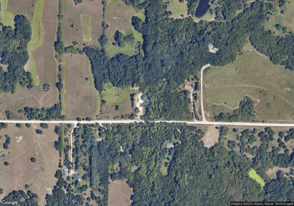
Map
Nearby Homes
- 3673 Stewart Farm Rd
- 14452 Wildwood Cir
- 14578 Wildwood Cir
- 14373 Prairie Trail
- 14434 Wildwood Cir
- 14470 Wildwood Cir
- 14380 Prairie Trail
- 14409 Wildwood Cir
- 14391 Prairie Trail
- 14371 Prairie Fire Ln
- 14416 Wildwood Cir
- 00000 Wildwood Cir
- 14205 Prairie Trail
- 00000 Prairie Trail
- 00000 Prairie Trail (Lot #3)
- 14362 Prairie W
- 14344 Prairie W
- 14226 Prairie W
- 15115 Military Trail Rd
- 4320 Rebecca Ln
- 15205 6th Street Rd
- 15154 6th Street Rd
- 15110 6th Street Rd
- 15050 6th Street Rd
- 15227 6th Street Rd
- 15010 6th Street Rd
- 4210 Wam-Teau Dr
- 4210 Wamteau Dr
- 16805 6th St
- 4260 Wamteau Dr
- 4224 Wamteau Dr
- 4230 Wamteau Dr
- 15400 6th Street Rd
- 4300 Wamteau Dr
- 4280 Wamteau Dr
- 14845 6th Street Rd
- 4320 Wamteau Dr
- 4318 Wam-Teau Dr
- 4318 Wamteau Dr