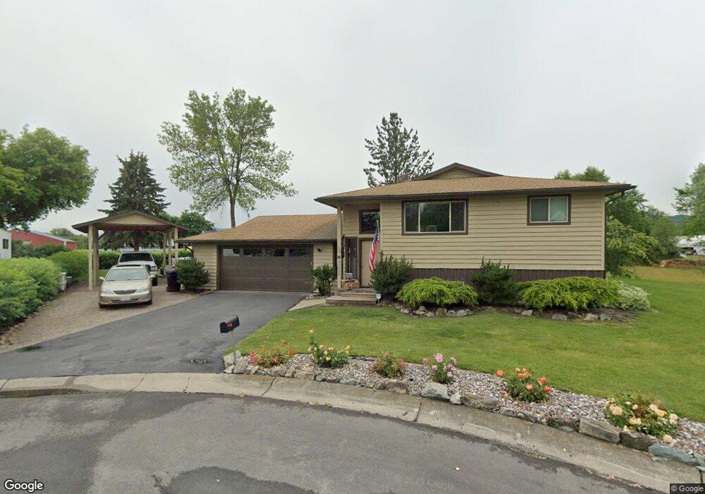
1506 Greendale Ct Kalispell, MT 59901
Estimated Value: $481,000 - $557,000
4
Beds
2
Baths
1,279
Sq Ft
$396/Sq Ft
Est. Value
About This Home
This home is located at 1506 Greendale Ct, Kalispell, MT 59901 and is currently estimated at $505,867, approximately $395 per square foot. 1506 Greendale Ct is a home located in Flathead County with nearby schools including Cornelius Hedges School, Flathead High School, and Stillwater Christian School.
Ownership History
Date
Name
Owned For
Owner Type
Purchase Details
Closed on
Apr 29, 2025
Sold by
Guiffrida Family Revocable Trust and Guiffrida Phillip C
Bought by
Guiffrida Phillip and Guiffrida Michelle
Current Estimated Value
Home Financials for this Owner
Home Financials are based on the most recent Mortgage that was taken out on this home.
Original Mortgage
$172,500
Outstanding Balance
$163,584
Interest Rate
6.67%
Mortgage Type
New Conventional
Estimated Equity
$342,283
Purchase Details
Closed on
Sep 10, 2015
Sold by
Guiffrida Phillip C and Guiffrida Jerri L
Bought by
The Guiffrida Family Revocable Trust
Create a Home Valuation Report for This Property
The Home Valuation Report is an in-depth analysis detailing your home's value as well as a comparison with similar homes in the area
Home Values in the Area
Average Home Value in this Area
Purchase History
| Date | Buyer | Sale Price | Title Company |
|---|---|---|---|
| Guiffrida Phillip | -- | None Listed On Document | |
| The Guiffrida Family Revocable Trust | -- | None Available |
Source: Public Records
Mortgage History
| Date | Status | Borrower | Loan Amount |
|---|---|---|---|
| Open | Guiffrida Phillip | $172,500 |
Source: Public Records
Tax History Compared to Growth
Tax History
| Year | Tax Paid | Tax Assessment Tax Assessment Total Assessment is a certain percentage of the fair market value that is determined by local assessors to be the total taxable value of land and additions on the property. | Land | Improvement |
|---|---|---|---|---|
| 2025 | $2,791 | $525,400 | $0 | $0 |
| 2024 | $3,012 | $386,800 | $0 | $0 |
| 2023 | $4,006 | $386,800 | $0 | $0 |
| 2022 | $4,203 | $311,200 | $0 | $0 |
| 2021 | $3,350 | $311,200 | $0 | $0 |
| 2020 | $3,932 | $271,500 | $0 | $0 |
| 2019 | $3,927 | $271,500 | $0 | $0 |
| 2018 | $3,533 | $226,300 | $0 | $0 |
| 2017 | $3,531 | $226,300 | $0 | $0 |
| 2016 | $3,139 | $224,200 | $0 | $0 |
| 2015 | $3,124 | $224,200 | $0 | $0 |
| 2014 | $2,754 | $117,236 | $0 | $0 |
Source: Public Records
Map
Nearby Homes
- 1687 Bull Run
- 1692 Bull Run
- 1717 S Woodland Dr Unit SPC -21
- 1221 7th Ave E
- 826 11th St E
- 51 Selders Ln
- 1024 Woodland Ave
- 1509 Eagle Dr
- 330 12th St E
- 59 Honeysuckle Ln
- 835 7th Ave E
- 1225 2nd Ave E
- 1312 2nd Ave E
- 2147 S Woodland Dr
- 270 Caroline Rd
- 723 5th Ave E Unit 212C
- 815 3rd Ave E
- 19 Muskrat Dr
- 11 Muskrat Dr
- 504 6th Ave E
- 1503 Greendale Ct
- 1598 S Woodland Dr
- 1511 Greendale Ct
- 1600 S Woodland Dr
- 1522 Greendale Ct
- 1600 S Woodland Dr
- 1519 Greendale Ct
- 1508 Rogers Dr
- 1602 S Woodland Dr
- 1602 S Woodland Dr
- 1500 Rogers Dr
- 1514 S Woodland Dr
- 1514 S Woodland Dr
- 1514 S Woodland Dr Unit s A & B
- 1525 S Woodland Dr
- 105 Quincy Loop
- 1525 S Woodland Dr
- 1213 Rogers Dr
- 1523 S Woodland Dr
- 1517 S Woodland Dr