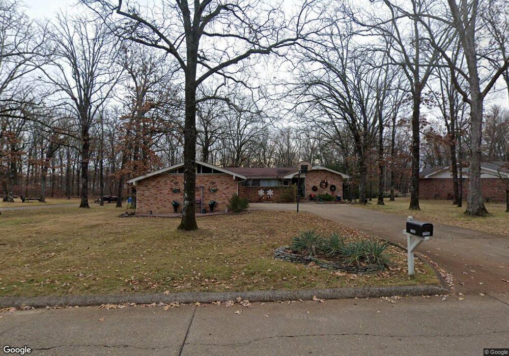
1506 Lurlyn Rd Poplar Bluff, MO 63901
Estimated Value: $220,066 - $384,000
3
Beds
--
Bath
3,025
Sq Ft
$91/Sq Ft
Est. Value
About This Home
This home is located at 1506 Lurlyn Rd, Poplar Bluff, MO 63901 and is currently estimated at $276,767, approximately $91 per square foot. 1506 Lurlyn Rd is a home located in Butler County with nearby schools including Poplar Bluff Fifth & Sixth Grade Center, O'Neal Elementary School, and Poplar Bluff Junior High School.
Ownership History
Date
Name
Owned For
Owner Type
Purchase Details
Closed on
Oct 22, 2010
Sold by
Brown Wayne Odale and Brown Darlene Seal
Bought by
Brown Darlene Seal
Current Estimated Value
Purchase Details
Closed on
Jun 25, 2010
Sold by
Childress Phillip Wayne
Bought by
Brown Wayne Odale and Brown Darlene Seal
Home Financials for this Owner
Home Financials are based on the most recent Mortgage that was taken out on this home.
Original Mortgage
$67,000
Interest Rate
4.81%
Mortgage Type
New Conventional
Purchase Details
Closed on
Oct 3, 2008
Sold by
Reno Richard L and Reno Carolyn Dianne
Bought by
Berry Shawn D and Berry Danielle
Home Financials for this Owner
Home Financials are based on the most recent Mortgage that was taken out on this home.
Original Mortgage
$151,347
Interest Rate
6.52%
Mortgage Type
FHA
Create a Home Valuation Report for This Property
The Home Valuation Report is an in-depth analysis detailing your home's value as well as a comparison with similar homes in the area
Home Values in the Area
Average Home Value in this Area
Purchase History
| Date | Buyer | Sale Price | Title Company |
|---|---|---|---|
| Brown Darlene Seal | -- | -- | |
| Brown Wayne Odale | -- | -- | |
| Berry Shawn D | -- | -- |
Source: Public Records
Mortgage History
| Date | Status | Borrower | Loan Amount |
|---|---|---|---|
| Previous Owner | Brown Wayne Odale | $67,000 | |
| Previous Owner | Berry Shawn D | $151,347 |
Source: Public Records
Tax History Compared to Growth
Tax History
| Year | Tax Paid | Tax Assessment Tax Assessment Total Assessment is a certain percentage of the fair market value that is determined by local assessors to be the total taxable value of land and additions on the property. | Land | Improvement |
|---|---|---|---|---|
| 2024 | $1,452 | $30,060 | $0 | $0 |
| 2023 | $1,452 | $30,060 | $0 | $0 |
| 2022 | $1,406 | $29,160 | $0 | $0 |
| 2021 | $1,407 | $29,160 | $0 | $0 |
| 2020 | $1,349 | $27,580 | $0 | $0 |
| 2019 | $1,348 | $27,580 | $0 | $0 |
| 2018 | $1,348 | $27,580 | $0 | $0 |
| 2017 | -- | $27,580 | $0 | $0 |
| 2016 | -- | $27,580 | $0 | $0 |
| 2015 | -- | $27,580 | $0 | $0 |
| 2014 | -- | $25,900 | $0 | $0 |
| 2012 | $1,103 | $25,900 | $0 | $0 |
Source: Public Records
Map
Nearby Homes
- 2035 King Rd
- 2006 Holloway Dr
- 2105 Jackson Rd
- 1824 Sunset Dr
- 2015 Snider Rd
- 1715 Big Bend Rd
- 2022 Snider Rd
- 1423 Woodland Rd
- 2005 W Spring
- 2011 Woodland Rd
- 1401 Grove St
- 618 Old St
- 1303 Gardner St
- 501 N 16th St
- 1107 Hickory St
- 1402 Spring St
- 2462 Roxie Rd
- 1214 W Harper St
- 1050 Davis St
- 2420 Channon Dr
- 1504 Lurlyn Dr
- 1511 Lurlyn Dr
- 1507 Lurlyn Rd
- 1515 Lurlyn Rd
- 1600 Lurlyn Dr
- 1502 Lurlyn Dr
- 1505 Lurlyn Dr
- 1492 Atkins Rd
- 1519 Lurlyn Rd
- 1519 Lurlyn Dr
- 1506 Atkins Rd
- 1514 Lurlyn Dr
- 1503 Lurlyn Dr
- 1578 Haven Hills Rd
- 1500 Lurlyn Rd
- 0 E Side Haven Hills Rd Unit 9934514
- 1489 Atkins Rd
- 1525 Lurlyn Dr
- 2105 King Rd
- 2009 King Rd