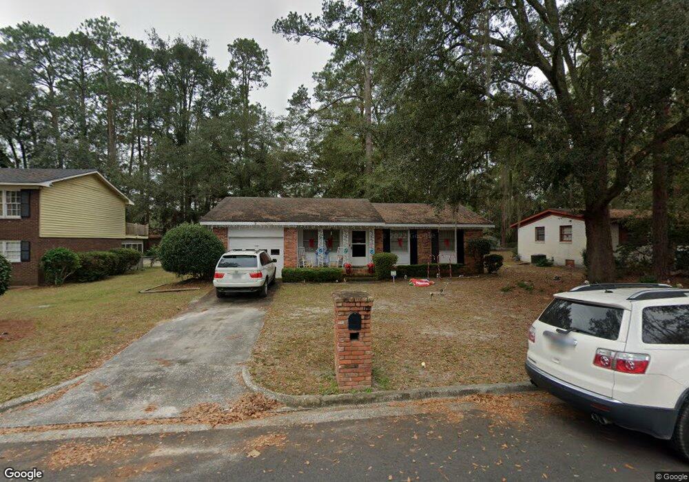
1507 Fresno St Valdosta, GA 31602
Estimated Value: $129,511 - $178,000
3
Beds
2
Baths
1,169
Sq Ft
$133/Sq Ft
Est. Value
About This Home
This home is located at 1507 Fresno St, Valdosta, GA 31602 and is currently estimated at $155,128, approximately $132 per square foot. 1507 Fresno St is a home located in Lowndes County with nearby schools including W.G. Nunn Elementary School, Newbern Middle School, and Valdosta High School.
Ownership History
Date
Name
Owned For
Owner Type
Purchase Details
Closed on
Jan 21, 1998
Bought by
Ponder Aaron
Current Estimated Value
Purchase Details
Closed on
Aug 27, 1989
Bought by
Foutz Martin F Jr Etal
Purchase Details
Closed on
Aug 7, 1989
Bought by
Foutz Martin F Sr Life
Purchase Details
Closed on
Feb 5, 1981
Bought by
Foutz Martin F Sr Etal
Purchase Details
Closed on
Jun 6, 1972
Bought by
Foutz Martin F Sr Etal
Purchase Details
Closed on
Feb 21, 1972
Bought by
Bryant Bobby Wayne Etal
Purchase Details
Closed on
Oct 20, 1969
Bought by
Brandon Peter D
Create a Home Valuation Report for This Property
The Home Valuation Report is an in-depth analysis detailing your home's value as well as a comparison with similar homes in the area
Home Values in the Area
Average Home Value in this Area
Purchase History
| Date | Buyer | Sale Price | Title Company |
|---|---|---|---|
| Ponder Aaron | $52,000 | -- | |
| Foutz Martin F Jr Etal | -- | -- | |
| Foutz Martin F Sr Life | -- | -- | |
| Foutz Martin F Sr Etal | -- | -- | |
| Foutz Martin F Sr Etal | $4,800 | -- | |
| Bryant Bobby Wayne Etal | $5,000 | -- | |
| Brandon Peter D | $2,100 | -- |
Source: Public Records
Tax History Compared to Growth
Tax History
| Year | Tax Paid | Tax Assessment Tax Assessment Total Assessment is a certain percentage of the fair market value that is determined by local assessors to be the total taxable value of land and additions on the property. | Land | Improvement |
|---|---|---|---|---|
| 2024 | $909 | $32,542 | $4,000 | $28,542 |
| 2023 | $909 | $26,834 | $4,000 | $22,834 |
| 2022 | $674 | $19,946 | $4,000 | $15,946 |
| 2021 | $694 | $19,946 | $4,000 | $15,946 |
| 2020 | $708 | $19,946 | $4,000 | $15,946 |
| 2019 | $708 | $19,946 | $4,000 | $15,946 |
| 2018 | $502 | $19,946 | $4,000 | $15,946 |
| 2017 | $505 | $19,946 | $4,000 | $15,946 |
| 2016 | $504 | $19,946 | $4,000 | $15,946 |
| 2015 | $463 | $19,946 | $4,000 | $15,946 |
| 2014 | $471 | $19,946 | $4,000 | $15,946 |
Source: Public Records
Map
Nearby Homes
- 2517 Deborah Dr
- 1 Pomona Cir
- 1647 Fresno St
- 2570 Forrestwood Dr
- 2414 Deborah Dr
- 2570 Marathon Dr
- 0 Northside Dr Unit 145194
- 1703 Largo Cir
- 908 Habersham Rd
- 904 Habersham Rd
- 1720 Largo Cir
- 2435 Muscogee Dr
- 2712 Clayton Dr
- 2320 Barack Obama Blvd
- 9 Oconee Place
- 2713 Pineview Dr Unit A&B
- 2821 Clayton Dr
- 2511 Orlando Dr
- 217 Gard St Unit 2
- 3016 Ginny Dr
- 1505 Fresno St
- 1509 Fresno St
- 5 Pomona Cir
- 1503 Fresno St
- 6 Pomona Cir
- 1506 Fresno St
- 4 Pomona Cir
- 1504 Fresno St
- 1508 Fresno St
- 1502 Fresno St
- 2519 Deborah Dr
- 1507 Northside Dr
- 1601 Fresno St
- 2515 Deborah Dr
- 2615 N Forrest St
- 2601 Deborah Dr
- 3 Pomona Cir
- 2613 N Forrest St
- 2 Pomona Cir
- 1600 Fresno St