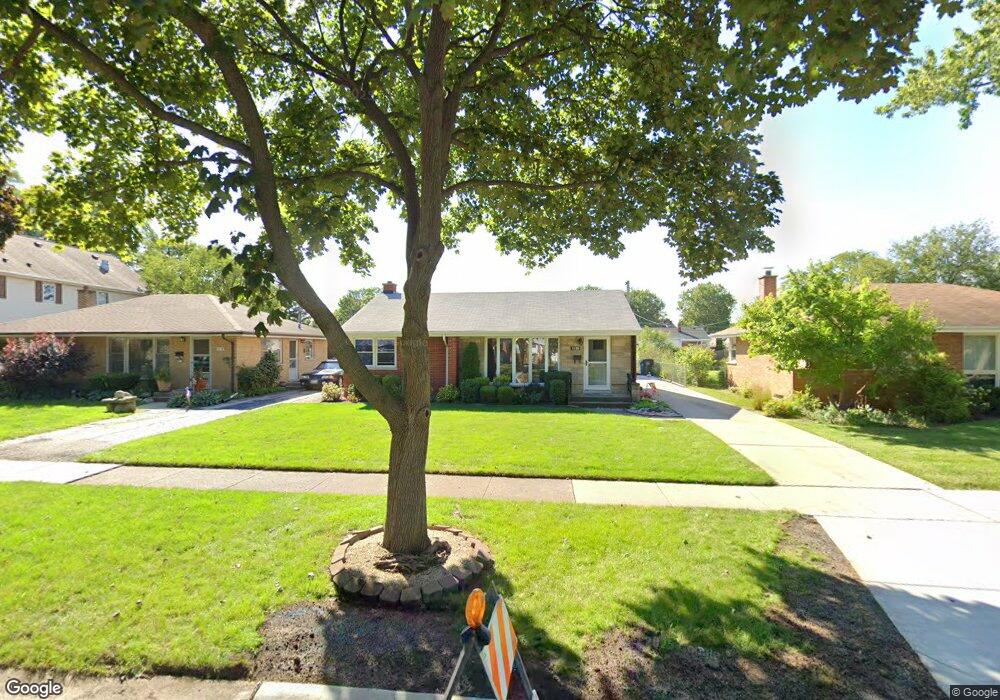
1508 Cindy Ln Des Plaines, IL 60018
Estimated Value: $375,063 - $422,000
3
Beds
2
Baths
1,338
Sq Ft
$299/Sq Ft
Est. Value
About This Home
This home is located at 1508 Cindy Ln, Des Plaines, IL 60018 and is currently estimated at $399,766, approximately $298 per square foot. 1508 Cindy Ln is a home located in Cook County with nearby schools including Forest Elementary School, Algonquin Middle School, and Maine West High School.
Ownership History
Date
Name
Owned For
Owner Type
Purchase Details
Closed on
May 5, 2016
Sold by
Stoklosa Daniel and Stoklosa Beverly
Bought by
Stoklosa Daniel J and Stoklosa A
Current Estimated Value
Create a Home Valuation Report for This Property
The Home Valuation Report is an in-depth analysis detailing your home's value as well as a comparison with similar homes in the area
Home Values in the Area
Average Home Value in this Area
Purchase History
| Date | Buyer | Sale Price | Title Company |
|---|---|---|---|
| Stoklosa Daniel J | -- | Attorney |
Source: Public Records
Tax History
| Year | Tax Paid | Tax Assessment Tax Assessment Total Assessment is a certain percentage of the fair market value that is determined by local assessors to be the total taxable value of land and additions on the property. | Land | Improvement |
|---|---|---|---|---|
| 2025 | $4,889 | $31,421 | $6,534 | $24,887 |
| 2024 | $4,889 | $24,512 | $5,445 | $19,067 |
| 2023 | $5,243 | $26,532 | $5,445 | $21,087 |
| 2022 | $5,243 | $26,532 | $5,445 | $21,087 |
| 2021 | $4,434 | $20,419 | $4,537 | $15,882 |
| 2020 | $5,021 | $22,198 | $4,537 | $17,661 |
| 2019 | $5,051 | $24,942 | $4,537 | $20,405 |
| 2018 | $4,587 | $21,521 | $3,993 | $17,528 |
| 2017 | $5,281 | $24,051 | $3,993 | $20,058 |
| 2016 | $5,494 | $24,051 | $3,993 | $20,058 |
| 2015 | $4,857 | $20,562 | $3,448 | $17,114 |
| 2014 | $4,782 | $20,562 | $3,448 | $17,114 |
| 2013 | $4,633 | $20,562 | $3,448 | $17,114 |
Source: Public Records
Map
Nearby Homes
- 664 E Oakton St
- 815 E Oakton St Unit 311
- 1458 Kingston Ct
- 1394 Carol Ln
- 505 Forest Ave
- 1596 Oxford Rd
- 1205 S Wolf Rd
- 674 E Algonquin Rd
- 1164 W Grant Dr
- 1080 Bogart St
- 1122 Alfini Dr
- 805 S Tures Ln
- 614 Birchwood Ave
- 980 W Grant Dr
- 635 Birchwood Ave
- 1048 E Walnut Ave
- 1696 S Elm St
- 1689 S Elm St
- 115 Dover Dr Unit 13
- 1445 Everett Ave
- 1514 Cindy Ln
- 1492 Cindy Ln
- 774 E Lincoln Ave
- 1507 S 5th Ave
- 1515 S 5th Ave
- 1499 S 5th Ave
- 1484 Cindy Ln
- 1491 S 5th Ave
- 760 E Lincoln Ave
- 1501 Cindy Ln
- 1513 Cindy Ln
- 1495 Cindy Ln
- 1483 S 5th Ave
- 788 E Lincoln Ave
- 1476 Cindy Ln
- 1487 Cindy Ln
- 1475 S 5th Ave
- 1479 Cindy Ln
- 1466 Cindy Ln
- 777 E Lincoln Ave
Your Personal Tour Guide
Ask me questions while you tour the home.