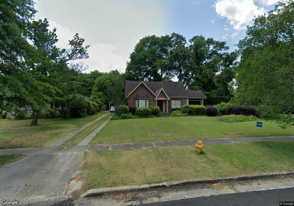
1508 Crest Dr Columbus, GA 31906
Wynns Hill NeighborhoodEstimated Value: $328,435 - $647,000
4
Beds
3
Baths
2,503
Sq Ft
$167/Sq Ft
Est. Value
About This Home
This home is located at 1508 Crest Dr, Columbus, GA 31906 and is currently estimated at $416,859, approximately $166 per square foot. 1508 Crest Dr is a home located in Muscogee County with nearby schools including Baker Middle School, Jordan Vocational High School, and Wynnton Elementary School.
Ownership History
Date
Name
Owned For
Owner Type
Purchase Details
Closed on
Jan 30, 2015
Sold by
Lamb Ann Moncus
Bought by
Lardizabal Jeffrey D
Current Estimated Value
Home Financials for this Owner
Home Financials are based on the most recent Mortgage that was taken out on this home.
Original Mortgage
$211,765
Outstanding Balance
$163,267
Interest Rate
3.94%
Mortgage Type
VA
Estimated Equity
$253,592
Purchase Details
Closed on
Oct 15, 2014
Sold by
Lamb James Denny
Bought by
Lamb Ann Moncus
Create a Home Valuation Report for This Property
The Home Valuation Report is an in-depth analysis detailing your home's value as well as a comparison with similar homes in the area
Home Values in the Area
Average Home Value in this Area
Purchase History
| Date | Buyer | Sale Price | Title Company |
|---|---|---|---|
| Lardizabal Jeffrey D | $205,000 | -- | |
| Lamb Ann Moncus | -- | -- |
Source: Public Records
Mortgage History
| Date | Status | Borrower | Loan Amount |
|---|---|---|---|
| Open | Lardizabal Jeffrey D | $211,765 |
Source: Public Records
Tax History
| Year | Tax Paid | Tax Assessment Tax Assessment Total Assessment is a certain percentage of the fair market value that is determined by local assessors to be the total taxable value of land and additions on the property. | Land | Improvement |
|---|---|---|---|---|
| 2025 | -- | $115,360 | $20,284 | $95,076 |
| 2024 | -- | $115,360 | $20,284 | $95,076 |
| 2023 | $0 | $115,360 | $20,284 | $95,076 |
| 2022 | $0 | $83,848 | $20,284 | $63,564 |
| 2021 | $0 | $83,036 | $20,284 | $62,752 |
| 2020 | $0 | $83,036 | $20,284 | $62,752 |
| 2019 | $80 | $83,036 | $20,284 | $62,752 |
| 2018 | $80 | $83,036 | $20,284 | $62,752 |
| 2017 | $3,413 | $83,036 | $20,284 | $62,752 |
| 2016 | $3,383 | $82,000 | $13,558 | $68,442 |
| 2015 | $1,708 | $82,180 | $13,558 | $68,622 |
| 2014 | $1,140 | $82,180 | $13,558 | $68,622 |
| 2013 | -- | $82,180 | $13,558 | $68,622 |
Source: Public Records
Map
Nearby Homes
- 865 Peachtree Dr
- 1701 Crest Dr
- 1001 Blandford Ave
- 911 Oakview Ave
- 1011 Blandford Ave
- 912 Magnolia Ave
- 1103 Martin Luther King Junior Blvd
- 2551 Wynnton Rd
- 752 Portland Ave
- 1500 E Dinglewood Dr
- 2005 7th St
- 745 Brown Ave
- 1242 18th Ave
- 1254 18th Ave
- 2211 8th St
- 2304 Willard St
- 2314 Heard St
- 1255 Cedar Ave Unit 6
- 1431 16th Ave
- 1228 Cedar Ave
- 1514 Crest Dr
- 817 Blandford Ave
- 817 Blandford Ave Unit A
- 817 Blandford Ave Unit 1
- 817 Blandford Ave Unit B
- 809 Blandford Ave
- 1518 Crest Dr
- 1505 Crest Dr
- 821 Blandford Ave
- 1515 Crest Dr
- 1524 Crest Dr
- 1523 Crest Dr
- 831 Blandford Ave
- 1417 Coffee Ct
- 1421 Coffee Ct
- 1413 Coffee Ct
- 836 Blandford Ave
- 709 Ragland Ct
- 705 Ragland Ct
- 801 Ragland Ct
Your Personal Tour Guide
Ask me questions while you tour the home.