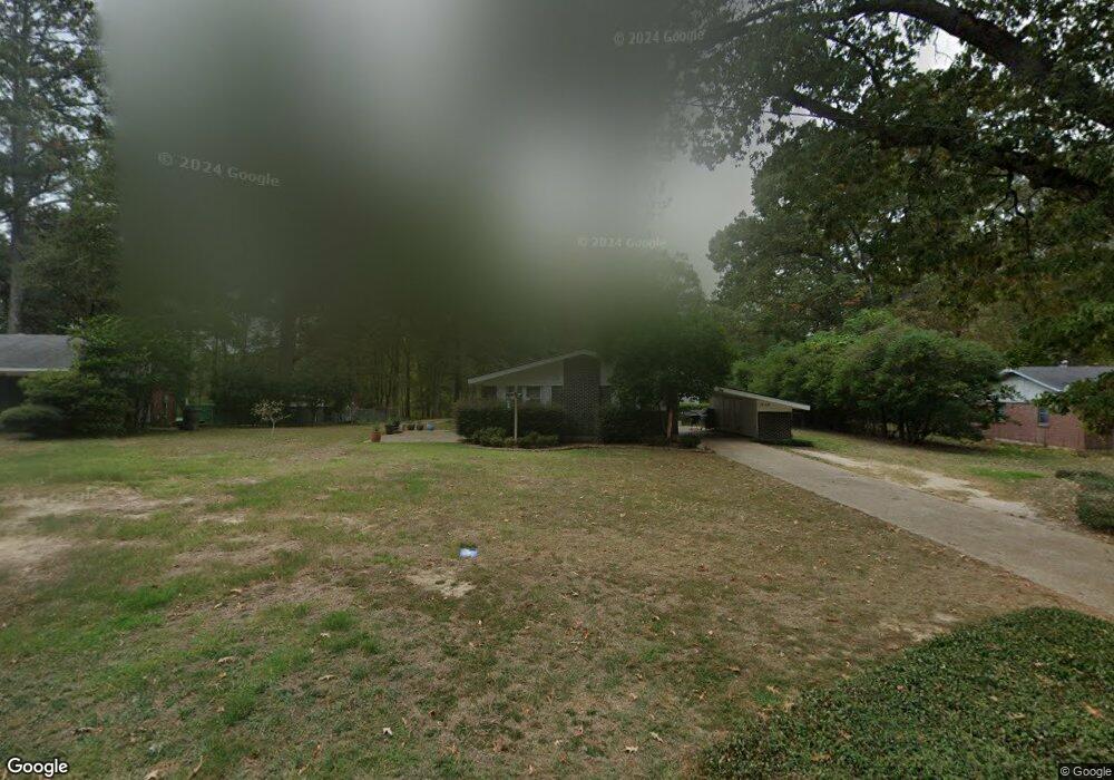
1508 Gordon Dr Ruston, LA 71270
Estimated Value: $217,917 - $270,000
3
Beds
2
Baths
1,512
Sq Ft
$162/Sq Ft
Est. Value
About This Home
This home is located at 1508 Gordon Dr, Ruston, LA 71270 and is currently estimated at $244,229, approximately $161 per square foot. 1508 Gordon Dr is a home located in Lincoln Parish with nearby schools including Hillcrest Elementary School, Ruston Elementary School, and Ruston Junior High School.
Ownership History
Date
Name
Owned For
Owner Type
Purchase Details
Closed on
Oct 23, 2013
Sold by
Bowen Warren Eric John and Bowen Rebecca Howard
Bought by
Christian Roger Jonathan and Christian Claire Roger
Current Estimated Value
Home Financials for this Owner
Home Financials are based on the most recent Mortgage that was taken out on this home.
Original Mortgage
$173,544
Outstanding Balance
$129,452
Interest Rate
4.62%
Mortgage Type
Unknown
Estimated Equity
$114,777
Create a Home Valuation Report for This Property
The Home Valuation Report is an in-depth analysis detailing your home's value as well as a comparison with similar homes in the area
Purchase History
| Date | Buyer | Sale Price | Title Company |
|---|---|---|---|
| Christian Roger Jonathan | $175,000 | Commonwealth Land Title Insu |
Source: Public Records
Mortgage History
| Date | Status | Borrower | Loan Amount |
|---|---|---|---|
| Open | Christian Roger Jonathan | $173,544 |
Source: Public Records
Tax History
| Year | Tax Paid | Tax Assessment Tax Assessment Total Assessment is a certain percentage of the fair market value that is determined by local assessors to be the total taxable value of land and additions on the property. | Land | Improvement |
|---|---|---|---|---|
| 2025 | $1,481 | $17,346 | $2,766 | $14,580 |
| 2024 | $1,481 | $17,347 | $2,766 | $14,581 |
| 2023 | $1,515 | $17,050 | $2,883 | $14,167 |
| 2022 | $1,523 | $17,050 | $2,883 | $14,167 |
| 2021 | $1,362 | $16,477 | $2,883 | $13,594 |
| 2020 | $1,249 | $15,029 | $2,883 | $12,146 |
| 2019 | $1,220 | $15,029 | $2,883 | $12,146 |
| 2018 | $1,187 | $15,029 | $2,883 | $12,146 |
| 2017 | $1,190 | $15,029 | $2,883 | $12,146 |
| 2016 | $1,186 | $0 | $0 | $0 |
| 2015 | $1,037 | $12,076 | $1,275 | $10,801 |
| 2013 | $1,075 | $12,318 | $1,275 | $11,043 |
Source: Public Records
Map
Nearby Homes
- 0 Gordon Dr
- 516 Glendale Dr
- 904 Sherwood Dr
- 1607 N Trenton St
- 1604 N Trenton St
- 1322 Cooktown Rd
- 1715 N Trenton St
- 902 Arnold St
- 218 Huey Ave
- 200 Pinecrest Dr
- 2158 Llangeler Dr
- 1201 Gains Ave
- 2210 Llangeler Dr
- 910 N Vienna St
- 901 Pennington Ln
- 1904 Mimosa Cir
- 542 Toma Lodge Dr
- 509 N Trenton St
- 316 Western St Unit 314 Western Street,
- 709 W Georgia Ave
- 1506 Gordon Dr
- 1510 Gordon Dr
- 1504 Gordon Dr
- 1505 Gordon Dr
- 1507 Gordon Dr
- 1503 Gordon Dr
- 1509 Gordon Dr
- 1502 Gordon Dr
- 1511 Gordon Dr
- 1520 Gordon Dr
- 1537 Gordon Dr
- 1539 Gordon Dr
- 610 Glendale Dr
- 700 Glendale Dr
- 1530 Gordon Dr
- 1515 Gordon Dr
- 1528 Gordon Dr
- 1535 Gordon Dr
- 1532 Gordon Dr
- 606 Glendale Dr
Your Personal Tour Guide
Ask me questions while you tour the home.