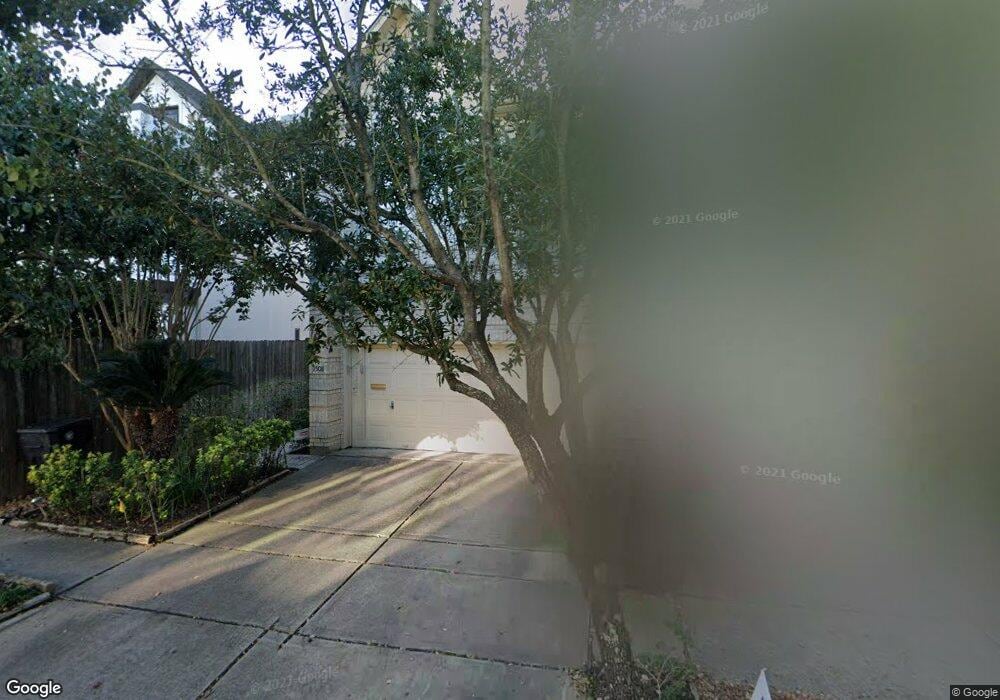
1508 Hazard St Houston, TX 77019
Montrose NeighborhoodEstimated Value: $632,159 - $796,000
3
Beds
3
Baths
2,601
Sq Ft
$271/Sq Ft
Est. Value
About This Home
This home is located at 1508 Hazard St, Houston, TX 77019 and is currently estimated at $705,040, approximately $271 per square foot. 1508 Hazard St is a home located in Harris County with nearby schools including Baker Montessori, Lanier Middle School, and Lamar High School.
Ownership History
Date
Name
Owned For
Owner Type
Purchase Details
Closed on
Oct 5, 2006
Sold by
Sirva Relocation Llc
Bought by
Wilkes Peter R and Dossett Anne P
Current Estimated Value
Purchase Details
Closed on
Sep 11, 2006
Sold by
Brownlee Fred and Brownlee De Ette
Bought by
Sirva Relocation Llc
Purchase Details
Closed on
Sep 24, 1998
Sold by
Calcote Tracy W
Bought by
Brownlee Fred and Brownlee De Ette
Home Financials for this Owner
Home Financials are based on the most recent Mortgage that was taken out on this home.
Original Mortgage
$263,200
Interest Rate
6.5%
Purchase Details
Closed on
Nov 10, 1995
Sold by
Perry Homes
Bought by
Calcote Tracy W
Home Financials for this Owner
Home Financials are based on the most recent Mortgage that was taken out on this home.
Original Mortgage
$203,150
Interest Rate
7.53%
Create a Home Valuation Report for This Property
The Home Valuation Report is an in-depth analysis detailing your home's value as well as a comparison with similar homes in the area
Home Values in the Area
Average Home Value in this Area
Purchase History
| Date | Buyer | Sale Price | Title Company |
|---|---|---|---|
| Wilkes Peter R | -- | Stewart Title Company | |
| Sirva Relocation Llc | -- | Stewart Title Company | |
| Brownlee Fred | -- | Commonwealth Land Title Co | |
| Calcote Tracy W | -- | Citizens Title Company |
Source: Public Records
Mortgage History
| Date | Status | Borrower | Loan Amount |
|---|---|---|---|
| Previous Owner | Brownlee Fred | $263,200 | |
| Previous Owner | Calcote Tracy W | $203,150 |
Source: Public Records
Tax History Compared to Growth
Tax History
| Year | Tax Paid | Tax Assessment Tax Assessment Total Assessment is a certain percentage of the fair market value that is determined by local assessors to be the total taxable value of land and additions on the property. | Land | Improvement |
|---|---|---|---|---|
| 2025 | $9,626 | $651,475 | $325,600 | $325,875 |
| 2024 | $9,626 | $649,597 | $325,600 | $323,997 |
| 2023 | $9,626 | $661,051 | $325,600 | $335,451 |
| 2022 | $12,303 | $558,745 | $325,600 | $233,145 |
| 2021 | $12,234 | $524,913 | $310,800 | $214,113 |
| 2020 | $12,219 | $504,590 | $310,800 | $193,790 |
| 2019 | $11,969 | $473,000 | $168,400 | $304,600 |
| 2018 | $9,056 | $460,000 | $168,400 | $291,600 |
| 2017 | $12,424 | $468,190 | $168,400 | $299,790 |
| 2016 | $13,002 | $490,000 | $168,400 | $321,600 |
| 2015 | $8,637 | $510,491 | $168,400 | $342,091 |
| 2014 | $8,637 | $447,006 | $147,350 | $299,656 |
Source: Public Records
Map
Nearby Homes
- 1509 Mcduffie St
- 1606 Hazard St
- 1510 Morse St
- 1606 Woodhead St
- 1201 Mcduffie St Unit 198
- 1712 Mcduffie St
- 1601 S Shepherd Dr Unit 20
- 1601 S Shepherd Dr Unit 29
- 1601 S Shepherd Dr Unit 138
- 1810 Hazard St Unit A
- 1711 Huldy St Unit A
- 1956 Vermont St
- 1822 Morse St Unit A
- 3711 Newhouse St
- 2105 Del Monte Dr
- 1914 W Gray St Unit 301
- 1025 S Shepherd Dr Unit 209
- 1906 Woodhead St
- 1909 Brun St Unit 17
- 1909 Brun St Unit 16
- 1506 Hazard St
- 1510 Hazard St
- 1504 Hazard St
- 1514 Hazard St Unit B
- 1514 Hazard St Unit A
- 1514A Hazard St
- 1502 Hazard St
- 1507 Mcduffie St
- 1505 Mcduffie St
- 1511 Mcduffie St
- 1501 Mcduffie St
- 1967 Peden St
- 1513 Mcduffie St
- 1505A Mcduffie St
- 1503 Mcduffie St Unit UP 1503
- 1503 Mcduffie St
- 1515 Mcduffie St
- 1600 Hazard St
- 1969 Peden St
- 1511 Hazard St