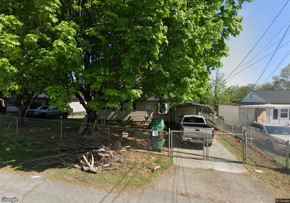
1508 Jones St Morristown, TN 37813
Estimated Value: $183,000 - $212,000
3
Beds
1
Bath
925
Sq Ft
$214/Sq Ft
Est. Value
About This Home
This home is located at 1508 Jones St, Morristown, TN 37813 and is currently estimated at $198,361, approximately $214 per square foot. 1508 Jones St is a home located in Hamblen County with nearby schools including Lincoln Heights Elementary School, Lincoln Heights Middle School, and Morristown West High School.
Ownership History
Date
Name
Owned For
Owner Type
Purchase Details
Closed on
May 8, 2024
Sold by
Emmas Asian 1 Inc
Bought by
Wyatt James
Current Estimated Value
Home Financials for this Owner
Home Financials are based on the most recent Mortgage that was taken out on this home.
Original Mortgage
$189,000
Outstanding Balance
$184,245
Interest Rate
4%
Mortgage Type
VA
Estimated Equity
$14,116
Purchase Details
Closed on
Mar 10, 2022
Sold by
Douglas Henry Deborah Jean
Bought by
Emmas Asian 1 Inc
Purchase Details
Closed on
Dec 31, 1971
Bought by
Douglas Rubin H
Create a Home Valuation Report for This Property
The Home Valuation Report is an in-depth analysis detailing your home's value as well as a comparison with similar homes in the area
Home Values in the Area
Average Home Value in this Area
Purchase History
| Date | Buyer | Sale Price | Title Company |
|---|---|---|---|
| Wyatt James | $189,000 | Blue Ridge Title | |
| Emmas Asian 1 Inc | $128,000 | Lakeway Title Services | |
| Douglas Rubin H | -- | -- |
Source: Public Records
Mortgage History
| Date | Status | Borrower | Loan Amount |
|---|---|---|---|
| Open | Wyatt James | $189,000 |
Source: Public Records
Tax History Compared to Growth
Tax History
| Year | Tax Paid | Tax Assessment Tax Assessment Total Assessment is a certain percentage of the fair market value that is determined by local assessors to be the total taxable value of land and additions on the property. | Land | Improvement |
|---|---|---|---|---|
| 2024 | $277 | $15,750 | $2,750 | $13,000 |
| 2023 | $277 | $15,750 | $0 | $0 |
| 2022 | $277 | $15,750 | $2,750 | $13,000 |
| 2021 | $260 | $15,750 | $2,750 | $13,000 |
| 2020 | $260 | $15,750 | $2,750 | $13,000 |
| 2019 | $482 | $14,800 | $2,675 | $12,125 |
| 2018 | $445 | $14,800 | $2,675 | $12,125 |
| 2017 | $438 | $14,800 | $2,675 | $12,125 |
| 2016 | $438 | $14,800 | $2,675 | $12,125 |
| 2015 | $408 | $14,800 | $2,675 | $12,125 |
| 2014 | -- | $14,800 | $2,675 | $12,125 |
| 2013 | -- | $16,975 | $0 | $0 |
Source: Public Records
Map
Nearby Homes
- 440 S Fairmont Ave
- 837 Pauline Ave
- 203 Lincoln Ave
- 731 Lennie Ave
- 1530 Rayburn Dr
- 900 Baird Ave
- 1476 Darbee Dr
- 816 W 2nd St N
- 1211 W 6th St N
- 1002 Watercrest St
- 722 W 2nd St N
- 323 Pauline Ave
- 811 Crescent St
- Darwin Plan at Southwood
- Penwell Plan at Southwood
- Elston Plan at Southwood
- Robie Plan at Southwood
- Cali Plan at Southwood
- Belhaven Plan at Southwood
- 2024 Southwood Cir
- 1508 Jones St
- 1516 Jones St
- 1504 Jones St
- 1520 Jones St
- 1515 Godwin St
- 604 S Fairmont Ave
- 1511 Jones St
- 1521 Godwin St
- 1517 Jones St
- 1503 Jones St
- 1528 Jones St
- 607 S Fairmont Ave
- 1521 Jones St
- 615 S Fairmont Ave
- 617 S Fairmont Ave
- 1529 Godwin St
- 625 S Fairmont Ave
- 1534 Jones St
- 1529 Jones St
- 1533 Godwin St