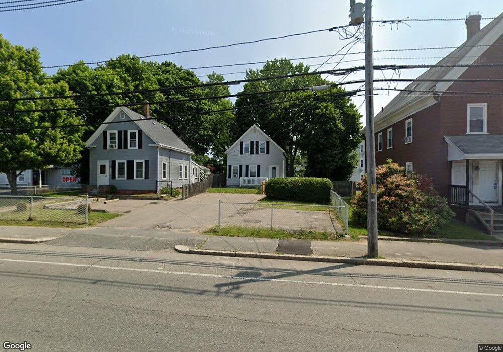
1508 Main St Brockton, MA 02301
Campello NeighborhoodEstimated Value: $382,000 - $497,000
3
Beds
1
Bath
1,040
Sq Ft
$402/Sq Ft
Est. Value
About This Home
This home is located at 1508 Main St, Brockton, MA 02301 and is currently estimated at $418,286, approximately $402 per square foot. 1508 Main St is a home located in Plymouth County with nearby schools including Davis K-8 School, John F. Kennedy Elementary School, and South Middle School.
Ownership History
Date
Name
Owned For
Owner Type
Purchase Details
Closed on
Jan 22, 2009
Sold by
Smith Stephen G
Bought by
Echeverria Luis
Current Estimated Value
Purchase Details
Closed on
Apr 15, 2003
Sold by
Quinlan Eric L and Quinlan Eric Lee
Bought by
Smith Stephen G
Purchase Details
Closed on
Jun 30, 1995
Sold by
Jec Rt
Bought by
Quinlan Eric L
Create a Home Valuation Report for This Property
The Home Valuation Report is an in-depth analysis detailing your home's value as well as a comparison with similar homes in the area
Home Values in the Area
Average Home Value in this Area
Purchase History
| Date | Buyer | Sale Price | Title Company |
|---|---|---|---|
| Echeverria Luis | $79,000 | -- | |
| Smith Stephen G | $170,000 | -- | |
| Quinlan Eric L | $62,697 | -- |
Source: Public Records
Mortgage History
| Date | Status | Borrower | Loan Amount |
|---|---|---|---|
| Open | Quinlan Eric L | $87,750 |
Source: Public Records
Tax History Compared to Growth
Tax History
| Year | Tax Paid | Tax Assessment Tax Assessment Total Assessment is a certain percentage of the fair market value that is determined by local assessors to be the total taxable value of land and additions on the property. | Land | Improvement |
|---|---|---|---|---|
| 2025 | $3,935 | $324,900 | $134,400 | $190,500 |
| 2024 | $3,771 | $313,700 | $134,400 | $179,300 |
| 2023 | $3,636 | $280,100 | $101,000 | $179,100 |
| 2022 | $3,604 | $258,000 | $91,500 | $166,500 |
| 2021 | $3,099 | $213,700 | $75,500 | $138,200 |
| 2020 | $2,874 | $189,700 | $71,400 | $118,300 |
| 2019 | $2,628 | $169,100 | $68,700 | $100,400 |
| 2018 | $12,404 | $168,700 | $68,700 | $100,000 |
| 2017 | $2,365 | $146,900 | $68,700 | $78,200 |
| 2016 | $2,387 | $137,500 | $66,500 | $71,000 |
| 2015 | $1,922 | $105,900 | $66,500 | $39,400 |
| 2014 | $1,822 | $100,500 | $66,500 | $34,000 |
Source: Public Records
Map
Nearby Homes
- 35 Longworth Ave Unit 17
- 15 Longworth Ave Unit 231
- 163 S Leyden St
- 358 Copeland St
- 47 Southworth St
- 223 Clinton St Unit 10
- 223 Clinton St Unit 3
- 115 Market St
- 13 Finny's Way
- 65 Tremont St
- 44 Baker St
- 15 Fieldstone Dr
- 977 Warren Ave
- 1 Fairway Dr
- 103 Clinton St
- 936 Warren Ave
- 112 Hillside Ave
- 34 Carl Ave
- 122 Sinclair Rd
- 54 Ferris Ave
- 1502 Main St
- 1512 Main St
- 1 Watson St
- 1490 Main St
- 13 Watson St
- 16 Holmes St
- 11 Holmes St
- 11 Holmes St Unit 3
- 11 Holmes St Unit 2
- 11 Holmes St Unit 1
- 17 Holmes St
- 10 Watson St
- 19 Watson St
- 15 Holmes St
- 24 Holmes St
- 19 Holmes St
- 19 Holmes St Unit 2
- 19 Holmes St Unit 1
- 12 Watson St Unit 3
- 12 Watson St Unit 2