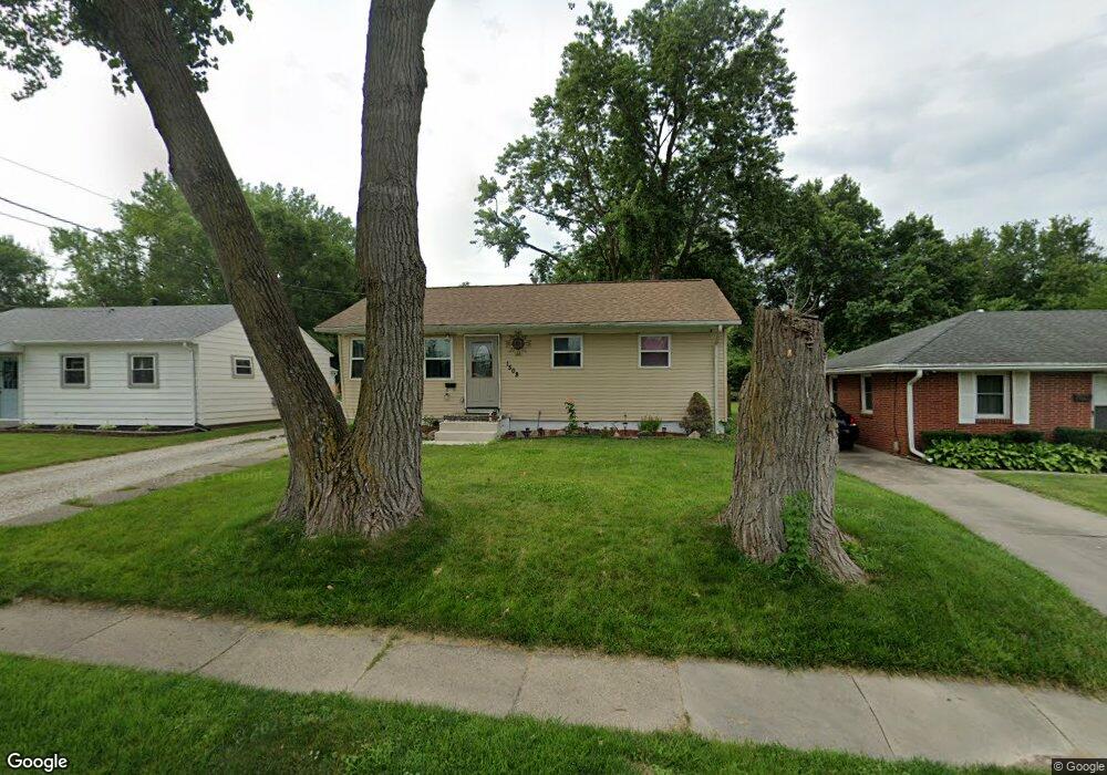
1508 Porter Ave Des Moines, IA 50315
Watrous South NeighborhoodEstimated Value: $190,392 - $211,000
3
Beds
1
Bath
864
Sq Ft
$235/Sq Ft
Est. Value
About This Home
This home is located at 1508 Porter Ave, Des Moines, IA 50315 and is currently estimated at $202,848, approximately $234 per square foot. 1508 Porter Ave is a home located in Polk County with nearby schools including Wright Elementary School, Brody Middle School, and Lincoln High School.
Ownership History
Date
Name
Owned For
Owner Type
Purchase Details
Closed on
Nov 12, 2007
Sold by
Spencer Mike J and Spencer Angela M
Bought by
Rodriguez Ramiro
Current Estimated Value
Home Financials for this Owner
Home Financials are based on the most recent Mortgage that was taken out on this home.
Original Mortgage
$115,000
Outstanding Balance
$72,693
Interest Rate
6.45%
Mortgage Type
Purchase Money Mortgage
Estimated Equity
$130,155
Purchase Details
Closed on
Jun 14, 2002
Sold by
Stewart Family Trust
Bought by
Ballinger Gene D and Ballinger Judith A
Purchase Details
Closed on
Apr 18, 2000
Sold by
King Robert L
Bought by
Spencer Mike J
Home Financials for this Owner
Home Financials are based on the most recent Mortgage that was taken out on this home.
Original Mortgage
$81,592
Interest Rate
8.22%
Mortgage Type
FHA
Create a Home Valuation Report for This Property
The Home Valuation Report is an in-depth analysis detailing your home's value as well as a comparison with similar homes in the area
Home Values in the Area
Average Home Value in this Area
Purchase History
| Date | Buyer | Sale Price | Title Company |
|---|---|---|---|
| Rodriguez Ramiro | $116,500 | Itc | |
| Ballinger Gene D | $34,500 | -- | |
| Spencer Mike J | $81,500 | -- |
Source: Public Records
Mortgage History
| Date | Status | Borrower | Loan Amount |
|---|---|---|---|
| Open | Rodriguez Ramiro | $115,000 | |
| Previous Owner | Spencer Mike J | $81,592 |
Source: Public Records
Tax History Compared to Growth
Tax History
| Year | Tax Paid | Tax Assessment Tax Assessment Total Assessment is a certain percentage of the fair market value that is determined by local assessors to be the total taxable value of land and additions on the property. | Land | Improvement |
|---|---|---|---|---|
| 2025 | $3,004 | $171,400 | $32,500 | $138,900 |
| 2024 | $3,004 | $163,200 | $30,400 | $132,800 |
| 2023 | $2,866 | $163,200 | $30,400 | $132,800 |
| 2022 | $2,842 | $130,500 | $25,300 | $105,200 |
| 2021 | $2,772 | $130,500 | $25,300 | $105,200 |
| 2020 | $2,874 | $119,700 | $23,000 | $96,700 |
| 2019 | $2,644 | $119,700 | $23,000 | $96,700 |
| 2018 | $2,612 | $106,900 | $20,100 | $86,800 |
| 2017 | $2,444 | $106,900 | $20,100 | $86,800 |
| 2016 | $2,376 | $98,900 | $18,200 | $80,700 |
| 2015 | $2,376 | $98,900 | $18,200 | $80,700 |
| 2014 | $2,230 | $96,000 | $17,300 | $78,700 |
Source: Public Records
Map
Nearby Homes
- 1616 Porter Ave
- 1616 Southlawn Dr
- 1401 Cutler Ave
- 1810 Porter Ave
- 1419 Payton Ave
- 1304 Wall Ave
- 1605 Frazier Ave
- 5120 SW 14th St
- 6001 SW 13th Place
- 5410 SW 20th St
- 5013 SW 16th St
- 6107 SW 14th St
- 1207 Kenyon Ave
- 1210 Highview Dr
- 1500 Leland Ave
- 1310 Leland Ave
- 1243 Hackley Ave
- 4916 SW 13th St
- 1010 Frederick Ave
- 4710 SW 16th St
- 1504 Porter Ave
- 1514 Porter Ave
- 1500 Porter Ave
- 1520 Porter Ave
- 1432 Porter Ave
- 1515 Southlawn Dr
- 5433 SW 16th St
- 1519 Southlawn Dr
- 1511 Southlawn Dr
- 5538 SW 15th St
- 1600 Porter Ave
- 1609 Southlawn Dr
- 1424 Porter Ave
- 1507 Southlawn Dr
- 5429 SW 16th St
- 5530 SW 15th St
- 1611 Southlawn Dr
- 1608 Porter Ave
- 1503 Southlawn Dr
- 5515 SW 15th St