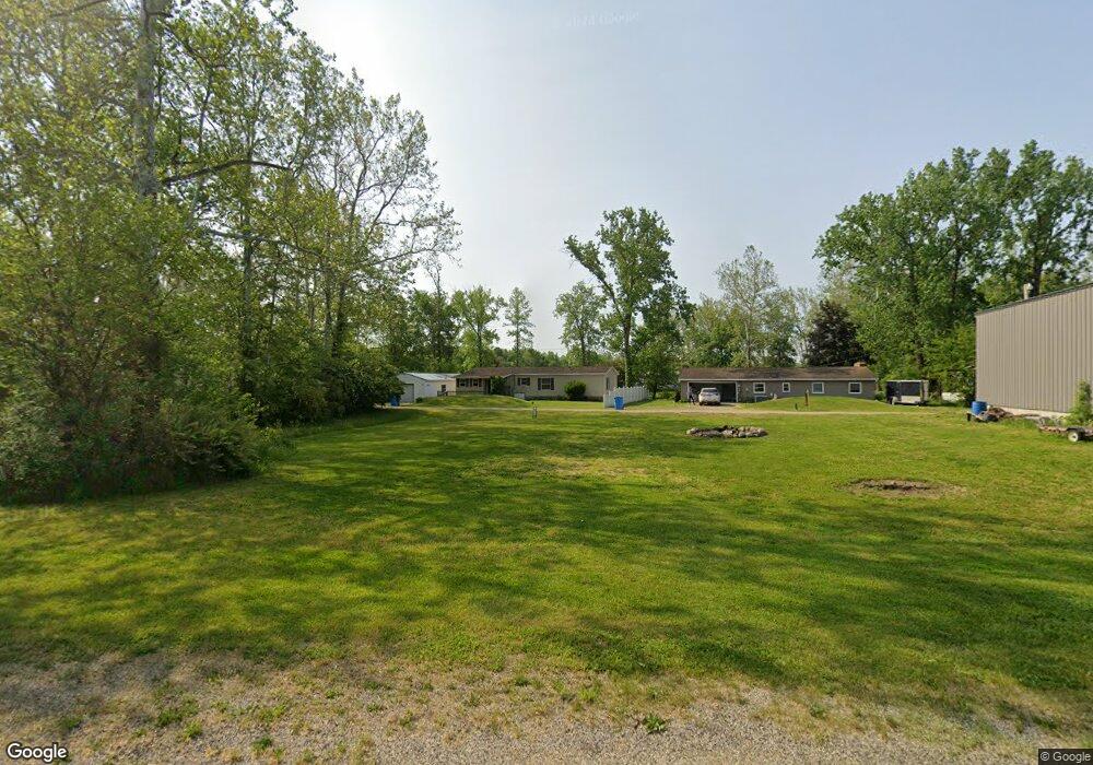
15083 Roberts Shore Dr Constantine, MI 49042
Estimated Value: $231,000 - $255,000
3
Beds
2
Baths
1,200
Sq Ft
$200/Sq Ft
Est. Value
About This Home
This home is located at 15083 Roberts Shore Dr, Constantine, MI 49042 and is currently estimated at $240,490, approximately $200 per square foot. 15083 Roberts Shore Dr is a home located in St. Joseph County with nearby schools including Eastside Elementary School, Riverside Elementary School, and Constantine Middle School.
Ownership History
Date
Name
Owned For
Owner Type
Purchase Details
Closed on
Jan 18, 2012
Sold by
Bowling Robert F
Bought by
Bowling Robert F and Robert F Bowling Revocable Tru
Current Estimated Value
Purchase Details
Closed on
Mar 6, 2007
Sold by
Rissky Raymond
Bought by
Bowling Robert F
Home Financials for this Owner
Home Financials are based on the most recent Mortgage that was taken out on this home.
Original Mortgage
$74,400
Outstanding Balance
$45,083
Interest Rate
6.28%
Mortgage Type
Purchase Money Mortgage
Estimated Equity
$195,407
Purchase Details
Closed on
Aug 21, 1999
Sold by
Rissky Raymond and Rissky Eilene
Bought by
Rissky Raymond
Purchase Details
Closed on
Dec 14, 1987
Sold by
Cannon Carl W and Cannon Anita L
Bought by
Rissky Raymond and Rissky Eilene
Create a Home Valuation Report for This Property
The Home Valuation Report is an in-depth analysis detailing your home's value as well as a comparison with similar homes in the area
Purchase History
| Date | Buyer | Sale Price | Title Company |
|---|---|---|---|
| Bowling Robert F | -- | None Available | |
| Bowling Robert F | $93,000 | Chicago Title Sturgis | |
| Rissky Raymond | -- | -- | |
| Rissky Raymond | $7,500 | -- |
Source: Public Records
Mortgage History
| Date | Status | Borrower | Loan Amount |
|---|---|---|---|
| Open | Bowling Robert F | $74,400 |
Source: Public Records
Tax History
| Year | Tax Paid | Tax Assessment Tax Assessment Total Assessment is a certain percentage of the fair market value that is determined by local assessors to be the total taxable value of land and additions on the property. | Land | Improvement |
|---|---|---|---|---|
| 2025 | $599 | $118,500 | $8,200 | $110,300 |
| 2024 | $582 | $102,200 | $8,200 | $94,000 |
| 2023 | $555 | $89,100 | $8,200 | $80,900 |
| 2022 | $0 | $84,300 | $8,200 | $76,100 |
| 2021 | $1,205 | $73,100 | $7,500 | $65,600 |
| 2020 | $506 | $64,300 | $7,500 | $56,800 |
| 2019 | $1,378 | $58,100 | $7,500 | $50,600 |
| 2018 | $1,288 | $54,600 | $7,500 | $47,100 |
| 2017 | $1,250 | $49,000 | $49,000 | $0 |
| 2016 | -- | $49,200 | $49,200 | $0 |
| 2015 | -- | $48,500 | $0 | $0 |
| 2014 | -- | $44,900 | $44,900 | $0 |
| 2012 | -- | $42,400 | $42,400 | $0 |
Source: Public Records
Map
Nearby Homes
- 64588 W North Park Dr
- 303 Spring St
- 130 E Water St
- 380 Centreville Rd
- 265 W Water St
- 135 Jeremy St
- 640 S Washington St
- 120 Plum St
- 12901 Millers Mill Rd
- 63779 Youngs Prairie Rd
- 14308 Garber Rd
- 67234 Blue School Rd
- 13072 Garber Rd
- 66991 Winding River Rd
- 67118 Oxbow Dr
- 106 Prairie Ave
- 211 U S 131 Hwy
- 501 U S 131 Unit 81
- 0 Shorewood Dr Unit Lot 2
- 200 E Chicago Rd
- 15051 Roberts Shore Dr
- 15071 Roberts Shore Dr
- 14936 Roberts Shore Dr
- 14936 Roberts Shore Dr
- 14941 Roberts Shore Dr
- 64919 Us Highway 131 N
- 15012 Roberts Shore Dr
- 14971 Roberts Shore Dr
- 14919 Roberts Shore Dr
- 14970 Roberts Shore Dr
- 0 Diane Dr
- 14946 Diane Dr
- 64940 Us Highway 131 N
- 64928 Us Highway 131 N
- 64928 Us Highway 131 N
- 14960 Diane Dr
- 15021 Diane Dr
- 64869 Us Highway 131 N
- 15029 Roberts Shore Dr
- 15002 Diane Dr
Your Personal Tour Guide
Ask me questions while you tour the home.