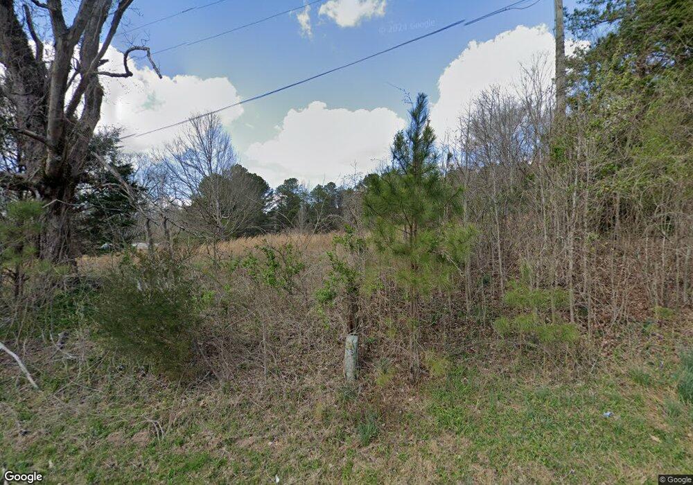
1509 Center Grove Rd Rock Spring, GA 30739
Rock Spring NeighborhoodEstimated Value: $99,000 - $111,000
--
Bed
--
Bath
--
Sq Ft
7
Acres
About This Home
This home is located at 1509 Center Grove Rd, Rock Spring, GA 30739 and is currently estimated at $104,196. 1509 Center Grove Rd is a home with nearby schools including Rock Spring Elementary School, Lafayette High School, and Alice M Daley Adventist School.
Ownership History
Date
Name
Owned For
Owner Type
Purchase Details
Closed on
May 27, 2025
Sold by
Sheeley Henry A
Bought by
Witt Bryson
Current Estimated Value
Home Financials for this Owner
Home Financials are based on the most recent Mortgage that was taken out on this home.
Original Mortgage
$95,000
Outstanding Balance
$94,534
Interest Rate
8.35%
Mortgage Type
New Conventional
Estimated Equity
$9,662
Purchase Details
Closed on
Jul 29, 2021
Sold by
Sheeley Pamela H
Bought by
Sheeley Pamela H and Sheeley Henry A
Purchase Details
Closed on
Mar 14, 1995
Sold by
Hale Mildred R and Hale Christine R
Bought by
Hale Alvin C and Hale Mildred R
Purchase Details
Closed on
May 16, 1994
Sold by
Richardson J Y Mrs
Bought by
Hale Mildred R and Hale Christine R
Purchase Details
Closed on
Jan 1, 1972
Bought by
Richardson J Y Mrs
Create a Home Valuation Report for This Property
The Home Valuation Report is an in-depth analysis detailing your home's value as well as a comparison with similar homes in the area
Home Values in the Area
Average Home Value in this Area
Purchase History
| Date | Buyer | Sale Price | Title Company |
|---|---|---|---|
| Witt Bryson | $100,000 | -- | |
| Sheeley Pamela H | -- | -- | |
| Hale Alvin C | -- | -- | |
| Hale Mildred R | -- | -- | |
| Richardson J Y Mrs | -- | -- |
Source: Public Records
Mortgage History
| Date | Status | Borrower | Loan Amount |
|---|---|---|---|
| Open | Witt Bryson | $95,000 |
Source: Public Records
Tax History Compared to Growth
Tax History
| Year | Tax Paid | Tax Assessment Tax Assessment Total Assessment is a certain percentage of the fair market value that is determined by local assessors to be the total taxable value of land and additions on the property. | Land | Improvement |
|---|---|---|---|---|
| 2024 | $590 | $29,029 | $28,642 | $387 |
| 2023 | $479 | $23,118 | $22,731 | $387 |
| 2022 | $588 | $25,329 | $24,942 | $387 |
| 2021 | $654 | $25,449 | $24,942 | $507 |
| 2020 | $679 | $25,449 | $24,942 | $507 |
| 2019 | $693 | $25,449 | $24,942 | $507 |
| 2018 | $660 | $24,942 | $24,942 | $0 |
| 2017 | $747 | $24,942 | $24,942 | $0 |
| 2016 | $610 | $24,942 | $24,942 | $0 |
| 2015 | $566 | $21,736 | $21,736 | $0 |
| 2014 | $548 | $21,736 | $21,736 | $0 |
| 2013 | -- | $21,736 | $21,736 | $0 |
Source: Public Records
Map
Nearby Homes
- 0 Tarvin Rd Unit 1523862
- 0 Veeler Rd Unit 1522679
- 0 Veeler Rd Unit 10628696
- 10180 Us Highway 27
- 0 Clyde Byrd Rd
- 23 Willow Cir
- 15 Willow Cir
- 16 Willow Cir
- 11 Willow Cir
- The Pearson Plan at Laurel Ridge
- The Benson II Plan at Laurel Ridge
- The Langford Plan at Laurel Ridge
- The Lawson Plan at Laurel Ridge
- The Piedmont Plan at Laurel Ridge
- The Coleman Plan at Laurel Ridge
- The McGinnis Plan at Laurel Ridge
- The Caldwell Plan at Laurel Ridge
- 5602 Georgia 95
- 00 Georgia 95
- 1411 Center Grove Rd
- 1480 Center Grove Rd
- 1618 Center Grove Rd
- 950 Hankins Rd
- 1656 Center Grove Rd
- 945 Hankins Rd
- 1703 Center Grove Rd
- 1720 Center Grove Rd
- 1677 Center Grove Rd
- 778 Hankins Rd
- 1131 Center Grove Rd
- 737 Hankins Rd
- 1786 Center Grove Rd
- 851 Hankins Rd
- 601 Center Grove Rd
- 837 Center Grove Rd
- 519 Center Grove Rd
- 801 Center Grove Rd
- 95 Highway
- 1839 Center Grove Rd
