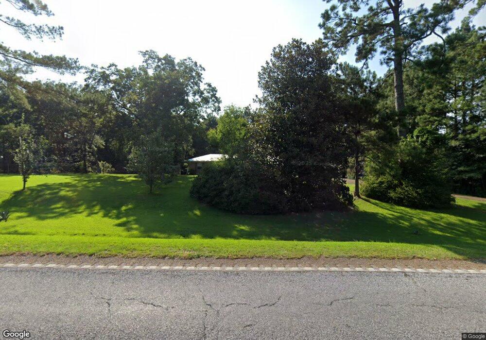
1509 Highway 27 Jayess, MS 39641
Estimated Value: $112,412 - $254,000
Studio
1
Bath
1,462
Sq Ft
$114/Sq Ft
Est. Value
About This Home
This home is located at 1509 Highway 27, Jayess, MS 39641 and is currently estimated at $166,353, approximately $113 per square foot. 1509 Highway 27 is a home located in Lawrence County with nearby schools including Topeka Tilton Attendance Center and Lawrence County High School.
Ownership History
Date
Name
Owned For
Owner Type
Purchase Details
Closed on
Jul 16, 2012
Sold by
Norton Albert N and Norton Brenda D
Bought by
Herring Brett W and Herring Tammy M
Current Estimated Value
Home Financials for this Owner
Home Financials are based on the most recent Mortgage that was taken out on this home.
Original Mortgage
$82,478
Outstanding Balance
$56,864
Interest Rate
3.72%
Mortgage Type
New Conventional
Estimated Equity
$109,489
Purchase Details
Closed on
Sep 22, 2006
Sold by
Rutland M Jerry and Rutland Otis
Bought by
Norton Albert N and Norton Brenda D
Create a Home Valuation Report for This Property
The Home Valuation Report is an in-depth analysis detailing your home's value as well as a comparison with similar homes in the area
Purchase History
| Date | Buyer | Sale Price | Title Company |
|---|---|---|---|
| Herring Brett W | -- | -- | |
| Norton Albert N | -- | -- |
Source: Public Records
Mortgage History
| Date | Status | Borrower | Loan Amount |
|---|---|---|---|
| Open | Herring Brett W | $82,478 |
Source: Public Records
Tax History
| Year | Tax Paid | Tax Assessment Tax Assessment Total Assessment is a certain percentage of the fair market value that is determined by local assessors to be the total taxable value of land and additions on the property. | Land | Improvement |
|---|---|---|---|---|
| 2025 | $522 | $6,344 | $0 | $0 |
| 2024 | $5 | $6,065 | $0 | $0 |
| 2023 | $504 | $6,065 | $0 | $0 |
| 2022 | $501 | $6,065 | $0 | $0 |
| 2021 | $466 | $5,899 | $0 | $0 |
| 2020 | $463 | $5,822 | $0 | $0 |
| 2019 | $447 | $5,822 | $0 | $0 |
| 2018 | $439 | $5,822 | $0 | $0 |
| 2017 | $439 | $5,822 | $0 | $0 |
| 2016 | $436 | $5,851 | $0 | $0 |
| 2015 | $398 | $5,851 | $0 | $0 |
| 2014 | $398 | $5,851 | $0 | $0 |
Source: Public Records
Map
Nearby Homes
- 299 Robert Tynes Rd
- 299 Bismark Rd
- 1321 Mississippi 44
- 11 Carsey Ln
- 1111 Carmel-New Hope Rd
- 1111 Rd
- 91 Trace Rd
- 722 Holmesville Rd
- 163 Reid Givens Rd
- 0 Light Plant Rd
- 0 Light Plant Rd Unit LotWP001
- 0 Highway 44 Unit LotWP001
- 23 Woodie Ln
- 1510 Carmel New Hope Rd
- 92 Price Rd
- 5575 Robin Wood Rd
- 81 Henry Cox Rd
- 23 Topeka Jayess Rd
- 74 Timberlane Rd
- 3001 Mallalieu Dr
- 1509 Highway 27
- 1509 Hwy 27s
- 1497 Highway 27
- 1497 Highway 27
- 1497 Mississippi 27
- 1518 Mississippi 27
- 1526 Highway 27
- 1526 Mississippi 27
- 1484 Highway 27
- 1484 Highway 27
- 1464 Highway 27
- 1457 Highway 27
- 1564 Highway 27
- 13 Troy Wallace Ln
- 21 Troy Wallace Ln
- 25 Kary Lambert Ln
- 17 Kary Lambert Ln
- 61 Troy Wallace Ln
- 1586 Highway 27
- 1550 Highway 27
Your Personal Tour Guide
Ask me questions while you tour the home.
