15090 Handle Rd Colorado Springs, CO 80930
Estimated Value: $427,825 - $774,000
3
Beds
2
Baths
1,708
Sq Ft
$367/Sq Ft
Est. Value
About This Home
This home is located at 15090 Handle Rd, Colorado Springs, CO 80930 and is currently estimated at $626,942, approximately $367 per square foot. 15090 Handle Rd is a home located in El Paso County with nearby schools including Ellicott Elementary School, Ellicott Middle School, and Ellicott Senior High School.
Ownership History
Date
Name
Owned For
Owner Type
Purchase Details
Closed on
May 29, 2007
Sold by
Hannahan James M and Hannahan Elva L
Bought by
Alvarado Enrique and Alvarado Sandra R
Current Estimated Value
Home Financials for this Owner
Home Financials are based on the most recent Mortgage that was taken out on this home.
Original Mortgage
$347,000
Outstanding Balance
$212,097
Interest Rate
6.17%
Mortgage Type
Unknown
Estimated Equity
$414,845
Purchase Details
Closed on
Aug 23, 2001
Sold by
Burnside Stephen J and Burnside Carol Lea
Bought by
Hannahan James M and Hannahan Elva L
Home Financials for this Owner
Home Financials are based on the most recent Mortgage that was taken out on this home.
Original Mortgage
$228,000
Interest Rate
7.16%
Mortgage Type
Balloon
Create a Home Valuation Report for This Property
The Home Valuation Report is an in-depth analysis detailing your home's value as well as a comparison with similar homes in the area
Home Values in the Area
Average Home Value in this Area
Purchase History
| Date | Buyer | Sale Price | Title Company |
|---|---|---|---|
| Alvarado Enrique | $410,000 | Security Title | |
| Hannahan James M | $285,000 | Stewart Title |
Source: Public Records
Mortgage History
| Date | Status | Borrower | Loan Amount |
|---|---|---|---|
| Open | Alvarado Enrique | $347,000 | |
| Previous Owner | Hannahan James M | $228,000 |
Source: Public Records
Tax History Compared to Growth
Tax History
| Year | Tax Paid | Tax Assessment Tax Assessment Total Assessment is a certain percentage of the fair market value that is determined by local assessors to be the total taxable value of land and additions on the property. | Land | Improvement |
|---|---|---|---|---|
| 2025 | $508 | $35,220 | -- | -- |
| 2024 | $373 | $13,460 | $720 | $12,740 |
| 2023 | $373 | $13,460 | $720 | $12,740 |
| 2022 | $668 | $12,520 | $720 | $11,800 |
| 2021 | $630 | $12,910 | $770 | $12,140 |
| 2020 | $553 | $10,700 | $750 | $9,950 |
| 2019 | $549 | $10,700 | $750 | $9,950 |
| 2018 | $522 | $9,780 | $730 | $9,050 |
| 2017 | $570 | $9,780 | $730 | $9,050 |
| 2016 | $589 | $10,020 | $750 | $9,270 |
| 2015 | $586 | $10,020 | $750 | $9,270 |
| 2014 | $558 | $9,430 | $720 | $8,710 |
Source: Public Records
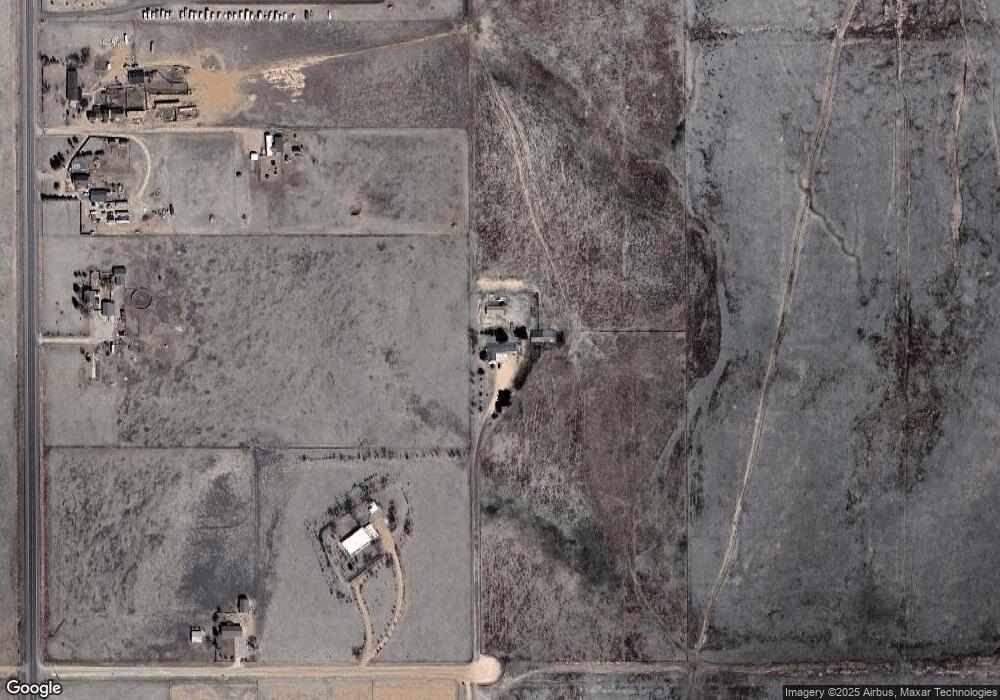
Map
Nearby Homes
- 75 N Curtis Rd Unit 45
- 740 Donald Rd
- 1155 Donald Rd
- 1185 N Curtis Rd
- 1355 Houseman Rd
- 9475 N Curtis Rd
- 625 Slocum Rd
- 15530 Amo Rd
- 2115 Terri Lee Dr
- 2120 Terri Lee Dr
- 0 Kennedy Rd
- 2265 Terri Lee Dr
- 2955 Hoofprint Rd
- 2940 Hoofprint Rd
- 2105 Slocum Rd
- 12325 Prairie Sun Point
- 905 Engleby Dr
- 2550 Slocum Rd
- 3575 Hare Haven Ln
- 3650 Hare Haven Ln
- 14870 Handle Rd
- 305 S Curtis Rd
- 285 S Curtis Rd
- 195 S Curtis Rd
- 75 S Curtis Rd
- 14985 Handle Rd
- 95 S Curtis Rd
- 595 S Curtis Rd
- 45 S Curtis Rd Unit 45
- 65 N Curtis Rd
- 75 N Curtis Rd Unit 16
- 75 N Curtis Rd Unit 44
- 75 N Curtis Rd Unit 19
- 75 N Curtis Rd Unit 12
- 75 N Curtis Rd Unit 3
- 75 N Curtis Rd Unit 35
- 75 N Curtis Rd
- 705 S Curtis Rd
- 15225 State Highway 94
- 815 S Curtis Rd