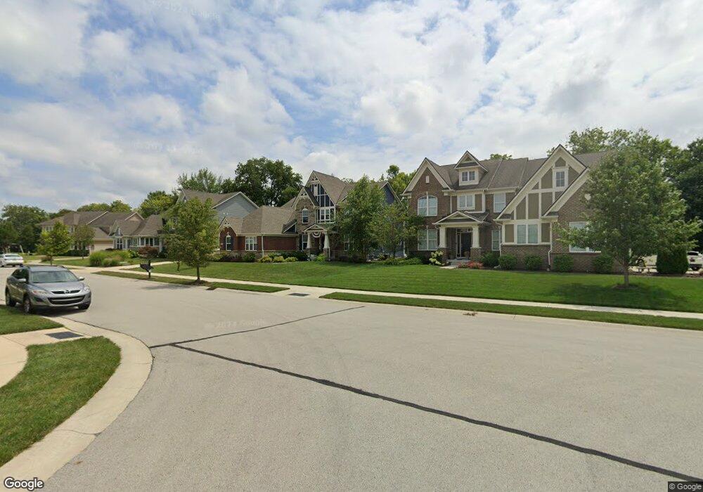
15097 Dennison Dr S Fishers, IN 46037
Estimated Value: $580,000 - $679,000
3
Beds
3
Baths
2,968
Sq Ft
$214/Sq Ft
Est. Value
About This Home
This home is located at 15097 Dennison Dr S, Fishers, IN 46037 and is currently estimated at $634,485, approximately $213 per square foot. 15097 Dennison Dr S is a home with nearby schools including Overland Park Elementary School, Southeastern Elementary School, and Hamilton Southeastern Intermediate / Junior High.
Ownership History
Date
Name
Owned For
Owner Type
Purchase Details
Closed on
Oct 26, 2016
Sold by
Calatlantic Homes Of Indiana Inc
Bought by
Skirvin Eric and Skirvin Diane
Current Estimated Value
Home Financials for this Owner
Home Financials are based on the most recent Mortgage that was taken out on this home.
Original Mortgage
$345,330
Outstanding Balance
$276,455
Interest Rate
3.5%
Mortgage Type
New Conventional
Estimated Equity
$358,030
Purchase Details
Closed on
Jun 27, 2016
Sold by
Saratoga Development Llc
Bought by
Calatlantic Homes Of Indiana Inc
Create a Home Valuation Report for This Property
The Home Valuation Report is an in-depth analysis detailing your home's value as well as a comparison with similar homes in the area
Home Values in the Area
Average Home Value in this Area
Purchase History
| Date | Buyer | Sale Price | Title Company |
|---|---|---|---|
| Skirvin Eric | -- | None Available | |
| Calatlantic Homes Of Indiana Inc | -- | First American Title |
Source: Public Records
Mortgage History
| Date | Status | Borrower | Loan Amount |
|---|---|---|---|
| Open | Skirvin Eric | $345,330 |
Source: Public Records
Tax History Compared to Growth
Tax History
| Year | Tax Paid | Tax Assessment Tax Assessment Total Assessment is a certain percentage of the fair market value that is determined by local assessors to be the total taxable value of land and additions on the property. | Land | Improvement |
|---|---|---|---|---|
| 2024 | $6,647 | $594,500 | $71,700 | $522,800 |
| 2023 | $6,682 | $573,100 | $71,700 | $501,400 |
| 2022 | $6,069 | $504,300 | $71,700 | $432,600 |
| 2021 | $5,441 | $448,600 | $71,700 | $376,900 |
| 2020 | $5,239 | $430,600 | $71,700 | $358,900 |
| 2019 | $5,246 | $431,100 | $68,500 | $362,600 |
| 2018 | $4,695 | $385,500 | $68,500 | $317,000 |
| 2017 | $4,606 | $384,700 | $68,500 | $316,200 |
| 2016 | $35 | $600 | $600 | $0 |
Source: Public Records
Map
Nearby Homes
- 15104 Downham Dr
- 15269 Staffordshire Way
- 15163 Farrington Way
- 15472 Cardonia Rd
- 15131 Farrington Way
- 15198 Swallow Falls Way
- 15464 Cardonia Rd
- 15147 Farrington Way
- 15444 Postman Rd
- 15063 Mancroft Dr
- 15311 Forest Glade Dr
- 13538 Longrise Ln
- 15412 Southeastern Pkwy
- 0 E 136th St Unit MBR22040185
- 15498 Alperton Rd
- 15419 Alperton Rd
- 15443 Alperton Rd
- 15435 Alperton Rd
- 12853 Cyntheanne Rd
- 14584 Hinton Dr
- 15109 Dennison Dr S
- 15085 Dennison Dr S
- 15109 Dennison Dr
- 15098 Dennison Dr S
- 15073 Dennison Dr S
- 15073 Dennison Dr
- 15110 Dennison Dr S
- 15110 Dennison Dr S
- 15121 Dennison Dr S
- 15121 Dennison Dr S
- 13280 Lansbury Ln
- 15122 Dennison Dr S
- 15120 Downham Dr
- 15112 Downham Dr
- 15133 Dennison Dr S
- 15061 Dennison Dr S
- 15061 Dennison Dr S
- 15061 Dennison Dr S
- 15128 Downham Dr
- 13293 Lansbury Ln