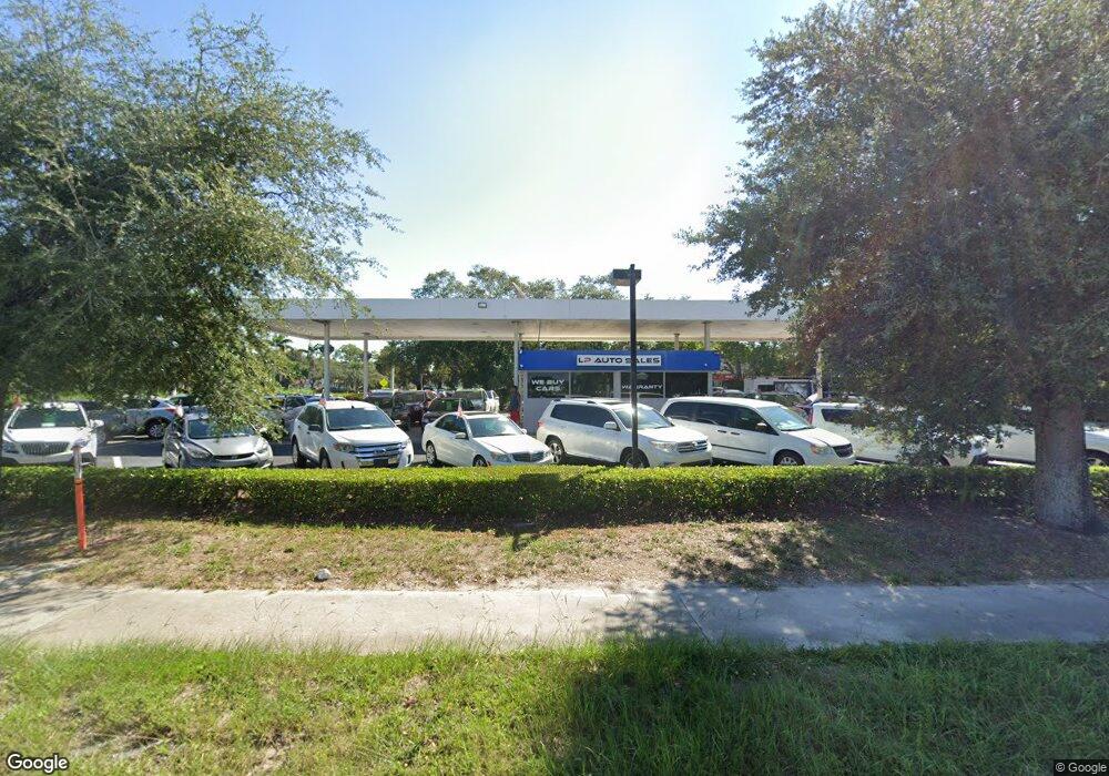
151 Airport Rd Naples, FL 34104
East Naples NeighborhoodEstimated Value: $902,000 - $1,001,000
--
Bed
--
Bath
1,035
Sq Ft
$920/Sq Ft
Est. Value
About This Home
This home is located at 151 Airport Rd, Naples, FL 34104 and is currently estimated at $952,622, approximately $920 per square foot. 151 Airport Rd is a home located in Collier County with nearby schools including Shadowlawn Elementary School, Naples High School, and East Naples Middle School.
Ownership History
Date
Name
Owned For
Owner Type
Purchase Details
Closed on
Jul 15, 2015
Sold by
Rc Airport Radio Road Llc
Bought by
J & A Naples Fl Llc
Current Estimated Value
Purchase Details
Closed on
Mar 19, 2013
Sold by
Florida Community Bank National Associat
Bought by
Rc Airport Radio Road Llc
Purchase Details
Closed on
Nov 30, 2010
Sold by
Rush Petroleum Inc
Bought by
Premier American Bank Na
Purchase Details
Closed on
Nov 23, 2004
Sold by
Panther Petroleum Inc
Bought by
Rush Petroleum Inc
Home Financials for this Owner
Home Financials are based on the most recent Mortgage that was taken out on this home.
Original Mortgage
$545,000
Interest Rate
5.67%
Mortgage Type
Purchase Money Mortgage
Create a Home Valuation Report for This Property
The Home Valuation Report is an in-depth analysis detailing your home's value as well as a comparison with similar homes in the area
Home Values in the Area
Average Home Value in this Area
Purchase History
| Date | Buyer | Sale Price | Title Company |
|---|---|---|---|
| J & A Naples Fl Llc | $660,000 | Attorney | |
| Rc Airport Radio Road Llc | $340,000 | Attorney | |
| Premier American Bank Na | $125,000 | Attorney | |
| Rush Petroleum Inc | $645,000 | -- |
Source: Public Records
Mortgage History
| Date | Status | Borrower | Loan Amount |
|---|---|---|---|
| Previous Owner | Rush Petroleum Inc | $545,000 |
Source: Public Records
Tax History Compared to Growth
Tax History
| Year | Tax Paid | Tax Assessment Tax Assessment Total Assessment is a certain percentage of the fair market value that is determined by local assessors to be the total taxable value of land and additions on the property. | Land | Improvement |
|---|---|---|---|---|
| 2025 | $8,005 | $775,746 | -- | -- |
| 2024 | $7,763 | $705,224 | -- | -- |
| 2023 | $7,763 | $641,113 | $0 | $0 |
| 2022 | $7,777 | $582,830 | $0 | $0 |
| 2021 | $6,778 | $529,845 | $0 | $0 |
| 2020 | $5,447 | $481,677 | $310,900 | $170,777 |
| 2019 | $5,399 | $474,001 | $310,900 | $163,101 |
| 2018 | $5,201 | $453,375 | $310,800 | $142,575 |
| 2017 | $5,107 | $435,348 | $0 | $0 |
| 2016 | $4,592 | $395,771 | $0 | $0 |
| 2015 | $4,416 | $369,106 | $0 | $0 |
| 2014 | $4,159 | $343,463 | $0 | $0 |
Source: Public Records
Map
Nearby Homes
- 3555 Avion Woods Ct Unit 501
- 3505 Avion Woods Ct Unit 902
- 0 N A Unit MFROM709096
- 3100 North Rd Unit 303
- 3100 North Rd Unit 319
- 3100 North Rd Unit 317
- 3100 North Rd Unit 305
- 3100 North Rd Unit 239
- 3415 Poinsettia Ave
- 4011 Coconut Cir N
- 3915 Lotus Dr
- 1147 Steeves Ave
- 2250 North Rd
- 3530 Hibiscus Ave
- 3552 Hibiscus Ave
- 3455 Estey Ave
- 883 Coconut Cir E
- 3897 Coconut Cir S Unit 2
- 3325 Airport Rd S Unit H-6
- 3325 Airport Rd S
- 301 Airport Rd S Unit C6
- 3415 Radio Rd Unit 108
- 3415 Radio Rd Unit 109
- 3415 Radio Rd Unit 107
- 3415 Radio Rd Unit 110
- 3415 Radio Rd Unit 104
- 321 Airport Rd N
- 101 Aviation Dr N Unit 101
- 281 Airport Rd N
- 283 Airport Rd N
- 329 Airport Pulling Rd N
- 3425 Radio Rd Unit 212
- 3425 Radio Rd Unit 216
- 3425 Radio Rd Unit 213
- 3425 Radio Rd Unit 214
- 3425 Radio Rd Unit 201, 203, 205
- 3425 Radio Rd Unit 208
- 3425 Radio Rd Unit 217