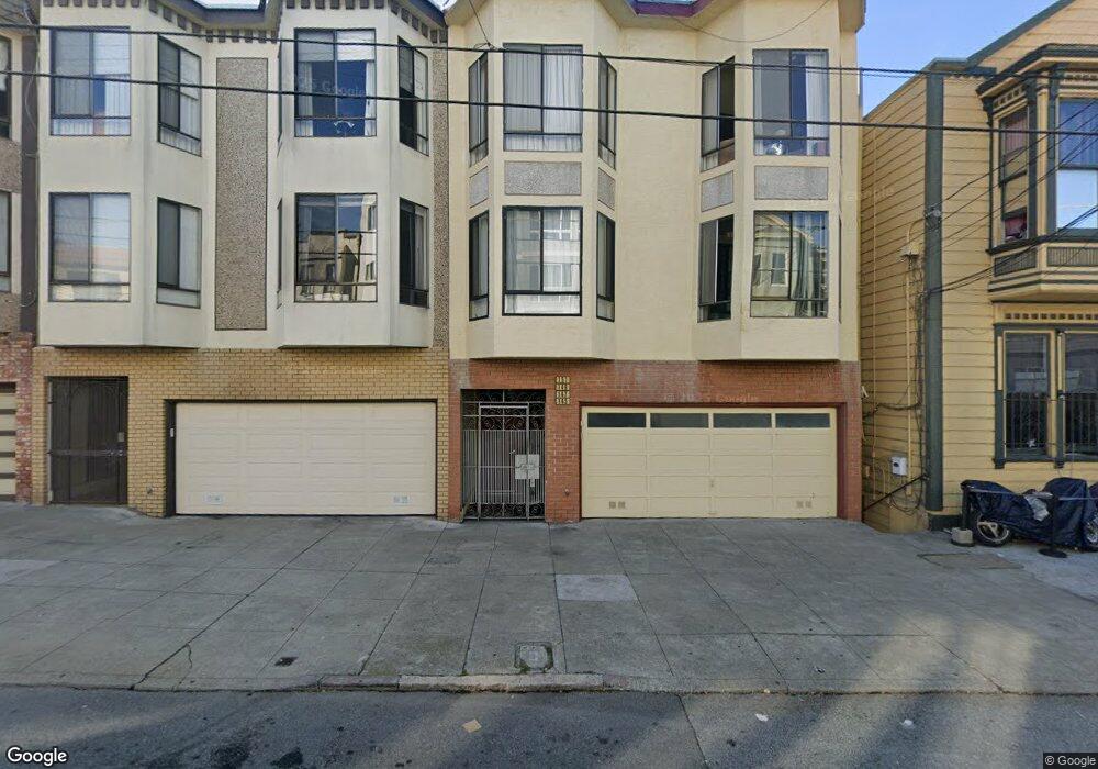
151 Blake St San Francisco, CA 94118
Lone Mountain NeighborhoodEstimated Value: $536,437 - $1,040,000
1
Bed
1
Bath
680
Sq Ft
$1,251/Sq Ft
Est. Value
About This Home
This home is located at 151 Blake St, San Francisco, CA 94118 and is currently estimated at $850,609, approximately $1,250 per square foot. 151 Blake St is a home located in San Francisco County with nearby schools including New Traditions Elementary School, Roosevelt Middle School, and Presidio Hill School.
Ownership History
Date
Name
Owned For
Owner Type
Purchase Details
Closed on
May 7, 2013
Sold by
Tam Albert Shekming and Lo Connie Ho Ho
Bought by
Tam Albert S and Tam Connie Ho Lo
Current Estimated Value
Home Financials for this Owner
Home Financials are based on the most recent Mortgage that was taken out on this home.
Original Mortgage
$185,500
Interest Rate
4.62%
Mortgage Type
New Conventional
Create a Home Valuation Report for This Property
The Home Valuation Report is an in-depth analysis detailing your home's value as well as a comparison with similar homes in the area
Home Values in the Area
Average Home Value in this Area
Purchase History
| Date | Buyer | Sale Price | Title Company |
|---|---|---|---|
| Tam Albert S | -- | Chicago Title Company | |
| Tam Albert Shekming | -- | Chicago Title Company |
Source: Public Records
Mortgage History
| Date | Status | Borrower | Loan Amount |
|---|---|---|---|
| Closed | Tam Albert Shekming | $185,500 |
Source: Public Records
Tax History Compared to Growth
Tax History
| Year | Tax Paid | Tax Assessment Tax Assessment Total Assessment is a certain percentage of the fair market value that is determined by local assessors to be the total taxable value of land and additions on the property. | Land | Improvement |
|---|---|---|---|---|
| 2025 | $2,963 | $178,064 | $89,032 | $89,032 |
| 2024 | $2,963 | $174,574 | $87,287 | $87,287 |
| 2023 | $2,782 | $171,152 | $85,576 | $85,576 |
| 2022 | $2,712 | $167,798 | $83,899 | $83,899 |
| 2021 | $2,659 | $164,508 | $82,254 | $82,254 |
| 2020 | $2,741 | $162,822 | $81,411 | $81,411 |
| 2019 | $2,604 | $159,630 | $79,815 | $79,815 |
| 2018 | $2,519 | $156,500 | $78,250 | $78,250 |
| 2017 | $2,191 | $153,432 | $76,716 | $76,716 |
| 2016 | $2,126 | $150,424 | $75,212 | $75,212 |
| 2015 | $2,097 | $148,166 | $74,083 | $74,083 |
| 2014 | $2,044 | $145,264 | $72,632 | $72,632 |
Source: Public Records
Map
Nearby Homes
- 660 Spruce St
- 238 Parker Ave
- 53 Wood St
- 245 Ewing Terrace
- 23 Wood St
- 21 Wood St
- 22 Wood St
- 2427 Turk Blvd
- 3657 California St
- 35 Commonwealth Ave
- 427 Spruce St
- 440 Laurel St
- 436a Laurel St
- 3561 Sacramento St Unit A
- 3583 Sacramento St
- 1450 Lyon St
- 275 Stanyan St
- 3515 Sacramento St
- 2580 Mcallister St
- 500 Masonic Ave Unit 8
- 139-143 Blake St
- 139 Blake St Unit 143
- 147 Blake St
- 149 Blake St
- 133 Blake St
- 127 Blake St
- 163 Blake St Unit 165
- 136 Blake St Unit 138
- 132 Cook St Unit 134
- 148 Cook St
- 148 Cook St
- 148 Cook St
- 150 Cook St Unit 152
- 3015 Geary Blvd
- 156 Cook St Unit 160
- 132 Blake St
- 164 Cook St
- 3017 Geary Blvd
- 148 Blake St
- 148 Blake St Unit 3