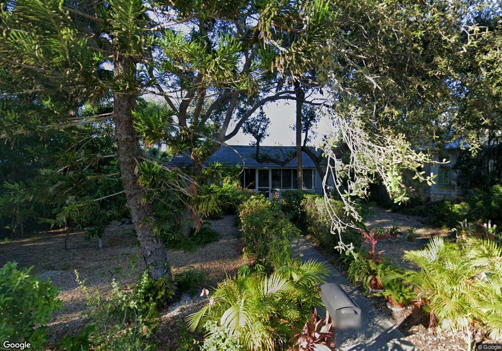
151 Broad Ave S Naples, FL 34102
Old Naples NeighborhoodEstimated Value: $2,873,000 - $4,221,000
Studio
--
Bath
1,728
Sq Ft
$2,033/Sq Ft
Est. Value
About This Home
This home is located at 151 Broad Ave S, Naples, FL 34102 and is currently estimated at $3,513,417, approximately $2,033 per square foot. 151 Broad Ave S is a home located in Collier County with nearby schools including Lake Park Elementary School, Naples High School, and Gulfview Middle School.
Ownership History
Date
Name
Owned For
Owner Type
Purchase Details
Closed on
Dec 29, 2022
Sold by
Sullivan Daniel B
Bought by
Sullivan Daniel J
Current Estimated Value
Purchase Details
Closed on
Apr 12, 2006
Sold by
Lieberman Albert G and Lieberman James K
Bought by
Sullivan Daniel B
Purchase Details
Closed on
May 14, 1996
Sold by
Liberman Albert G and Lieberman Mildred D
Bought by
Lieberman Albert G and Lieberman James K
Create a Home Valuation Report for This Property
The Home Valuation Report is an in-depth analysis detailing your home's value as well as a comparison with similar homes in the area
Home Values in the Area
Average Home Value in this Area
Purchase History
| Date | Buyer | Sale Price | Title Company |
|---|---|---|---|
| Sullivan Daniel J | -- | -- | |
| Sullivan Daniel B | $2,100,000 | Attorney | |
| Lieberman Albert G | -- | -- |
Source: Public Records
Tax History
| Year | Tax Paid | Tax Assessment Tax Assessment Total Assessment is a certain percentage of the fair market value that is determined by local assessors to be the total taxable value of land and additions on the property. | Land | Improvement |
|---|---|---|---|---|
| 2025 | $27,955 | $2,696,158 | -- | -- |
| 2024 | $26,860 | $2,451,053 | -- | -- |
| 2023 | $26,860 | $2,228,230 | $0 | $0 |
| 2022 | $23,073 | $2,025,664 | $0 | $0 |
| 2021 | $20,121 | $1,841,513 | $0 | $0 |
| 2020 | $17,746 | $1,674,103 | $0 | $0 |
| 2019 | $15,620 | $1,521,912 | $1,502,820 | $19,092 |
| 2018 | $17,719 | $1,582,481 | $0 | $0 |
| 2017 | $17,203 | $1,438,619 | $0 | $0 |
| 2016 | $16,459 | $1,307,835 | $0 | $0 |
| 2015 | $14,362 | $1,188,941 | $0 | $0 |
| 2014 | $12,333 | $1,080,855 | $0 | $0 |
Source: Public Records
Map
Nearby Homes
- 61 12th Ave S
- 1230 Gulf Shore Blvd S
- 1222 Gordon Dr Unit 15
- 1222 Gordon Dr Unit 2
- 1100 3rd St S Unit 202
- 163 10th Ave S
- 0 10th Ave SE Unit 225020170
- 0 10th Ave SE Unit 226003192
- 187 10th Ave S
- 0 12th Ave SE Unit 225058861
- 0 12th Ave SE Unit 225063978
- 0 12th Ave SE Unit MFRO6321667
- 1295 Gulf Shore Blvd S Unit 136
- 1295 Gulf Shore Blvd S Unit 128
- 1295 Gulf Shore Blvd S Unit 134
- 55 13th Ave S
- 263 10th Ave S
- 273 10th Ave S
- 1021 3rd St S Unit 310
- 1021 3rd St S Unit 110
- 151 Broad Ave S Unit REAR
- 131 Broad Ave S
- 187 Broad Ave S
- 107 Broad Ave S
- 140 Broad Ave S
- 130 11th Ave S
- 186 11th Ave S
- 160 Broad Ave S
- 102 Broad Ave S Unit A-310
- 180 Broad Ave S Unit PH
- 180 Broad Ave S
- 110 Broad Ave S Unit Cottage
- 110 Broad Ave S
- 112 Broad Ave S
- 91 Broad Ave S
- 207 Broad Ave S
- 1160 Gordon Dr Unit A/B
- 1160 Gordon Dr
- 1170 Gordon Dr Unit COTTAGE
- 1170 Gordon Dr Unit Studio
Your Personal Tour Guide
Ask me questions while you tour the home.