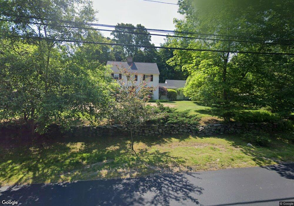
151 Cedar Rd Southport, CT 06890
Estimated Value: $990,000 - $1,201,000
4
Beds
2
Baths
1,778
Sq Ft
$604/Sq Ft
Est. Value
About This Home
This home is located at 151 Cedar Rd, Southport, CT 06890 and is currently estimated at $1,073,441, approximately $603 per square foot. 151 Cedar Rd is a home located in Fairfield County with nearby schools including Mill Hill School, Roger Ludlowe Middle School, and Fairfield Ludlowe High School.
Create a Home Valuation Report for This Property
The Home Valuation Report is an in-depth analysis detailing your home's value as well as a comparison with similar homes in the area
Home Values in the Area
Average Home Value in this Area
Tax History Compared to Growth
Tax History
| Year | Tax Paid | Tax Assessment Tax Assessment Total Assessment is a certain percentage of the fair market value that is determined by local assessors to be the total taxable value of land and additions on the property. | Land | Improvement |
|---|---|---|---|---|
| 2025 | $13,681 | $481,880 | $347,130 | $134,750 |
| 2024 | $13,444 | $481,880 | $347,130 | $134,750 |
| 2023 | $13,257 | $481,880 | $347,130 | $134,750 |
| 2022 | $13,126 | $481,880 | $347,130 | $134,750 |
| 2021 | $13,001 | $481,880 | $347,130 | $134,750 |
| 2020 | $12,906 | $481,740 | $343,350 | $138,390 |
| 2019 | $12,906 | $481,740 | $343,350 | $138,390 |
| 2018 | $12,699 | $481,740 | $343,350 | $138,390 |
| 2017 | $12,439 | $481,740 | $343,350 | $138,390 |
| 2016 | $12,260 | $481,740 | $343,350 | $138,390 |
| 2015 | $11,779 | $475,160 | $363,720 | $111,440 |
| 2014 | $11,594 | $475,160 | $363,720 | $111,440 |
Source: Public Records
Map
Nearby Homes
- 11 Twin Brooks Ln
- 1135 Mill Hill Rd
- 254 Sherwood Farm Rd
- 232 Pell Meadow Dr
- 2683 Bronson Rd
- 56 Drake Ln
- 476 Mill Hill Terrace
- 688 Hulls Farm Rd
- 83 Pell Meadow Dr
- 647 Bronson Rd
- 844 Mill Hill Terrace
- 66 Adams Rd
- 105 Charter Oak Rd
- 33 Middlebrook Place
- 44 Deer Run Rd
- 53 Hilltop Dr
- 1001 Hulls Farm Rd
- 400 Bronson Rd
- 25 Millspaugh Dr
- 153 Pease Ave