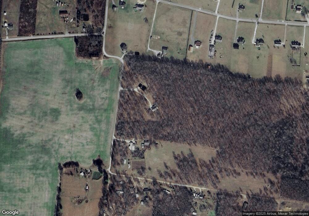
151 Clayton Ln Morrison, TN 37357
Estimated Value: $418,000 - $593,772
Studio
3
Baths
3,224
Sq Ft
$164/Sq Ft
Est. Value
About This Home
This home is located at 151 Clayton Ln, Morrison, TN 37357 and is currently estimated at $527,591, approximately $163 per square foot. 151 Clayton Ln is a home located in Coffee County with nearby schools including Deerfield Elementary School, Coffee County Middle School, and Coffee County Central High School.
Ownership History
Date
Name
Owned For
Owner Type
Purchase Details
Closed on
Jan 30, 2019
Sold by
Sims Doris Anne
Bought by
Blackburn Kayla and Blackburn Travis
Current Estimated Value
Home Financials for this Owner
Home Financials are based on the most recent Mortgage that was taken out on this home.
Original Mortgage
$140,000
Interest Rate
4.6%
Mortgage Type
Future Advance Clause Open End Mortgage
Purchase Details
Closed on
Nov 6, 2013
Sold by
Johnson Marshall H
Bought by
Sims Doris Anne
Purchase Details
Closed on
Jan 1, 1985
Bought by
Mcafferty Douglas Lee and Mcafferty Jennifer A
Create a Home Valuation Report for This Property
The Home Valuation Report is an in-depth analysis detailing your home's value as well as a comparison with similar homes in the area
Purchase History
| Date | Buyer | Sale Price | Title Company |
|---|---|---|---|
| Blackburn Kayla | $72,000 | None Available | |
| Sims Doris Anne | -- | -- | |
| Mcafferty Douglas Lee | $15,000 | -- |
Source: Public Records
Mortgage History
| Date | Status | Borrower | Loan Amount |
|---|---|---|---|
| Closed | Blackburn Kayla | $140,000 |
Source: Public Records
Tax History
| Year | Tax Paid | Tax Assessment Tax Assessment Total Assessment is a certain percentage of the fair market value that is determined by local assessors to be the total taxable value of land and additions on the property. | Land | Improvement |
|---|---|---|---|---|
| 2025 | $2,188 | $110,025 | $6,925 | $103,100 |
| 2024 | $2,188 | $93,875 | $6,925 | $86,950 |
| 2023 | $1,741 | $74,675 | $0 | $0 |
| 2022 | $1,741 | $74,675 | $6,075 | $68,600 |
| 2021 | $1,600 | $54,575 | $4,925 | $49,650 |
| 2020 | $1,476 | $54,575 | $4,925 | $49,650 |
| 2019 | $83 | $15,900 | $15,900 | $0 |
| 2018 | $83 | $2,825 | $2,825 | $0 |
| 2017 | $90 | $2,750 | $2,750 | $0 |
| 2016 | $90 | $2,750 | $2,750 | $0 |
| 2015 | $90 | $2,750 | $2,750 | $0 |
| 2014 | $89 | $2,740 | $0 | $0 |
Source: Public Records
Map
Nearby Homes
- 0 Mcafee Rd
- 631 W Maple St
- 967 Mud Creek Rd
- 511 N Main St
- 0 Goforth Rd
- 490 Shady Grove Rd
- 0 Caney Branch Rd
- 120 Boyd St
- 431 S Fair St
- 638 Summitville Rd
- 110 Saddle St
- 22 Hickory Dr
- 667 Pete Sain Rd
- 10910 Shelbyville Rd
- 363 Willow Brook Dr
- 0 Finger Bluff Rd
- 0 Volunteer Ave
- 0 Old Wells Rd
- 39 Henegar Rd
- 1051 Herman Lance Rd
- 251 Clayton Ln
- 130 Bell Rd
- 192 Bell Rd
- 226 Bell Rd
- 37 Clayton Ln
- 278 Bell Rd
- 307 Clayton Ln
- 68 Bell Rd
- 304 Bell Rd
- 32 Bell Rd
- 870 Mcafee Rd
- 259 Bell Rd
- 338 Bell Rd
- 274 Chris Lee Rd
- 839 Mcafee Rd
- 0 Bell Rd
- 0 Ball Park Rd
- 372 Bell Rd
- 0 Chris Lee Ln Unit RTC2663316
- 0 Bell Road Tract 17 & 18 Unit RTC2485696
