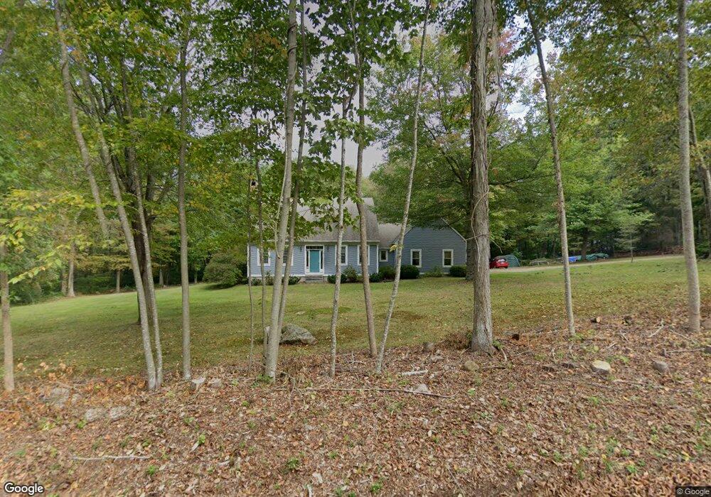
151 Daniel Peck Rd East Haddam, CT 06423
Estimated Value: $522,513 - $585,000
3
Beds
3
Baths
2,066
Sq Ft
$271/Sq Ft
Est. Value
About This Home
This home is located at 151 Daniel Peck Rd, East Haddam, CT 06423 and is currently estimated at $558,878, approximately $270 per square foot. 151 Daniel Peck Rd is a home located in Middlesex County with nearby schools including East Haddam Elementary School, Nathan Hale-Ray Middle School, and Nathan Hale-Ray High School.
Ownership History
Date
Name
Owned For
Owner Type
Purchase Details
Closed on
Dec 15, 1994
Sold by
Quinn and Quinn Mason
Bought by
Homer Lalura T and Ryan Timothy L
Current Estimated Value
Home Financials for this Owner
Home Financials are based on the most recent Mortgage that was taken out on this home.
Original Mortgage
$158,450
Interest Rate
9.03%
Mortgage Type
Purchase Money Mortgage
Purchase Details
Closed on
May 23, 1994
Sold by
Masci Michael B
Bought by
Quinn & Quinn Mason Co
Home Financials for this Owner
Home Financials are based on the most recent Mortgage that was taken out on this home.
Original Mortgage
$130,000
Interest Rate
8.44%
Purchase Details
Closed on
Apr 8, 1992
Sold by
Theodore Peck Assoc
Bought by
Masci Michael B
Create a Home Valuation Report for This Property
The Home Valuation Report is an in-depth analysis detailing your home's value as well as a comparison with similar homes in the area
Home Values in the Area
Average Home Value in this Area
Purchase History
| Date | Buyer | Sale Price | Title Company |
|---|---|---|---|
| Homer Lalura T | $198,100 | -- | |
| Quinn & Quinn Mason Co | $51,000 | -- | |
| Masci Michael B | $47,000 | -- |
Source: Public Records
Mortgage History
| Date | Status | Borrower | Loan Amount |
|---|---|---|---|
| Closed | Masci Michael B | $65,000 | |
| Closed | Masci Michael B | $159,200 | |
| Closed | Masci Michael B | $158,450 | |
| Previous Owner | Masci Michael B | $130,000 |
Source: Public Records
Tax History Compared to Growth
Tax History
| Year | Tax Paid | Tax Assessment Tax Assessment Total Assessment is a certain percentage of the fair market value that is determined by local assessors to be the total taxable value of land and additions on the property. | Land | Improvement |
|---|---|---|---|---|
| 2025 | $7,560 | $269,430 | $76,580 | $192,850 |
| 2024 | $7,210 | $269,430 | $76,580 | $192,850 |
| 2023 | $6,938 | $269,430 | $76,580 | $192,850 |
| 2022 | $6,635 | $208,710 | $62,830 | $145,880 |
| 2021 | $6,353 | $208,710 | $62,830 | $145,880 |
| 2020 | $6,353 | $208,710 | $62,830 | $145,880 |
| 2019 | $6,353 | $208,710 | $62,830 | $145,880 |
| 2018 | $6,190 | $208,710 | $62,830 | $145,880 |
| 2017 | $5,980 | $202,160 | $76,300 | $125,860 |
| 2016 | $5,933 | $202,160 | $76,300 | $125,860 |
| 2015 | $5,798 | $202,160 | $76,300 | $125,860 |
| 2014 | $5,640 | $202,160 | $76,300 | $125,860 |
Source: Public Records
Map
Nearby Homes
- 112 Schulman Veslak Rd
- 63 Schulman Veslak Rd
- 114 Lakeside Dr
- 0 Lakeside Dr
- 21 Olmstead Rd
- 23 Olmstead Rd
- 206 Sheepskin Hollow Rd
- 8 Tom Rd
- 331 Tater Hill Rd
- 317 Tater Hill Rd
- 42 Dogwood Rd
- 53 Falls Bashan Rd
- 73 Lake Shore Dr
- 53 Shanaghans Rd
- 154 Falls Rd
- 90 Lake Shore Dr
- 129 Salem Rd
- 45 Alger Rd
- 0 Hopyard Rd Unit 24103236
- 55 Bogel Rd
- 11 Beebe Rd
- 7 Beebe Rd
- 156 Daniel Peck Rd
- 161 Daniel Peck Rd
- 3 Beebe Rd
- 162 Daniel Peck Rd
- 15 Beebe Rd
- 166 Daniel Peck Rd
- 19 Beebe Rd
- 137 Daniel Peck Rd
- 143 Daniel Peck Rd
- 180 Daniel Peck Rd
- 171 Daniel Peck Rd
- 23 Beebe Rd
- 8 Beebe Rd
- 12 Beebe Rd
- 152 Daniel Peck Rd
- 144 Daniel Peck Rd
- 184 Daniel Peck Rd
- 158 Daniel Peck Rd