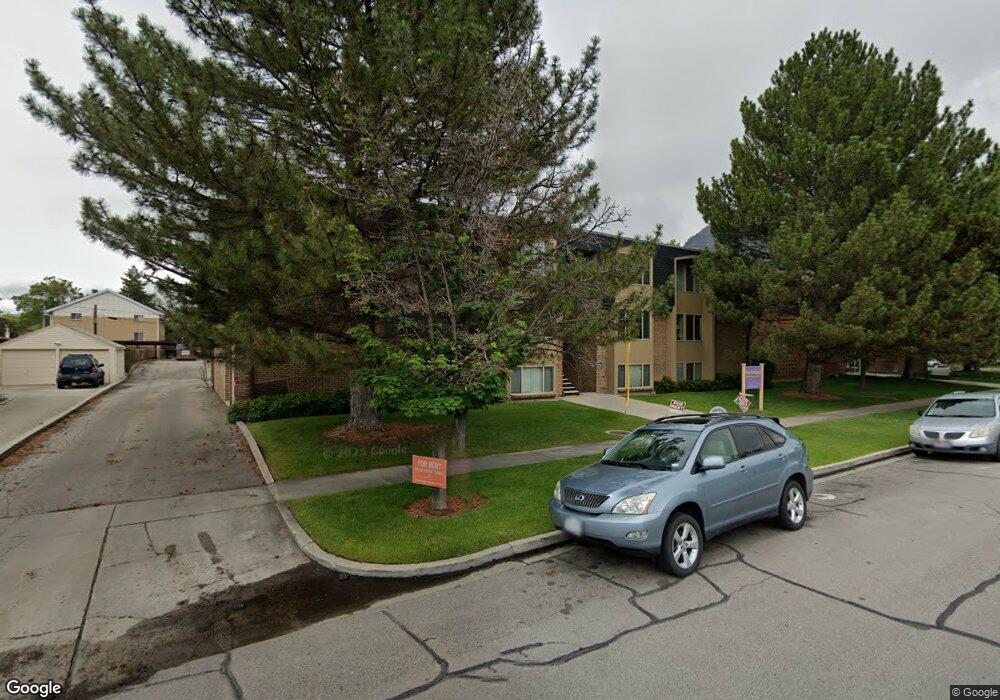
151 E 300 N Unit 5 Provo, UT 84606
Joaquin NeighborhoodEstimated Value: $398,000 - $412,111
3
Beds
2
Baths
1,190
Sq Ft
$339/Sq Ft
Est. Value
About This Home
This home is located at 151 E 300 N Unit 5, Provo, UT 84606 and is currently estimated at $403,704, approximately $339 per square foot. 151 E 300 N Unit 5 is a home located in Utah County with nearby schools including Provo Peaks School, Centennial Middle School, and Timpview High School.
Ownership History
Date
Name
Owned For
Owner Type
Purchase Details
Closed on
Jul 30, 2015
Sold by
Clark Lori A and Clark George P
Bought by
Geo Proeprties Llc
Current Estimated Value
Purchase Details
Closed on
Sep 23, 2014
Sold by
Fort Canyon Investments Ltd
Bought by
Clark Lori A and Clark George P
Home Financials for this Owner
Home Financials are based on the most recent Mortgage that was taken out on this home.
Original Mortgage
$123,000
Interest Rate
4.07%
Mortgage Type
New Conventional
Create a Home Valuation Report for This Property
The Home Valuation Report is an in-depth analysis detailing your home's value as well as a comparison with similar homes in the area
Home Values in the Area
Average Home Value in this Area
Purchase History
| Date | Buyer | Sale Price | Title Company |
|---|---|---|---|
| Geo Proeprties Llc | -- | Old Republic Title | |
| Clark Lori A | -- | Old Republic Title | |
| Fort Canyon Investments Ltd | -- | Old Republic Title |
Source: Public Records
Mortgage History
| Date | Status | Borrower | Loan Amount |
|---|---|---|---|
| Previous Owner | Fort Canyon Investments Ltd | $123,000 |
Source: Public Records
Tax History
| Year | Tax Paid | Tax Assessment Tax Assessment Total Assessment is a certain percentage of the fair market value that is determined by local assessors to be the total taxable value of land and additions on the property. | Land | Improvement |
|---|---|---|---|---|
| 2025 | $2,159 | $206,745 | -- | -- |
| 2024 | $2,159 | $212,520 | $0 | $0 |
| 2023 | $1,969 | $191,070 | $0 | $0 |
| 2022 | $1,709 | $167,200 | $0 | $0 |
| 2021 | $1,437 | $245,200 | $29,400 | $215,800 |
| 2020 | $1,417 | $226,700 | $27,200 | $199,500 |
| 2019 | $1,233 | $205,200 | $25,500 | $179,700 |
| 2018 | $1,126 | $190,000 | $25,500 | $164,500 |
| 2017 | $1,092 | $101,255 | $0 | $0 |
| 2016 | $1,085 | $93,775 | $0 | $0 |
| 2015 | $1,032 | $90,145 | $0 | $0 |
| 2014 | $990 | $90,145 | $0 | $0 |
Source: Public Records
Map
Nearby Homes
Your Personal Tour Guide
Ask me questions while you tour the home.